Near Reliance in Lyman County, South Dakota — The American Midwest (Upper Plains)
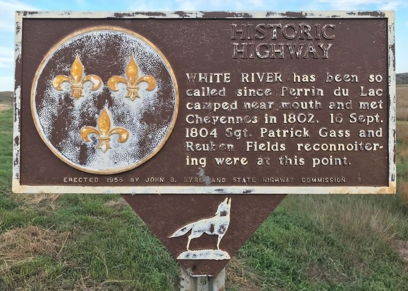
Historic Highway
October 18, 2021
1. Historic Highway Marker
Erected 1956 by John B. Byre and State Highway Commission. (Marker Number 188.)
Topics and series. This historical marker is listed in these topic lists: Exploration • Indigenous Peoples and Communities • Roads & Vehicles • Waterways & Vessels. In addition, it is included in the South Dakota State Historical Society Markers series list. A significant historical date for this entry is September 16, 1802.
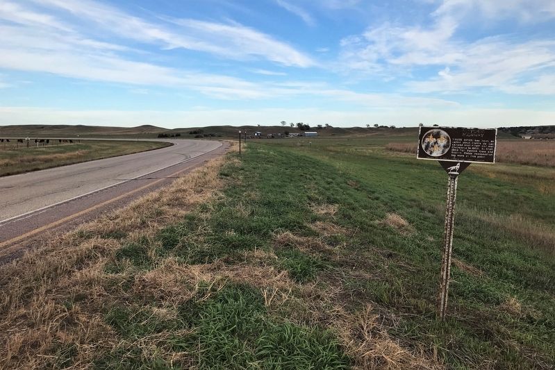
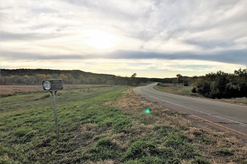
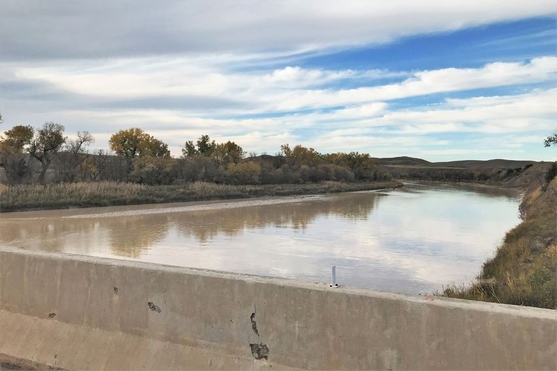
Location. 43° 44.927′ N, 99° 33.191′ W. Marker is near Reliance, South Dakota, in Lyman County. It is on State Highway 47 4 miles south of 248th Street (County Road 6), on the left when traveling south. The marker stands just northeast of White River. Touch for map. Marker is in this post office area: Reliance SD 57569, United States of America. Touch for directions.

Regionally, this marker is in the Lower Brule Sioux Tribe and in East River. It is also in the American Lewis & Clark Corridor, on the prairies, and on the Northern Plains.
this page online
Other nearby markers. At least 2 other markers are within 12 miles of this marker, measured as the crow flies: This was until 1953 American Island (approx. 10.8 miles away); Roland L. Dolly Memorial Recreational Trail (approx. 11.3 miles away).
October 18, 2021
2. Historic Highway Marker
October 18, 2021
3. Historic Highway Marker
October 18, 2021
4. White River, nearby
Credits. This page was last revised on October 26, 2021. It was originally submitted on October 25, 2021. This page has been viewed 295 times since then and 15 times this year. Photos: 1, 2, 3, 4. submitted on October 25, 2021. • Devry Becker Jones was the editor who published this page.
