Downtown in Sioux Falls in Minnehaha County, South Dakota — The American Midwest (Upper Plains)
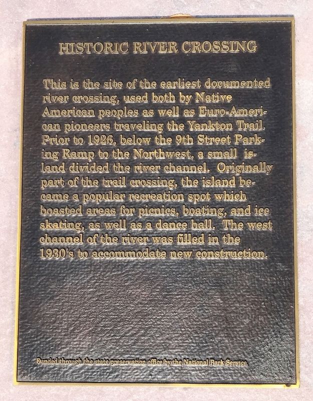
Historic River Crossing
October 23, 2021
1. Historic River Crossing Marker
Erected by National Park Service through the State Preservation Office.
Topics. This historical marker is listed in these topic lists: Parks & Recreational Areas • Roads & Vehicles • Waterways & Vessels. A significant historical year for this entry is 1926.
Location. 43° 32.829′ N, 96° 43.491′ W. Marker is in Sioux Falls, South Dakota, in Minnehaha County. It is in Downtown. It is on River Road 0.1 miles north of East 10th Street (State Highway 42), on the right when traveling north. Touch for map. Marker is in this post office area: Sioux Falls SD 57104, United States of America. Touch for directions.

Regionally,
this page online
Other nearby markers. At least 8 other markers are within walking distance of this marker: The Dakota Land Company (here, next to this marker); First Industrial Park (here, next to this marker); Rock Island Railroad Bridge (here, next to this marker); Fort Sod (here, next to this marker); Incident at Fort Sod (within shouting distance of this marker); The "Squatter" Government at Sioux Falls City (about 300 feet away, measured in a direct line); The Donahoe Clinic (about 300 feet away); Fort Dakota (about 400 feet away). Touch for a list and map of all markers in Sioux Falls.
October 23, 2021
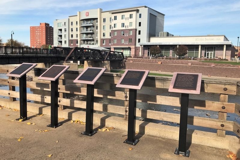
2. Historic River Crossing Marker (third from the left)
Credits. This page was last revised on February 16, 2023. It was originally submitted on October 28, 2021. This page has been viewed 349 times since then and 22 times this year. Photos: 1, 2. submitted on October 28, 2021. • J. Makali Bruton was the editor who published this page.
