Yorktown in York County, Virginia — The American South (Mid-Atlantic)
Unknown Confederate Soldiers
Photographed by Bradley Owen, October 18, 2021
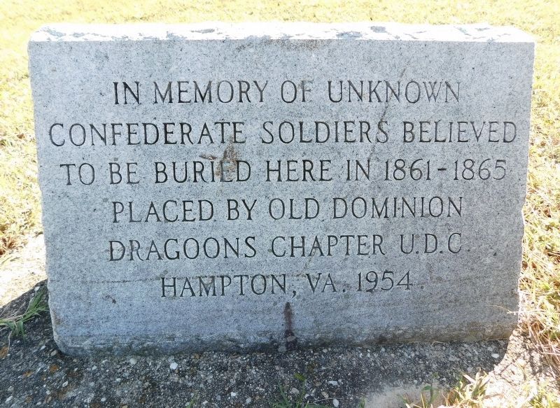
1. Unknown Confederate Soldiers Marker
Confederate Soldiers believed
to be buried here in 1861-1865
Erected 1954 by Old Dominion Dragoons Chapter U.D.C. Hampton, VA.
Topics. This memorial is listed in these topic lists: Cemeteries & Burial Sites • War, US Civil.
Location. 37° 13.529′ N, 76° 30.012′ W. Memorial is in Yorktown, Virginia, in York County. It can be reached from the intersection of Cook Road (Virginia Route 238) and Goosley Road ( Route 238), on the right when traveling north. Marker is located at Stop C on the Yorktown Battlefield Driving Tour (National Cemetery). Touch for map. Memorial is in this post office area: Yorktown VA 23690, United States of America. Touch for directions.

Regionally, this memorial is on Virginia’s Peninsula, in Coastal Virginia, and in the Hampton Roads Metropolitan Area. It is also in the American South, specifically in the Upper South, in the Tidewater, and on the Eastern Seaboard. Globally, it is in the North Atlantic Region, North America, the Western Hemisphere, the Western World, and the Anglosphere. Historically,
this page online
Other nearby markers. At least 8 other markers are within walking distance of this marker: French Soldiers and Sailors (approx. 0.2 miles away); Redoubt 9 (approx. 0.2 miles away); Communicating Trench (approx. 0.2 miles away); Grand American Battery (approx. 0.2 miles away); The First Siege Line (approx. 0.2 miles away); The Second Siege Line (approx. ¼ mile away); Redoubts 9 and 10 (approx. ¼ mile away); Capture of Redoubt No. 10 (approx. 0.3 miles away). Touch for a list and map of all markers in Yorktown.
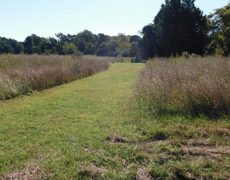
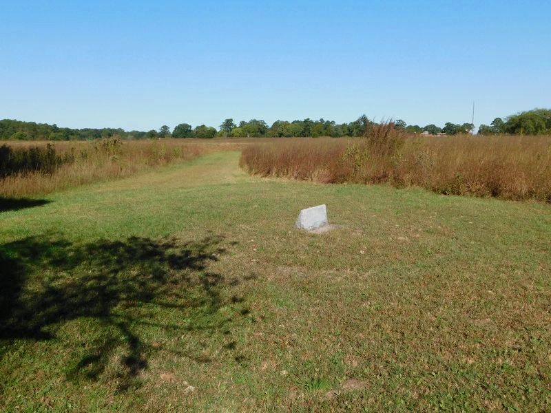
More about this memorial. From the parking lot, follow the path along the earthworks heading east. Pass three flagpoles. Before the fourth flagpole there is a short path on the right that leads to a small clearing and the marker. The map location coordinates will be helpful.
Also see . . . Yorktown Battlefield - Part of Colonial National Historical Park Virginia. National Park Service (Submitted on November 9, 2021.)
Photographed by Bradley Owen, October 18, 2021
2. Unknown Confederate Soldiers Marker
View is looking south from the trail along the earthworks towards the marker.
Photographed by Bradley Owen, October 18, 2021
3. Unknown Confederate Soldiers Marker
View is looking north towards the trail along the earthworks. The landmark “fourth flagpole” can be seen on the far right in the distance.
Credits. This page was last revised on November 9, 2021. It was originally submitted on November 7, 2021, by Bradley Owen of Morgantown, West Virginia. This page has been viewed 414 times since then and 46 times this year. Photos: 1, 2, 3. submitted on November 7, 2021, by Bradley Owen of Morgantown, West Virginia. • Bernard Fisher was the editor who published this page.
