Kennebunk in York County, Maine — The American Northeast (New England)
The Larrabee Garrison / Le Fort Larrabee
Kennebunk, Maine
— The Museum in the Streets® —

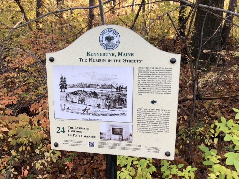
Photographed By Devry Becker Jones (CC0), November 14, 2021
1. The Larrabee Garrison / Le Fort Larrabee Marker
Near this spot stood the Larrabee Garrison which was constructed between 1714 - 1722 by William and Stephen Larrabee. It embraced more than an acre of ground and had thick timber walls. Within the walls were five houses. During times of hostilities with the Native Americans, all who lived within the vicinity would take refuge here. Historian William Barry placed a large granite monument just off this path to commemorate the site in the early 1900s. The graves of these early settlers, including Stephen Larrabee, are buried near the monument but their markers are no longer visible.
Erected by The Museum in the Streets®. (Marker Number 24.)
Topics and series. This historical marker is listed in these topic lists: Cemeteries & Burial Sites • Colonial Era • Forts and Castles • Native Americans. In addition, it is included in the The Museum in the Streets®: Kennebunk, Maine series list. A significant historical year for this entry is 1714.
Location. 43° 22.005′ N, 70° 31.71′ W. Marker is in Kennebunk, Maine, in York County. Marker can be reached from Oceanview Road, 0.1 miles west of Florence Circle, on the right when traveling west. Touch for map. Marker is at or near this postal address: 19 Oceanview Rd, Kennebunk ME 04043, United States of America. Touch for directions.
Other nearby markers. At least 8 other markers are within 2 miles of this marker, measured as the crow flies. The Butland Shipyard and Cemetery / Le chantier naval Butland et le Cimetière (approx. 0.3 miles away); The George Wise Home / La demeure George Wise (approx. 1.1 miles away); The James Hubbard Home / La demeure James Hubbard (approx. 1.1 miles away); Boston & Maine R.R. Depot / La gare du Boston & Maine (approx. 1.2 miles away); The Wedding Cake House / La maison du 'Gâteau de Mariage' (approx. 1.2 miles away); The Landing / The Landing (le quai)

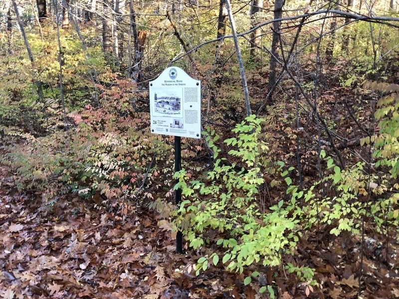
Photographed By Devry Becker Jones (CC0), November 14, 2021
2. The Larrabee Garrison / Le Fort Larrabee Marker
Additional commentary.
1. Bias in the Marker
This sentence in the marker features a Eurocentric bias:
During times of hostilities with the Native Americans, all who lived within the vicinity would take refuge here."
To address this, the marker could note that settlers of European descent, colonists or colonizers would take refuge, depending on the context.
— Submitted November 21, 2021, by Devry Becker Jones of Washington, District of Columbia.
Credits. This page was last revised on November 21, 2021. It was originally submitted on November 21, 2021, by Devry Becker Jones of Washington, District of Columbia. This page has been viewed 313 times since then and 38 times this year. Photos: 1, 2. submitted on November 21, 2021, by Devry Becker Jones of Washington, District of Columbia.