East Bayside in Portland in Cumberland County, Maine — The American Northeast (New England)
Baxter Trail: Discover the Baxters' legacy in Portland

Photographed By Devry Becker Jones (CC0), November 15, 2021
1. Baxter Trail: Discover the Baxters' legacy in Portland Marker
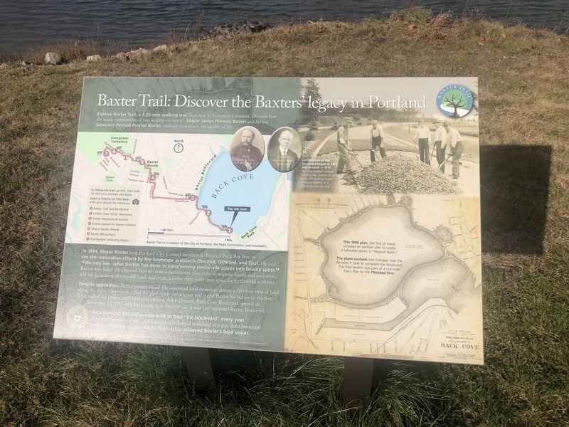
Explore Baxter Trail, a 3.25 mile walking trail from here to Evergreen Cemetery. Discover how the many contributions of two wealthy visionaries, Mayor James Phinney Baxter and his son Governor Percival Proctor Baxter, continue to enhance our quality of life.
In 1894, Mayor Baxter took Portland City Council members to Boston's Back Bay Fens to see the restoration efforts by the landscape architects Olmsted, Olmsted, and Eliot. He said, "We may see…what Boston has done in transforming similar vile places into beauty spots." Baxter then hired the Olmsted firm to create a preliminary plan (right) to improve health and sanitation, and tax-generating developable land, and create a scenic drive with open space for recreational activities.
Despite opposition, Baxter pushed ahead. He convinced land owners to donate a 100-foot strip of land along the shore. Opponents called the plan overly extravagant and it cost Baxter his bid for re-election. That stalled the project until he was re-elected. After 23 years, Back Cove Boulevard opened on November 13, 1917 with Baxter riding in the first car. It was later renamed Baxter Boulevard.
An estimated 350,000 people walk or bike "the boulevard" every year. The transformation from a residential and industrial wasteland to a tree-lined boulevard with commanding views of the Portland skyline achieved Baxter's bold vision.
[Captions:]
Construction of the boulevard began in 1911 and finished in 1917; the road graded, bridges onstructed, pedestrian paths built, the Bedford Street entrance graded, and the esplanade laid out.
This 1896 plan, the first of many, included an earthen dike to create a saltwater pond, a "Pleasure Basin."
,br> The plans evolved and changed over the decades it took to complete the boulevard. The final version was part of a city-wide Parks Plan by the Olmsted firm.
Erected by Baxter Trail. (Marker Number 1.)
Topics. This historical marker is listed in these topic lists: Architecture • Parks & Recreational Areas • Roads & Vehicles • Waterways & Vessels. A significant historical date for this entry is November 13, 1917.
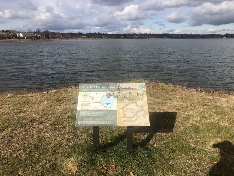
Location. 43° 39.937′ N, 70° 16.173′ W. Marker is in Portland, Maine, in Cumberland County. It is in East Bayside. Marker is on Back Cove Trail, 0.1 miles east of Baxter Boulevard when traveling west. Touch for map. Marker is at or near this postal address: 53 Baxter Blvd, Portland ME 04101, United States of America. Touch for directions.
Other nearby markers. At least 8 other markers are within walking distance of this marker. Welcome to Back Cove Trail: An urban ecosystem / Explore: Portland's Magic Spaces

Photographed By Devry Becker Jones (CC0), November 15, 2021
2. Baxter Trail: Discover the Baxters' legacy in Portland Marker
Credits. This page was last revised on February 13, 2023. It was originally submitted on November 22, 2021, by Devry Becker Jones of Washington, District of Columbia. This page has been viewed 184 times since then and 10 times this year. Photos: 1, 2. submitted on November 22, 2021, by Devry Becker Jones of Washington, District of Columbia.