Near Ewing in Lee County, Virginia — The American South (Mid-Atlantic)
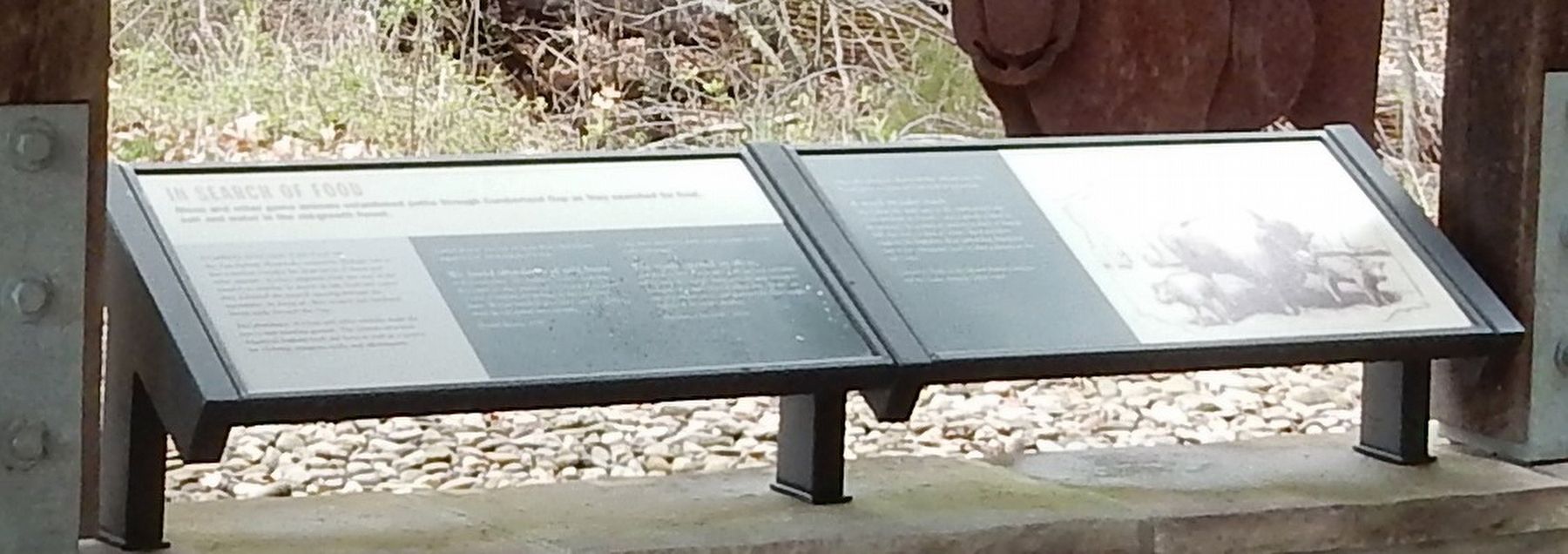
In Search of Food
Cumberland Gap, a notch in the Appalachian Mountains created by geologic forces, was a natural corridor for large herds of bison and other animals. As they emigrated from one part of the country to another in search of salt, food and water, they followed the natural opening through the mountains. In doing so, they created and hardened broad trails through the Gap.
The abundance of bison and other animals made the area a rich hunting ground. The animals provided American Indians food and furs, as well as a source for clothing, weapons, tools and adornments.
Daniel Boone was one of many Euro-Americans impressed by the number of bison.
We found abundance of wild beast in their vast forest. The buffalo were more numerous than cattle on other settlements, browzing of the leaves of cane or cropping the herbage on those extensive plains. We saw hundreds in a drove; and the numbers about the salt springs were amazing. — Daniel Boone, 1787Long after the bison were gone, vestiges of their paths remained.
The roads opened by these animals may be reckoned among the national curiosities of the state [Kentucky], being generally wide enough for a carriage or waggon way, in which trees, shrubs, etc., are all trampled down, and destroyed by the irresistible impetus of the mighty phalanx. — Sketches of Louisville, 1819An early pioneer observed the advantage the bison gave to him and his fellow travelers.
A much broader track sloped from the main gate on the southeastern side of the stockade to a road … was a priceless boon to the pioneers. It seemed an ancient product of human skill, but was, in fact, a 'trace,' hard and firm, made by the buffaloes alone which had thundered over it for a thousand years in their journeys to the Salt Licks. — Quoted in Paths of the Mound Building Indians and the Game Animals, 1902-1905
Erected by National Park Service.
Topics. This historical marker is listed in these topic lists: Animals • Environment • Native Americans • Roads & Vehicles. A significant historical year for this entry is 1787.
Location. 36° 36.122′ N, 83° 39.6′ W. Marker is near Ewing, Virginia, in Lee County. Marker can be reached from State Road 872, 0.2 miles north of U.S. 58, on the right when traveling north. Marker is in the Cumberland Gap National Historical Park's Daniel Boone Visitor Information Center. Touch for map. Marker is in this post office area: Ewing VA 24248, United States of America. Touch for directions.
Other nearby markers.
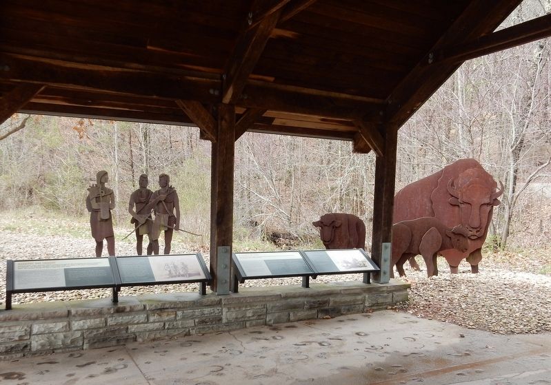
At least 8 other markers are within walking distance of this marker. Warriors and Traders (here, next to this marker); Abundance of Wild Beasts (here, next to this marker); Daniel Boone Wilderness Trail (within shouting distance of this marker); Fulfilling the Dream (about 800 feet away, measured in a direct line); Lee County / Tennessee (approx. ¼ mile away); Harrow School (approx. 0.3 miles away in Tennessee); Boone Trail Highway Marker (approx. 0.3 miles away in Tennessee); Cumberland Gap Veterans Memorial (approx. 0.4 miles away in Tennessee). Touch for a list and map of all markers in Ewing.
Credits. This page was last revised on December 17, 2021. It was originally submitted on December 17, 2021, by Duane and Tracy Marsteller of Murfreesboro, Tennessee. This page has been viewed 155 times since then and 14 times this year. Photos: 1, 2. submitted on December 17, 2021, by Duane and Tracy Marsteller of Murfreesboro, Tennessee.

