Rancho Mission Viejo in Orange County, California — The American West (Pacific Coastal)
Topanga Formation
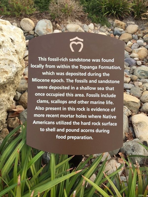
Photographed by Adam Margolis, September 28, 2015
1. Topanga Formation Marker
Erected by Rancho Mission Viejo.
Topics. This historical marker is listed in these topic lists: Agriculture • Anthropology & Archaeology • Indigenous Peoples and Communities • Paleontology.
Location. 33° 31.445′ N, 117° 37.354′ W. Marker is in Rancho Mission Viejo, California, in Orange County. It is on Ribera just west of Ascenso Avenue, on the right when traveling east. Touch for map. Marker is at or near this postal address: 28 Gallo St, Ladera Ranch CA 92694, United States of America. Touch for directions.

Regionally, this marker is in Greater Los Angeles and in the Peninsular Ranges. It is also on the American
this page online
Other nearby markers. At least 8 other markers are within 3 miles of this marker, measured as the crow flies: On the Mesa (approx. 0.6 miles away); Bruce M. Phillips (approx. 2.3 miles away); Feliciano Rios Building (approx. 2.4 miles away); Don Juan Avila Building (approx. 2.4 miles away); Jose Francisco Ortega Building (approx. 2.4 miles away); Don Juan Forester Building (approx. 2.4 miles away); Chief Clarence Lobo Building (approx. 2.4 miles away); Don Jose Antonio Yorba Building (approx. 2.4 miles away). Touch for a list and map of all markers in Rancho Mission Viejo.
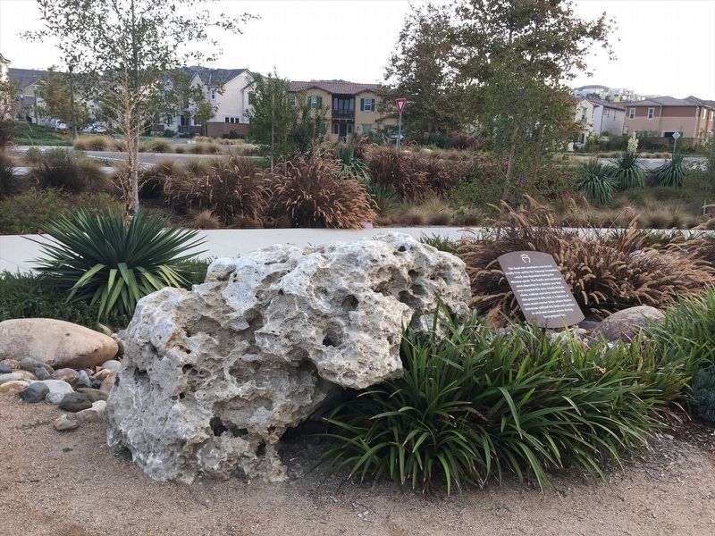
Photographed by Adam Margolis, September 28, 2015
2. Topanga Formation Marker
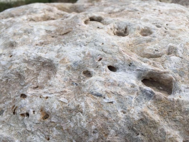
Photographed by Adam Margolis, September 28, 2015
3. The Sandstone
Credits. This page was last revised on December 29, 2021. It was originally submitted on December 26, 2021, by Adam Margolis of Mission Viejo, California. This page has been viewed 669 times since then and 53 times this year. Photos: 1, 2, 3. submitted on December 26, 2021, by Adam Margolis of Mission Viejo, California. • Devry Becker Jones was the editor who published this page.
