San Juan Capistrano in Orange County, California — The American West (Pacific Coastal)
Mission Orchard Wall Foundations
Photographed by Adam Margolis, June 6, 2016
1. Mission Orchard Wall Foundations Marker
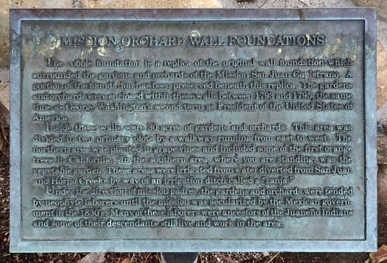
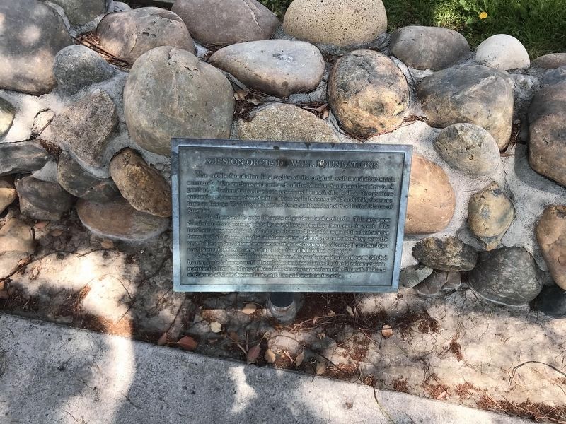
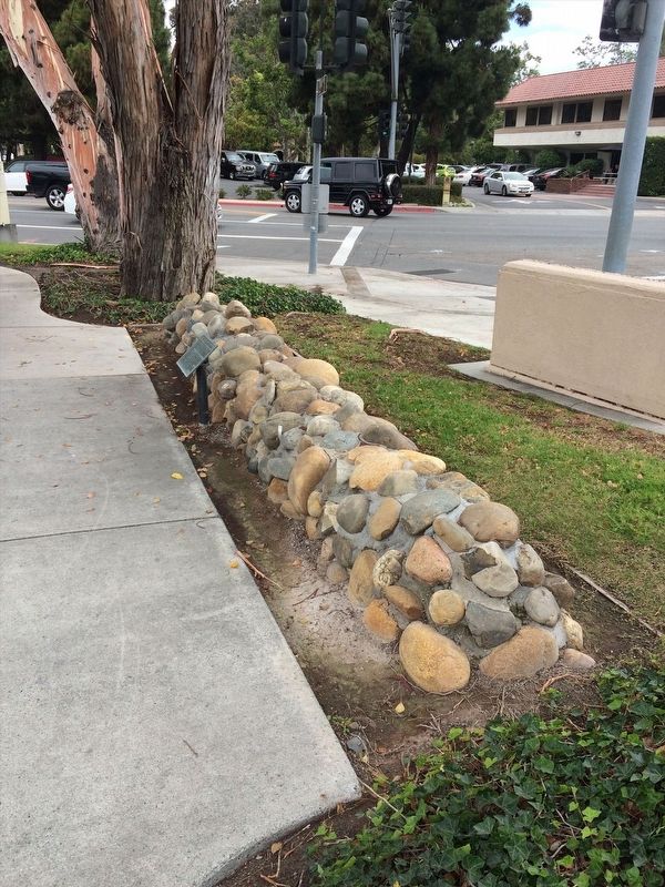
The cobble foundation is a replica of the original wall foundation which surrounded the gardens and orchard of the Mission San Juan Capistrano. A portion of the foundation has been preserved beneath this replica. The garden and orchard where enclosed within these walls between 1793 and 1795, the same time as George Washington's second term as President of the United States of America.
Inside these walls were 30 acres of gardens and orchard. This area was divided in two primary plots by a walkway running from east to west. The northern area was planted n grape vines and including some of the first orange trees in California. In the southern area, where you are stunned, was the vegetable garden. These areas were irrigated from water diverted from the San Juan and Horno Creeks by way of an irrigation ditch called a "zanja."
Under the direction of the mission padres, the gardens and orchard were tended by neophyte laborers until the mission was secularized by the Mexican government in the 1830's. Many of these laborers were ancestors of the Jueaneño Indians and some of their descendants still live and work in the area.
Topics.
this page online
Location. 33° 29.872′ N, 117° 39.686′ W. Marker is in San Juan Capistrano, California, in Orange County. It can be reached from the intersection of Plaza Drive and Del Obispo Street, on the right when traveling south. Touch for map. Marker is at or near this postal address: 31882 Plaza Dr, San Juan Capistrano CA 92675, United States of America. Touch for directions.

Regionally, this marker is in Greater Los Angeles and in the Peninsular Ranges. It is also on the American Pacific Coast. Globally, it is in North America, on the Ring of Fire, on the Pacific Rim, in the Western Hemisphere, in the Western World, and in the Anglosphere. Historically, it finds itself in what was once New Spain and also Mexico’s Alta California.
Other nearby markers. At least 8 other markers are within walking distance of this marker: In 1776 (about 300 feet away, measured in a direct line); Egan House (about
Photographed by Adam Margolis, May 5, 2022
2. Mission Orchard Wall Foundations Marker
Photographed by Adam Margolis, June 6, 2016
3. Mission Orchard Wall Foundations Marker
Credits. This page was last revised on May 16, 2022. It was originally submitted on December 26, 2021, by Adam Margolis of Mission Viejo, California. This page has been viewed 194 times since then and 16 times this year. Photos: 1. submitted on December 26, 2021, by Adam Margolis of Mission Viejo, California. 2. submitted on May 5, 2022, by Adam Margolis of Mission Viejo, California. 3. submitted on December 26, 2021, by Adam Margolis of Mission Viejo, California. • Devry Becker Jones was the editor who published this page.
