Near Broadus in Powder River County, Montana — The American West (Mountains)
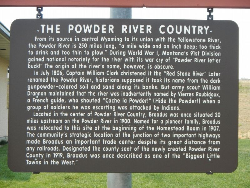
The Powder River Country
In July 1806, Captain William Clark christened it the "Red Stone River" (sic) Later renamed the Powder River, historians suppose it took its name from the dark gunpowder-colored soil and sand along its banks. But army scout William Drannan maintained that the river was inadvertently named by Vierres Roubidoux, a French guide, who shouted "Cache la Powder!" (Hide the Powder!) when a group of soldiers he was escorting was attacked by Indians.
Located in the center of Powder River Country, Broadus was once situated 20 miles upstream on the Powder River in 1900. Named for a pioneer family, Broadus was relocated to this site at the beginning of the Homestead Boom in 1907. The community's strategic location at the junction of two important highways made Broadus an important trade center despite its great distance from any railroads. Designated the county seat of the newly created Powder River County in 1919, Broadus was once described as one of the "Biggest Little Towns in the West."
Erected by Montand Department of Transportation.
Topics. This historical marker is listed in these topic lists: Settlements & Settlers • Waterways & Vessels. A significant historical month for this entry is July 1806.
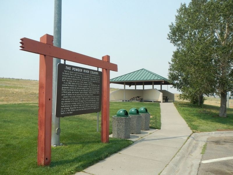
Location. 45° 25.316′ N, 105° 23.841′ W. Marker is near Broadus, Montana, in Powder River County. Marker is on U.S. 212 near Big Powder River East, on the left when traveling north. The marker is located near the visitors information center. Touch for map. Marker is in this post office area: Broadus MT 59317, United States of America. Touch for directions.
Other nearby markers. At least 6 other markers are within 2 miles of this marker, measured as the crow flies. Big Sky Country (a few steps from this marker); The Hell Creek Formation (within shouting distance of this marker); Southeastern Montana (about 600 feet away, measured in a direct line); Let 'er Buck (approx. 1.6 miles away); A Community Formed (approx. 1.6 miles away); a different marker also named Southeastern Montana (approx. 1.7 miles away).
Credits. This page was last revised on December 30, 2021. It was originally submitted on December 30, 2021, by Barry Swackhamer of Brentwood, California. This page has been viewed 326 times since then and 50 times this year. Photos: 1, 2. submitted on December 30, 2021, by Barry Swackhamer of Brentwood, California.

