
De Leon Springs in Volusia County, Florida — The American South (South Atlantic)
Sugar Mill Wheel
Photographed by Cosmos Mariner, December 15, 2021
1. Sugar Mill Wheel Marker
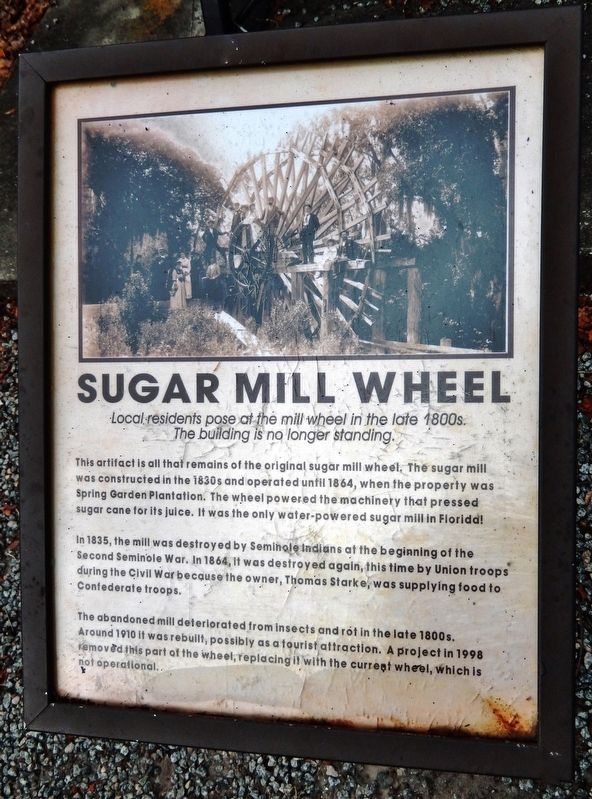
In 1835, the mill was destroyed by Seminole Indians at the beginning of the Second Seminole War. In 1864, it was destroyed again, this time by Union troops during the Civil War because the owner, Thomas Starke, was supplying food to Confederate troops.
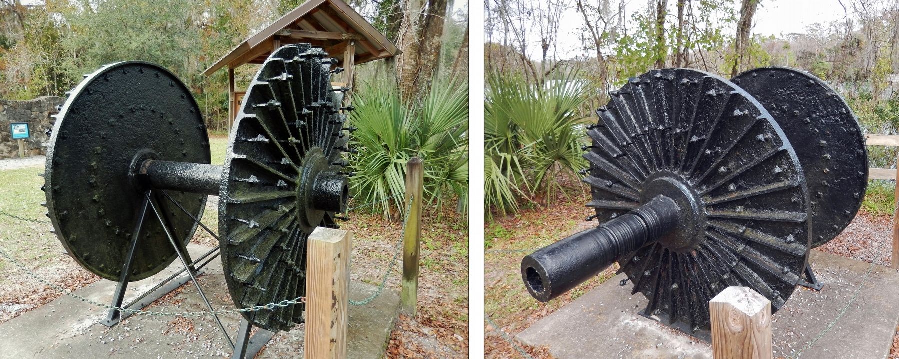
The abandoned mill deteriorated from insects and rot in the late 1800s. Around 1910 it was rebuilt, possibly as a tourist attraction. A project in 1998 removed this part of the wheel, replacing it with the current wheel, which is not operational.
Topics. This historical marker is listed in these topic lists: Agriculture • Industry & Commerce • War, US Civil • Wars, US Indian. A significant historical year for this entry is 1830.
Location. 29° 8.044′ N, 81° 21.807′ W. Marker is in De Leon Springs, Florida, in Volusia County. It can be reached from the intersection
this page online

Regionally, this marker is in Florida’s First Coast. It is also in the American South and on the Eastern Seaboard. Globally, it is in the North Atlantic Region, North America, a Gulf of Mexico state, the Western Hemisphere, the Western World, and the Anglosphere. Historically, it finds itself in what was once New Spain, the territory of the Mississippian Culture, one of the Confederate States of America, and the Antebellum South.
Other nearby markers. At least 8 other markers are within walking distance of this marker: Who Built the Sugar Mill? (a few steps from this marker); Ponce De Leon Springs (a few steps from this marker); The Fountain of Youth (a few steps from this marker); Sugar Mill Machinery (a few steps from this marker); The Hotel Clubhouse (within shouting distance of this marker); De Leon Springs Becomes a State Park
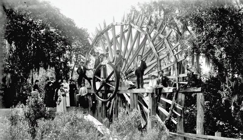
2. Marker detail: Sugar Mill Wheel
The building is no longer standing.
Related markers. Click here for a list of markers that are related to this marker. Spring Garden Plantation Sugar Mill
Also see . . . Old Spanish Sugar Mill.
Park lore has it that the Spanish here erected an actual sugar mill in 1570, a site dramatically destroyed and rebuilt in both the Seminole and Civil Wars before being finally rebuilt as the structure it is today. Fact-beholden park rangers will tell you, however, the land was once a sugar plantation and that the building came up in 1900. At any rate, in 1961, mill-enthusiast Peter Schwarze bought the property and raised the mill to either its former or newfound glory, depending on your interpretation.(Submitted on December 30, 2021, by Cosmos Mariner of Cape Canaveral, Florida.)
Photographed by Cosmos Mariner, December 15, 2021
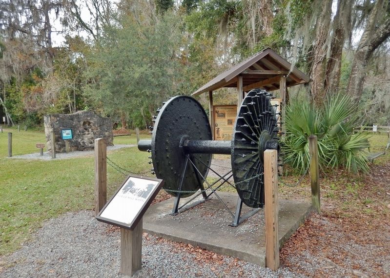
3. Sugar Mill Wheel Marker
Photographed by Cosmos Mariner, December 15, 2021
4. Sugar Mill Wheel
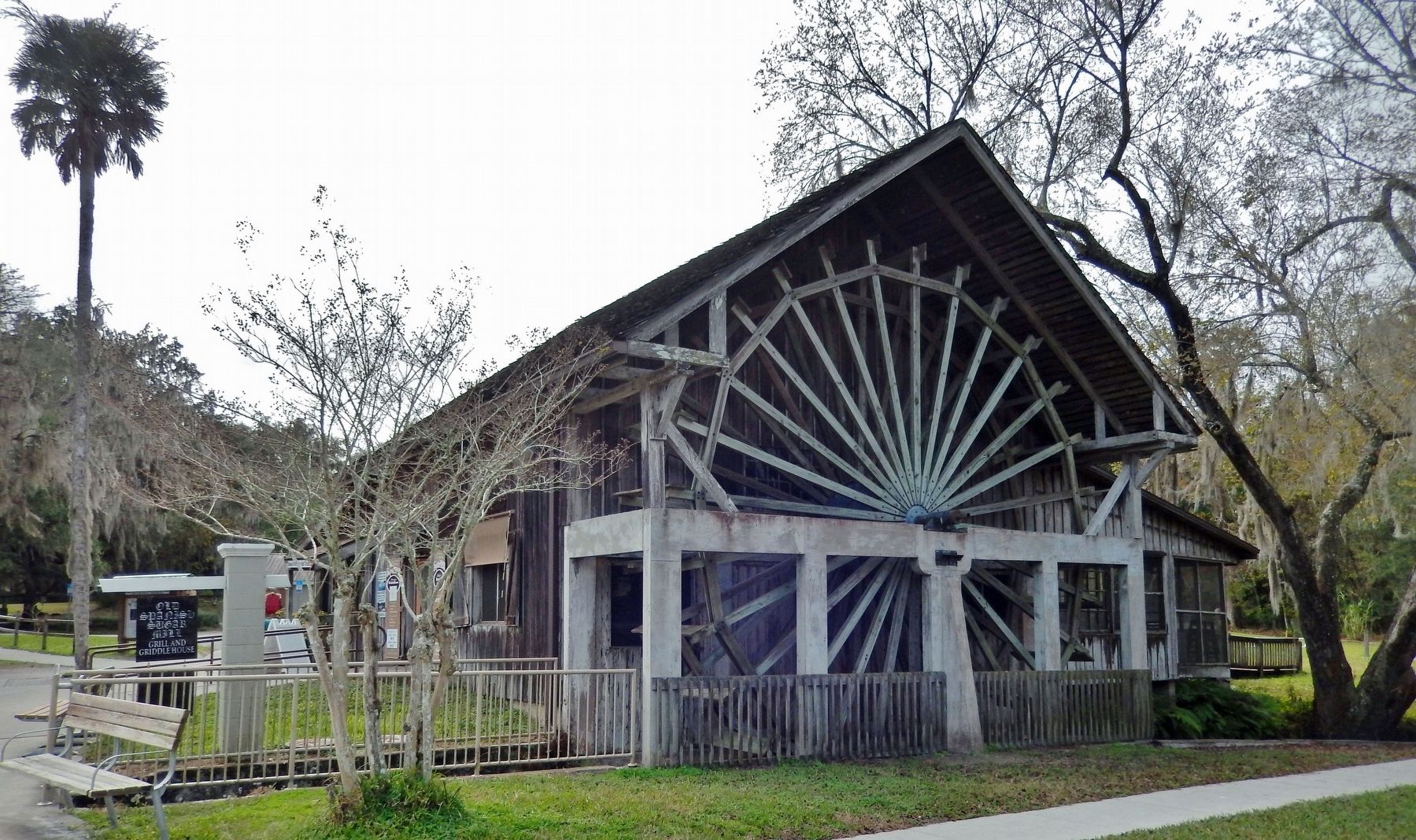
Photographed by Cosmos Mariner, December 15, 2021
5. "The Old Spanish Sugar Mill"
Credits. This page was last revised on March 13, 2026. It was originally submitted on December 30, 2021, by Cosmos Mariner of Cape Canaveral, Florida. This page has been viewed 619 times since then and 67 times this year. Photos: 1, 2, 3, 4, 5. submitted on December 30, 2021, by Cosmos Mariner of Cape Canaveral, Florida.
