Uvalde in Uvalde County, Texas — The American South (West South Central)
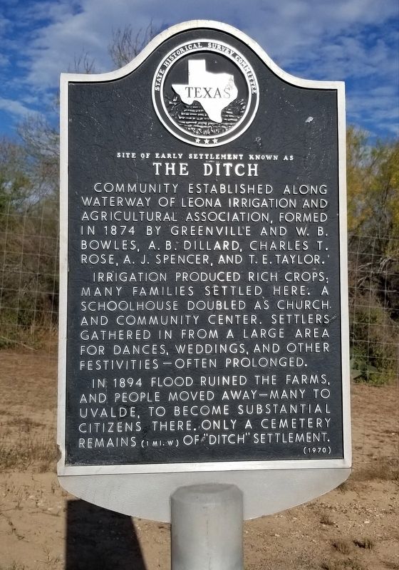
Site of Early Settlement Known as The Ditch
Inscription.
Community established along waterway of Leona Irrigation and Agricultural Association, formed in 1874 by Greenville and W.B. Bowles, A.B. Dillard, Charles t. Rose, A.J. Spencer, and T.E. Taylor.
Irrigation produced rich crops; many families settled here. A schoolhouse doubled as church and community center. Settlers gathered in from a large area for dances, weddings, and other festivities - often prolonged.
In 1894 flood ruined the farms, and people moved away - many to Uvalde, to become substantial citizens there. Only a cemetery remains (1 Mi. W) of "Ditch" settlement.
Erected 1970 by State Historical Survey Committee. (Marker Number 5322.)
Topics. This historical marker is listed in these topic lists: Agriculture • Cemeteries & Burial Sites • Settlements & Settlers • Waterways & Vessels. A significant historical year for this entry is 1874.
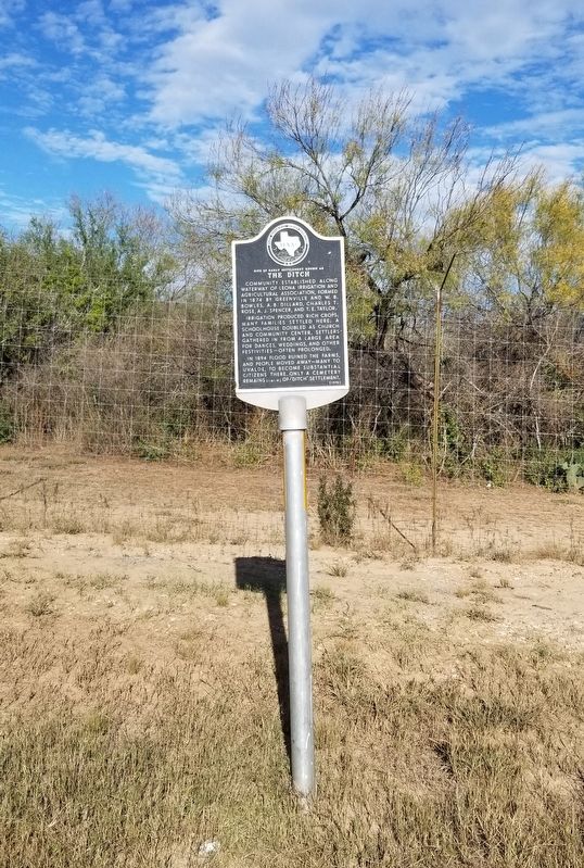
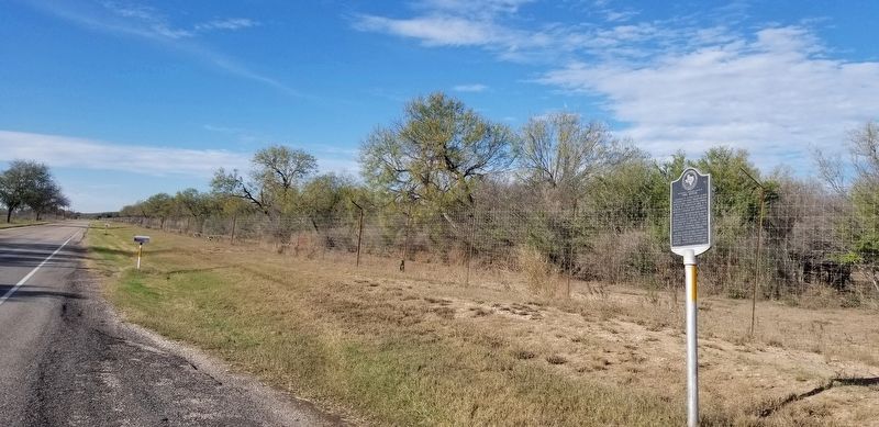
Location. 29° 8.681′ N, 99° 42.15′ W. Marker is in Uvalde, Texas, in Uvalde County. Marker is on Pearsall Road (State Highway 140) 0.4 miles south of County Highway 368A, on the left when traveling south. The marker is located along the highway with a small pullout. Touch for map. Marker is at or near this postal address: 5734 Pearsall Road, Uvalde TX 78801, United States of America. Touch for directions.
Other nearby markers. At least 8 other markers are within 6 miles of this marker, measured as the crow flies. Drawing of Fort Inge from this point of view (approx. 4˝ miles away); Brush Arbor with Tents (approx. 4˝ miles away); Site of Fort Inge (approx. 4˝ miles away); Barracks for the Soldiers (approx. 4˝ miles away); Fort Wall (approx. 4˝ miles away); Hospital and Commissary (approx. 4˝ miles away); Picket Quartermaster Storehouse (approx. 4˝ miles away); Garner Army Air Field (approx. 5.7 miles away). Touch for a list and map of all markers in Uvalde.
Credits. This page was last revised on January 2, 2022. It was originally submitted on January 2, 2022, by James Hulse of Medina, Texas. This page has been viewed 264 times since then and 43 times this year. Photos: 1, 2, 3. submitted on January 2, 2022, by James Hulse of Medina, Texas.


