Benwood in Marshall County, West Virginia — The American South (Appalachia)
Marshall County / Ohio County
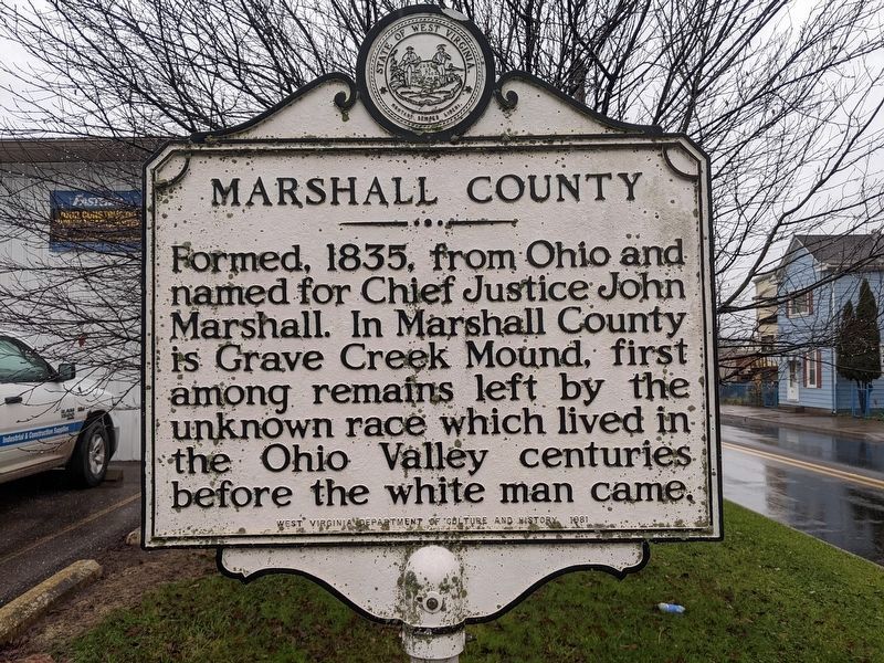
Marshall County. Formed in 1835 from Ohio. Named for Chief Justice John Marshall. In Marshall County is Grave Creek Mound, first among remains left by the unknown race which lived in the Ohio Valley centuries before the white man came.
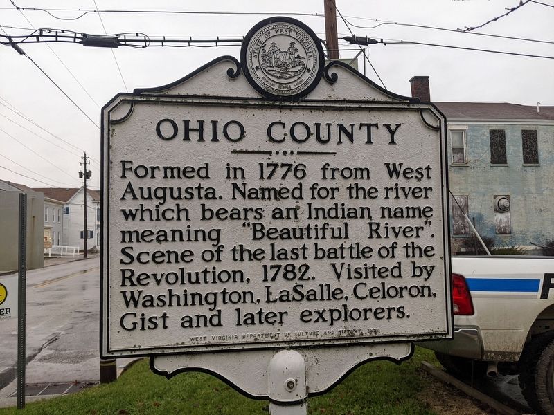
Ohio County. Formed in 1776 from West Augusta. Named for the river which bears an Indian name meaning "Beautiful River." Scene of last battle of the Revolution, 1782. Visited by Washington, La Salle, Celoron, Gist and later explorers.
Erected 1981 by West Virginia Department of Culture and History.
Topics and series. This historical marker is listed in these topic lists: Anthropology & Archaeology • Native Americans • Political Subdivisions • Waterways & Vessels. In addition, it is included in the West Virginia Archives and History series list. A significant historical year for this entry is 1835.
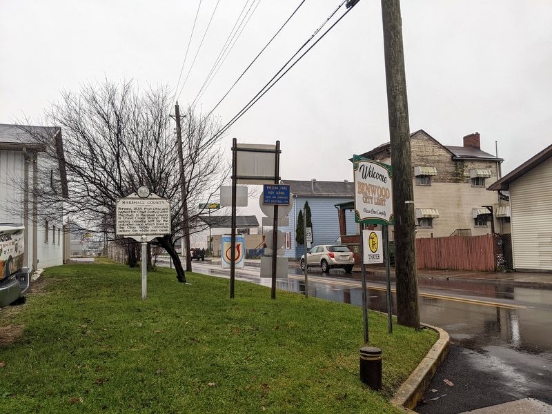
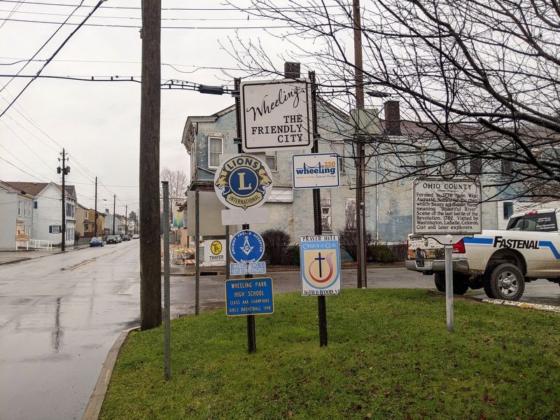
Location. 40° 1.969′ N, 80° 43.623′ W. Marker is in Benwood, West Virginia, in Marshall County. Marker is at the intersection of Marshall Street North and 48th Street, on the right when traveling north on Marshall Street North. Touch for map. Marker is in this post office area: Benwood WV 26031, United States of America. Touch for directions.
Other nearby markers. At least 8 other markers are within 2 miles of this marker, measured as the crow flies. A different marker also named Marshall County / Ohio County (about 700 feet away, measured in a direct line); Mail Pouch Tobacco (approx. 0.6 miles away); Wheeling High School World War II Memorial (approx. one mile away); South Side World Wars Memorial (approx. 1.1 miles away); Schramm's Corner (approx. 1.3 miles away in Ohio); Bellaire High School Clock Tower / Central School Clock Tower and Bell (approx. 1.4 miles away in Ohio); Union Square and its Uses / The Question of Ownership (approx. 1.4 miles away in Ohio); Civil War Memorial (approx. 1.4 miles away in Ohio).
Additional keywords. Adena peoples
Credits. This page was last revised on January 3, 2022. It was originally submitted on January 3, 2022, by Mike Wintermantel of Pittsburgh, Pennsylvania. This page has been viewed 280 times since then and 42 times this year. Photos: 1, 2, 3, 4. submitted on January 3, 2022, by Mike Wintermantel of Pittsburgh, Pennsylvania.


