Chiefland in Levy County, Florida — The American South (South Atlantic)
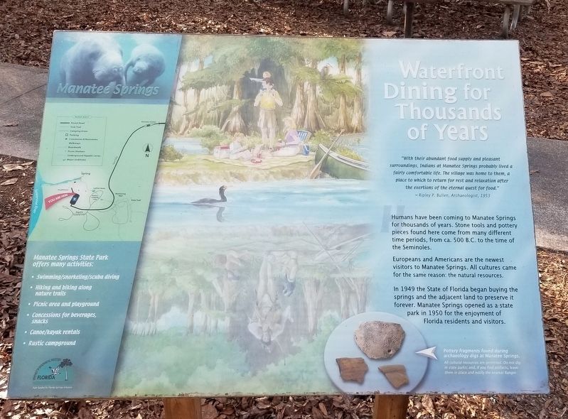
Waterfront Dining for Thousands of Years
Manatee Springs
surroundings, Indians at Manatee Springs probably lived a
fairly comfortable life. The village was home to them, a
place to which to return for rest and relaxation after
the exertions of the eternal quest for food."
~Ripley P. Bullen, Archaeologist, 1953
Humans have been coming to Manatee Springs for thousands of years. Stone tools and pottery pieces found here come from many different time periods, from ca. 500 B.C. to the time of the Seminoles.
Europeans and Americans are the newest visitors to Manatee Springs. All cultures came for the same reason: the natural resources.
In 1949 the State of Florida began buying the springs and the adjacent land to preserve it forever. Manatee Springs opened as a state park in 1950 for the enjoyment of Florida residents and visitors.
Captions
Lower Right: Pottery fragments found during archaeology digs at Manatee Springs.
All cultural resources are protected. Do not dig in state parks; and, if you find artifacts, leave them in place and notify the nearest Ranger.
Manatee Springs State Park offers many activities:
• Swimming/snorkeling/scuba diving
• Hiking and biking along nature trails
• Picnic area and playground
• Concessions for beverages, snacks
• Canoe/kayak rentals
• Rustic campground
Erected by Florida Department of Environmental Protection, Florida Springs Initiative and Manatee Springs State Park.
Topics. This historical marker is listed in these topic lists: Animals • Anthropology & Archaeology • Native Americans • Parks & Recreational Areas. A significant historical year for this entry is 1953.
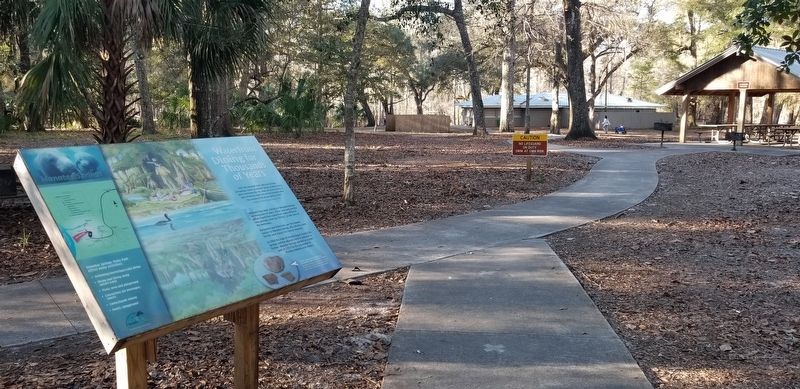
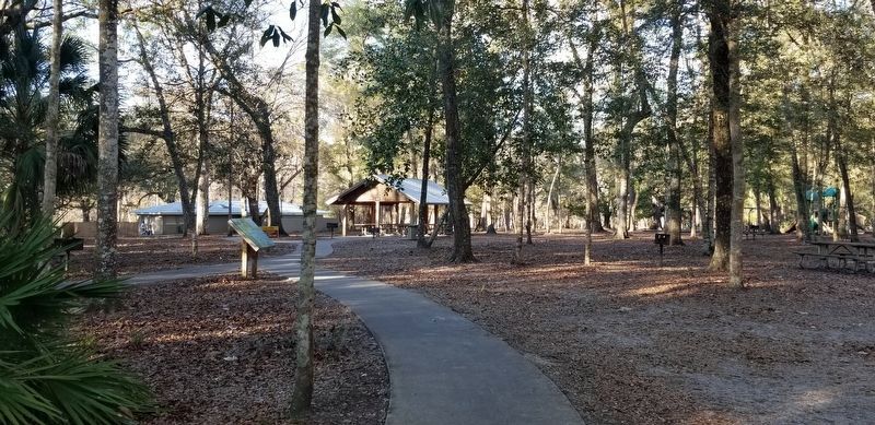
Location. 29° 29.309′ N, 82° 58.617′ W. Marker is in Chiefland, Florida, in Levy County. Marker can be reached from NW 115th Street (U.S. 320) half a mile west of North Young Boulevard (U.S. 98) when traveling west. The marker is located 100 feet north of the Manatee Springs parking lot on the walking trail to the springs. Touch for map. Marker is at or near this postal address: 11650 NW 115th Street, Chiefland FL 32626, United States of America. Touch for directions.
Other nearby markers. At least 8 other markers are within 13 miles of this marker, measured as the crow flies. Manatee Spring (about 300 feet away, measured in a direct line); Sink Trail (approx. 0.2 miles away); Old Town School (approx. 7.1 miles away); Fanning Springs Bridge (approx. 7½ miles away); Steamboat "City of Hawkinsville" (approx. 7½ miles away); The History of Fort Fanning (approx. 7½ miles
away); Oldtown (approx. 7.9 miles away); John Franklin Beach, Sr. (approx. 12.8 miles away). Touch for a list and map of all markers in Chiefland.
More about this marker. The marker is located inside the Manatee Springs State Park and does require a small entrance fee to view the springs and marker.
Also see . . . Manatee Springs State Park.
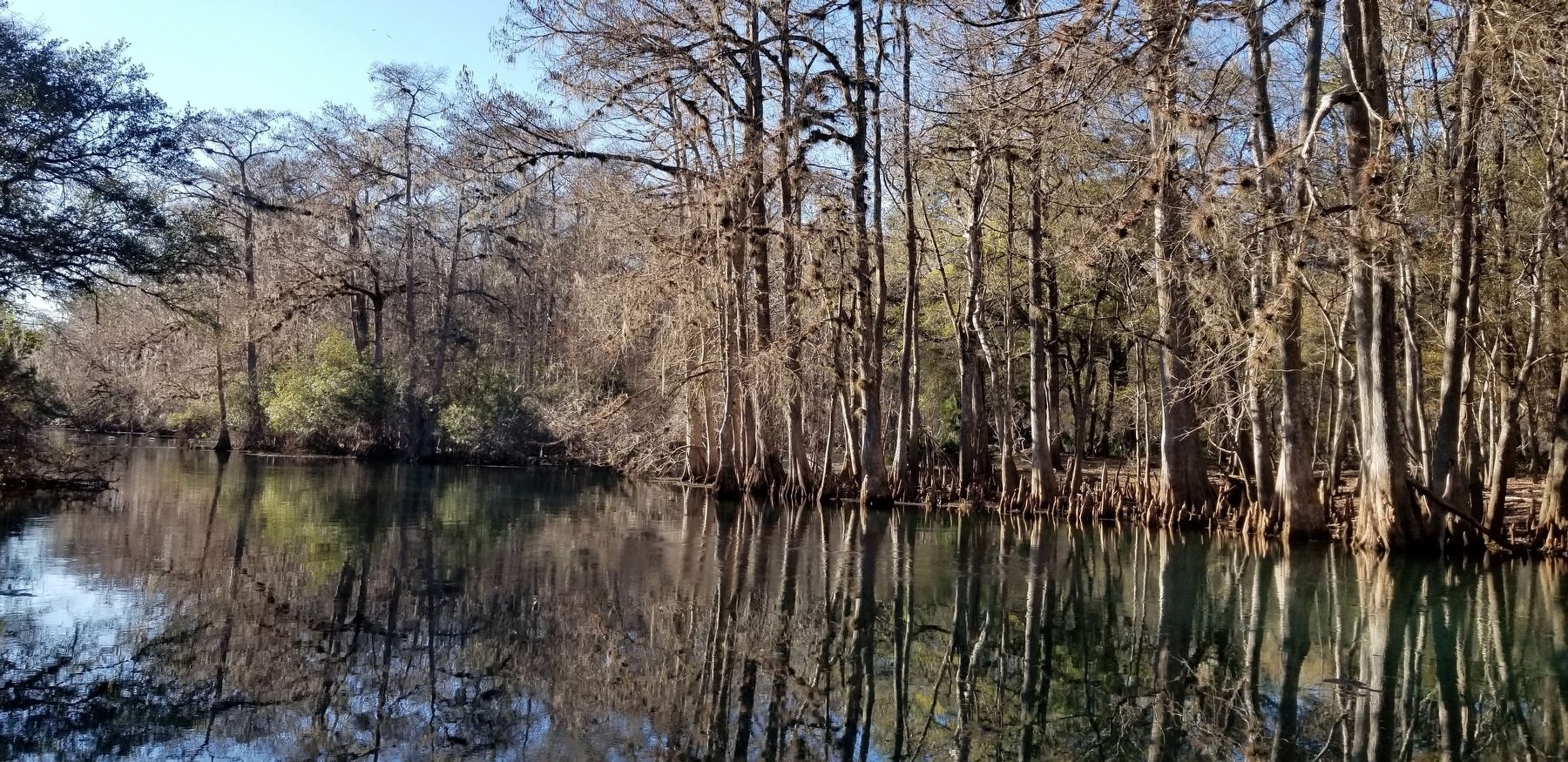
Manatee Springs State Park is a Florida State Park located six miles west of Chiefland on SR 320, off US 19. Manatee Spring is a first magnitude spring that flows directly into the Suwannee River by way of a short run (though it is the longest spring run feeding the Suwannee River). Present also are swamps and hardwood wetlands along the Suwannee, along with many sinkhole ponds, including one with a cave 90 feet below the ground that connects to a popular divers' destination known as the catfish hotel. Source: Wikipedia(Submitted on January 28, 2022, by James Hulse of Medina, Texas.)
Credits. This page was last revised on January 28, 2022. It was originally submitted on January 28, 2022, by James Hulse of Medina, Texas. This page has been viewed 200 times since then and 16 times this year. Photos: 1, 2, 3, 4. submitted on January 28, 2022, by James Hulse of Medina, Texas.


