Chiefland in Levy County, Florida — The American South (South Atlantic)
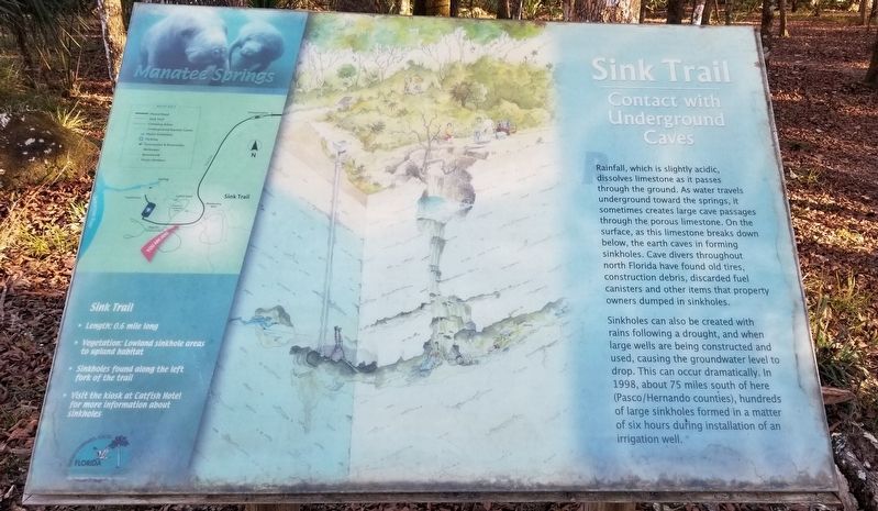
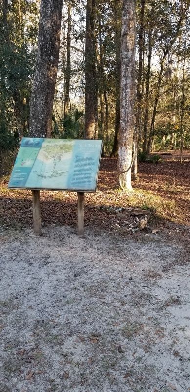
Sink Trail
Manatee Springs
— Contact with Underground Caves —
Sinkholes can also be created with rains following a drought, and when large wells are being constructed and used, causing the groundwater level to drop. This can occur dramatically. In 1998, about 75 miles south of here (Pasco/Hernando counties), hundreds of large sinkholes formed in a matter of six hours during installation of an irrigation well.
Sink Trail
• Length: 0.6 mile long
• Vegetation: Lowland sinkhole areas to upland habitat
• Sinkholes found along the left fork of the trail
• Visit the kiosk at Catfish Hotel for more information about sinkholes
Erected by Florida Department of Environmental Protection, Florida Springs Initiative and Manatee Springs State Park.
Topics. This historical marker is listed in these topic lists: Environment • Parks & Recreational Areas • Science & Medicine • Waterways & Vessels. A significant historical year for this entry is 1998.
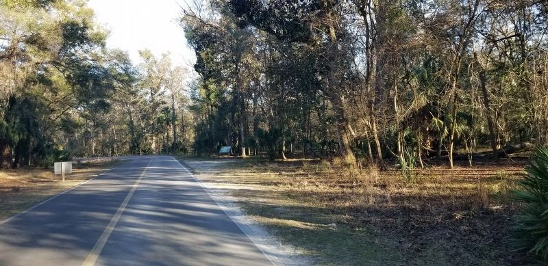
Location. 29° 29.191′ N, 82° 58.485′ W. Marker is in Chiefland, Florida, in Levy County. Marker can be reached from NW 115th Street (Florida Route 320) half a mile west of U.S. 98. The marker is located 500 feet east of the Manatee Springs parking lot along the park road. Touch for map. Marker is at or near this postal address: 11650 NW 115th Street, Chiefland FL 32626, United States of America. Touch for directions.
Other nearby markers. At least 8 other markers are within 13 miles of this marker, measured as the crow flies. Waterfront Dining for Thousands of Years (approx. 0.2 miles away); Manatee Spring (approx. ¼ mile away); Old Town School (approx. 7.2 miles away); Fanning Springs Bridge (approx. 7½ miles away); Steamboat "City of Hawkinsville" (approx. 7.6 miles away); The History of Fort Fanning (approx. 7.6 miles away); Oldtown (approx. 8 miles away); John Franklin Beach, Sr. (approx. 12.8 miles away). Touch for a list and map of all markers in Chiefland.
More about this marker. The marker is located inside the Manatee Springs State Park and does require a small entrance fee to view the springs and marker.
Additional commentary.
1. Environmental impact
This marker qualifies for the database because of the example of the impact to the environment by humans.
— Submitted January 31, 2022, by James Hulse of Medina, Texas.
Credits. This page was last revised on January 31, 2022. It was originally submitted on January 28, 2022, by James Hulse of Medina, Texas. This page has been viewed 122 times since then and 14 times this year. Photos: 1, 2, 3. submitted on January 28, 2022, by James Hulse of Medina, Texas.


