Hayes in Gloucester County, Virginia — The American South (Mid-Atlantic)
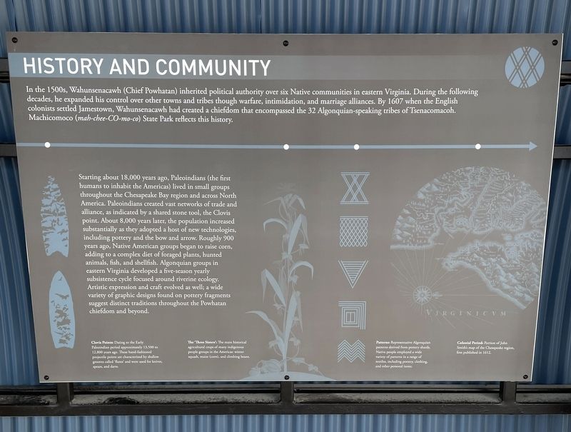
History and Community
Machicomoco State Park
Starting about 18,000 years ago, Paleoindians (the first humans to inhabit the Americas) lived in small groups throughout the Chesapeake Bay region and across North America. Paleoindians created vast networks of trade and alliance, as indicated by a shared stone tool, the Clovis point. About 8,000 years later, the population increased substantially as they adopted a host of new technologies, including pottery and the bow and arrow. Roughly 900 years ago, Native American groups began to raise corn, adding to a complex diet of foraged plants, hunted animals, fish and shellfish. Algonquian groups in eastern Virginia developed a five-season yearly subsistence cycle focused around riverine ecology. Artistic expression and craft evolved as well; a wide variety of graphic designs found on pottery fragments suggest distinct traditions throughout the Powhatan chiefdom and beyond.
(captions)
Clovis Points: Dating to the early Paleoindians period approximately 13,500 to 12,800 years ago. These hand-fashioned projectile points are characterized by shallow grooves called ‘flutes’ and were used for knives, spears, and darts.
The ‘Three Sisters’: The main historical agricultural crops of many indigenous people groups in the Americas: winter squash, maize (corn), and climbing beans.
Patterns: Representative Algonquian patterns derived from pottery shards. Native people employed a wide variety of patterns in a range of textiles, including pottery, clothing, and other personal items.
Colonial Period: Portion of John Smith’s map of the Chesapeake region, first published in 1612.
Erected 2021.
Topics. This historical marker is listed in these topic lists: Anthropology & Archaeology • Colonial Era • Native Americans.
Location. 37° 17.893′ N, 76° 32.199′ W. Marker is in Hayes, Virginia, in Gloucester County. Marker can be reached from Blackberry Circle south of Timberneck Farm Road (Virginia Route 1324), on the right when traveling east. Located on the grounds of Machicomoco State Park. Touch for map. Marker is at or near this postal address: 3601 Timberneck Farm Road, Hayes VA 23072, United States of America. Touch for directions.
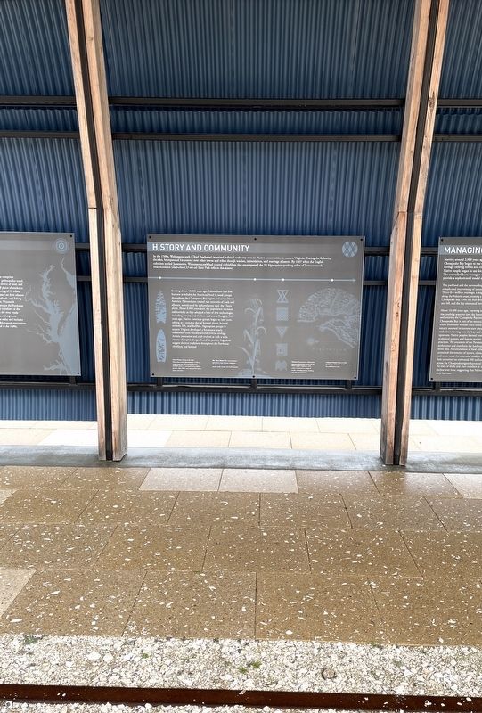
Other nearby markers. At least 8 other markers are within walking distance of this marker. The Algonquian Landscape (here, next to this marker); Managing a Dynamic Landscape (here, next to this marker); Peacemaking and Mobility (here, next to this marker); Authority and Ceremony (a few steps from this marker); Persistence (a few steps from this marker); Timberneck House Renovation at Machicomoco State Park (about 300 feet away, measured in a direct line); Early Timberneck Graveyard (about 300 feet away); Powhatan’s Chimney (approx. half a mile away). Touch for a list and map of all markers in Hayes.
Also see . . .
1. Virginia’s Machicomoco State Park—A “Special Meeting Place”. (Submitted on February 12, 2022, by Brandon D Cross of Flagler Beach, Florida.)
2. Machicomoco State Park. Virginia Department of Conservation and Recreation (Submitted on February 13, 2022.)
Credits. This page was last revised on February 16, 2022. It was originally submitted on February 12, 2022, by Brandon D Cross of Flagler Beach, Florida. This page has been viewed 93 times since then and 14 times this year. Photos: 1, 2. submitted on February 12, 2022, by Brandon D Cross of Flagler Beach, Florida. • Bernard Fisher was the editor who published this page.

