Midtown - Downtown in Columbia in Richland County, South Carolina — The American South (South Atlantic)
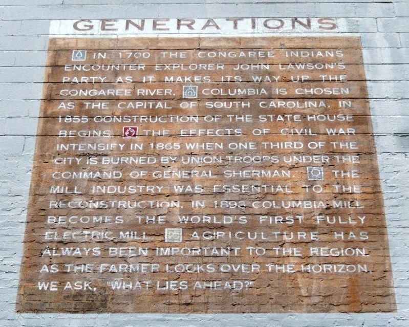
Generations
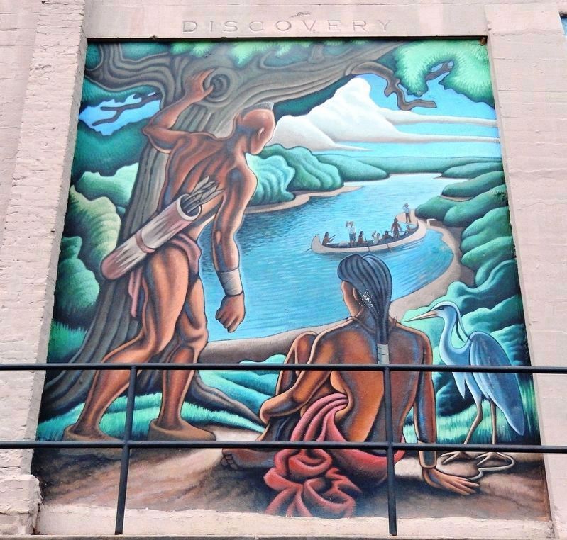
• In 1700 the Congaree Indians encounter explorer John Lawson’s party as it makes its way up the Congaree River.
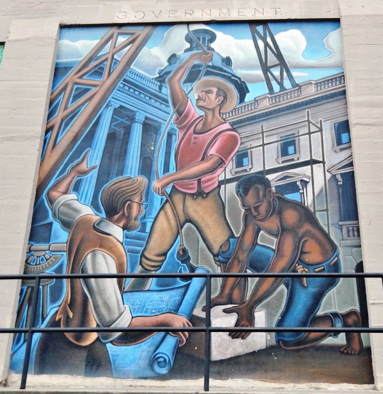
• Columbia is chosen as the capital of South Carolina. In 1855 construction of the State House begins.
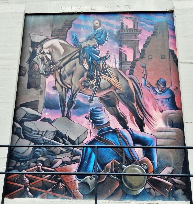
• The effects of Civil War intensify in 1865 when one third of the city is burned by Union troops under the command of General Sherman.
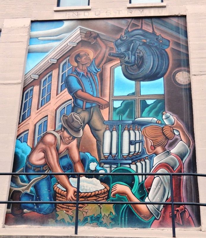
• The mill industry was essential to the reconstruction. In 1893 Columbia Mill becomes the world’s first fully electric mill.
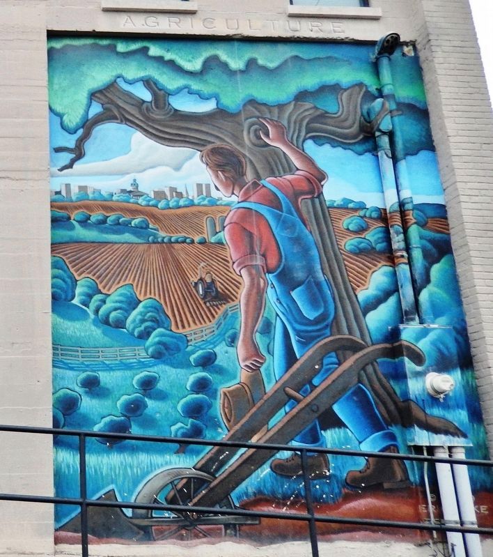
• Agriculture has always been important to the region. As the farmer looks over the horizon, we ask, “What lies ahead?”
Topics. This historical marker is listed in these topic lists: Agriculture • Industry & Commerce • Native Americans • War, US Civil.
Location. 33° 59.966′ N, 81° 2.221′ W. Marker is in Columbia, South Carolina, in Richland County. It is in Midtown - Downtown. Marker can be reached from Park Street just south of Gervais Street (U.S. 1), on the right when traveling south. Touch for map. Marker is at or near this postal address: 1121 Park Street, Columbia SC 29201, United States of America. Touch for directions.
Other nearby markers. At least 8 other markers are within walking distance of this marker. 1001 Gervais Street (about 300 feet away, measured in a direct line); Congaree Vista (about 400 feet away); 9 -11 / First Responders (about 500 feet away); Seaboard Air-Line Railway Station #1 (about 500 feet away); Lincoln Street (about 500 feet away); Seaboard Air-Line Railway Station #2 (about 600 feet away); Assembly Street (about 600 feet away); J. Marion Sims (about 700 feet away). Touch for a list and map of all markers in Columbia.
More about this marker. Marker comprises six full-length murals across the south façade of the building at this address.
Credits. This page was last revised on February 16, 2023. It was originally submitted on March 5, 2022, by Cosmos Mariner of Cape Canaveral, Florida. This page has been viewed 286 times since then and 32 times this year. Photos: 1, 2, 3, 4, 5, 6. submitted on March 5, 2022, by Cosmos Mariner of Cape Canaveral, Florida.
