Mechanicsburg in Hampshire County, West Virginia — The American South (Appalachia)
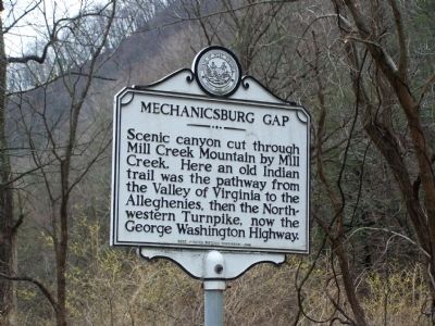
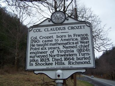
Mechanicsburg Gap / Col. Claudius Crozet
Erected 1983 by West Virginia Historic Commission.
Topics and series. This historical marker is listed in these topic lists: Education • Native Americans • Roads & Vehicles • Science & Medicine. In addition, it is included in the West Virginia Archives and History series list. A significant historical year for this entry is 1790.
Location. 39° 19.911′ N, 78° 48.285′ W. Marker is in Mechanicsburg, West Virginia, in Hampshire County. Marker is on U.S. 50. Touch for map. Marker is in this post office area: Burlington WV 26710, United States of America. Touch for directions.
Other nearby markers. At least 8 other markers are within walking distance of this marker. Fort Mill Ridge Trenches (approx. 0.6 miles away); Control of the Mechanicsburg Gap (approx. 0.8 miles away); Abandonment of Fort Mill Ridge (approx. 0.8 miles away); The Civil War in the South Branch Valley (approx. 0.8 miles away); Construction of Fort Mill Ridge (approx. 0.8 miles away); Fort Mill Ridge (approx. 0.8 miles away); Oriskany Sand (approx. 0.8 miles away); The Central Redoubt (approx. 0.8 miles away). Touch for a list and map of all markers in Mechanicsburg.
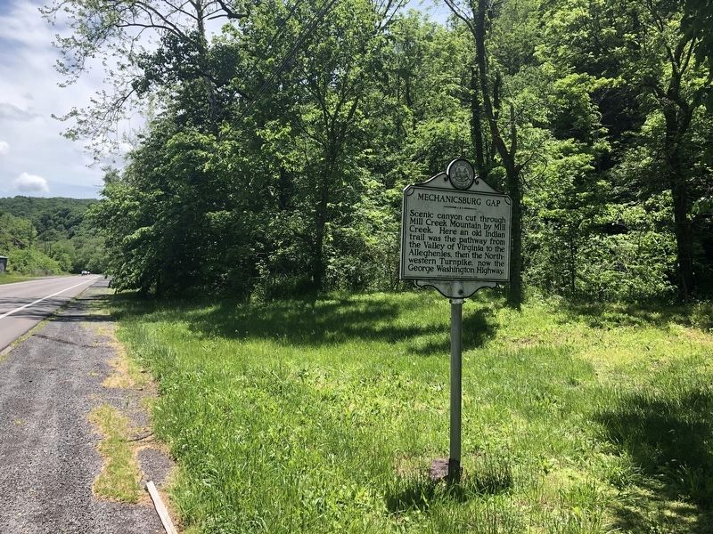
Photographed By Devry Becker Jones (CC0), May 28, 2020
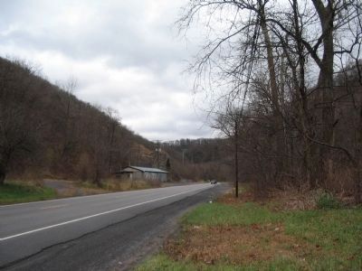
3. Mechanicsburg Gap / Col. Claudius Crozet Marker
Credits. This page was last revised on June 8, 2020. It was originally submitted on May 25, 2009, by Bill Pfingsten of Bel Air, Maryland. This page has been viewed 1,253 times since then and 15 times this year. Photos: 1, 2. submitted on May 25, 2009, by Bill Pfingsten of Bel Air, Maryland. 3. submitted on May 29, 2020, by Devry Becker Jones of Washington, District of Columbia. 4, 5. submitted on December 3, 2009, by Craig Swain of Leesburg, Virginia.
