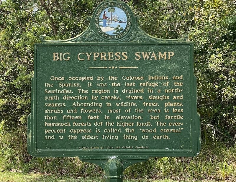
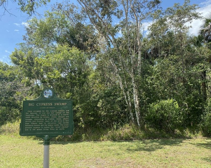
Near Naples in Collier County, Florida — The American South (South Atlantic)
Big Cypress Swamp
Erected 1980 by Florida Board of Parks and Historic Memorials. (Marker Number F-87.)
Topics. This historical marker is listed in these topic lists: Environment • Native Americans • Parks & Recreational Areas.
Location. 25° 59.503′ N, 81° 35.557′ W. Marker is near Naples, Florida, in Collier County. Marker can be reached from Tamiami Trail East (U.S. 41) just south of San Marco Road (County Route 92), on the right when traveling south. located in Collier-Seminole State Park. Touch for map. Marker is at or near this postal address: 20200 Tamiami Trail E, Naples FL 34114, United States of America. Touch for directions.
Other nearby markers. At least 8 other markers are within 16 miles of this marker, measured as the crow flies. Bay City Walking Dredge (within shouting distance of this marker); How the Dredge Walks (within shouting distance of this marker); This Bay City Walking Wedge (within shouting distance of this marker); The Walking Dredge (within shouting distance of this marker); Bay City Walking Dredge No. 489 (within shouting distance of this marker); The Blockhouse (approx. 0.2 miles away); Crayton Cove (approx. 15.9 miles away); The Naples Canal (approx. 15.9 miles away). Touch for a list and map of all markers in Naples.
Also see . . . Collier-Seminole State Park. (Submitted on April 5, 2022.)
Credits. This page was last revised on April 6, 2022. It was originally submitted on April 4, 2022, by Steve Stoessel of Niskayuna, New York. This page has been viewed 126 times since then and 12 times this year. Last updated on April 5, 2022, by Steve Stoessel of Niskayuna, New York. Photos: 1, 2. submitted on April 4, 2022, by Steve Stoessel of Niskayuna, New York. • Bernard Fisher was the editor who published this page.

