Near Leesburg in Loudoun County, Virginia — The American South (Mid-Atlantic)
The Enslaved at Oatlands
Passing on Dreams of Freedom to Their Descendants
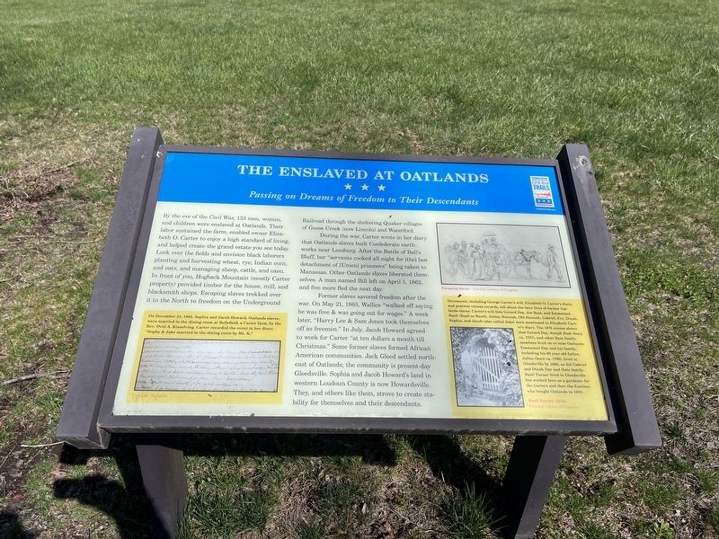
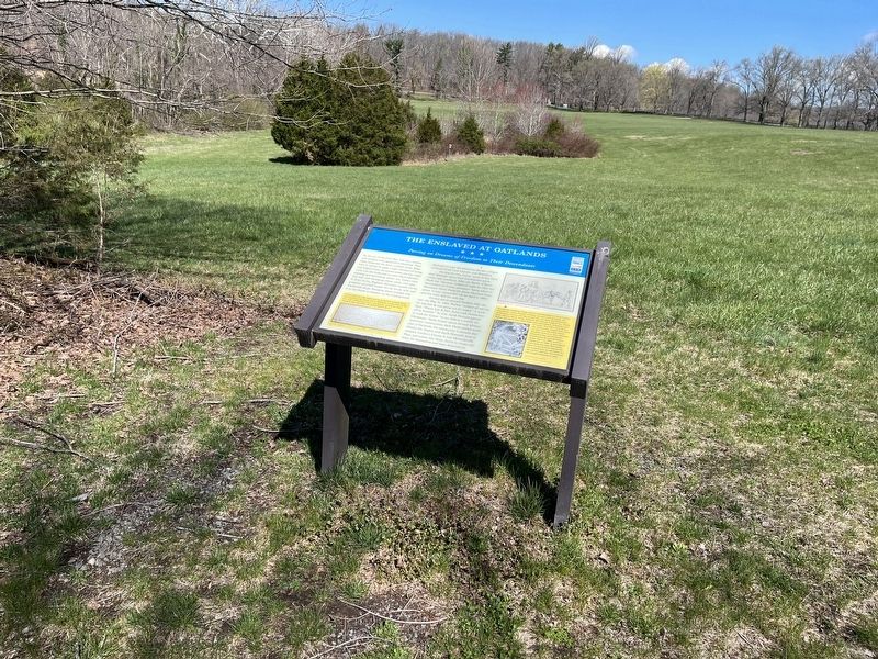
By the eve of the Civil War, 133 men, women and children were enslaved at Oatlands. Their labor sustained the farm, enabled owner Elizabeth O. Carter to enjoy a high standard of living, and helped create the grand estate you see today. Look over the fields and envision black laborers planting and harvesting wheat, rye, Indian corn, and oats, and managing sheep, cattle, and oxen. In front of you, Hogback Mountain (mostly Carter property) provided timber for the house, mill and blacksmith shops. Escaping slaves trekked over it to the north to freedom on the Underground Railroad through the sheltering Quaker villages of Goose Creek (now Lincoln) and Waterford.
During the war, Carter wrote in her diary that Oatlands slaves built Confederate earthworks near Leesburg. After the Battle of Ball's Bluff, her "servants cooked all night for [the] last detachment of [Union prisoners" being taken to Manassas. Other Oatlands slaves liberated themselves. A man named Bill left on April 1, 1862, and five more fled the next day.
Former slaves savored freedom after the war. On May 21, 1865, Wallice "walked off saying he was free & was going out for wages." A week later, "Harry Lee & Sam Jones took themselves off as freemen." In July, Jacob Howard agreed to work for Carter "at ten dollars a month til Christmas." Some former slaves formed African American communities. Jack Gleed settled northeast of Oatlands; the community is present-day Gleedsville. Sophia and Jacob Howard's land in western Loudoun County is now Howardsville. They and others like them strove to create stability for themselves and their descendants.
[Captions:]
On December 24, 1862, Sophia and Jacob Howard, Oatlands slaves, were married in the dining room at Bellefield, a Carter farm, by the Rev. Ovid A. Kinsolving. Carter recorded the event in her diary: "Sophy & Jake married in the dining room by Mr. K."
Documents, including George Carter's will, Elizabeth O. Carter's diary, and postwar census records, tell about the later lives of former Oatlands slaves. Carter's will lists Gerard Day, Joe Rust, and Emmanuel. Bazil (Basil or Bazel), Julius, Hanna, Old Hanna, Gabriel, Eve, Dinah, Sophia, and Jacob (also called Jake) were mentioned in Elizabeth Carter's diary. The 1870 census shows that Gerard Day, Joseph Rust (born ca. 1797), and other Rust family members lived on or near Oatlands. Emmanuel Day and his family, including his 90 year-old-father, Julius (born ca. 1790), lived in Gleedsville by 1880, as did Gabriel and Dinah Day and their family. Bazil Turner lived in Gleedsville but worked here as a gardener for the Carters and then the Eustises, who bought Oatlands in 1903.
Erected by
Topics and series. This historical marker is listed in these topic lists: Abolition & Underground RR • African Americans • Settlements & Settlers • War, US Civil. In addition, it is included in the Quakerism, and the Virginia Civil War Trails series lists. A significant historical date for this entry is April 1, 1862.
Location. 39° 2.571′ N, 77° 37.14′ W. Marker is near Leesburg, Virginia, in Loudoun County. Marker is on Oatlands Plantation Lane, 0.3 miles south of James Monroe Highway (U.S. 13), on the right when traveling south. Touch for map. Marker is at or near this postal address: 20805 Oatlands Plantation Ln, Leesburg VA 20175, United States of America. Touch for directions.
Other nearby markers. At least 8 other markers are within walking distance of this marker. Oatlands (about 300 feet away, measured in a direct line); Welcome to Oatlands! (about 300 feet away); The Carriage House (about 300 feet away); The Bachelor's Cottage (approx. 0.2 miles away); The Greenhouse (approx. 0.2 miles away); Reclaim Your Story (approx. 0.2 miles away); The Garden Dependency (approx. 0.2 miles away); The Mansion (approx. 0.2 miles away). Touch for a list and map of all markers in Leesburg.
Credits. This page was last revised on April 9, 2022. It was originally submitted on April 9, 2022, by Devry Becker Jones of Washington, District of Columbia. This page has been viewed 299 times since then and 36 times this year. Photos: 1, 2. submitted on April 9, 2022, by Devry Becker Jones of Washington, District of Columbia.

