East Toledo in Lucas County, Ohio — The American Midwest (Great Lakes)
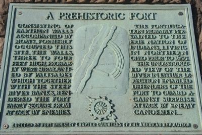
A Prehistoric Fort
Photographed by Dale K. Benington, December 23, 2009
1. A Prehistoric Fort Marker
The fortification probably pertained to the Erie Nation of Indians, living in northern Ohio prior to 1655.
The unobstructed view of the river in either direction enabled defenders of the fort to guard against surprise attack by enemy canoemen….
Erected by Fort Industry Chapter, Daughters of the American Revolution.
Topics and series. This historical marker is listed in these topic lists: Anthropology & Archaeology • Indigenous Peoples and Communities • Man-Made Features. In addition, it is included in the Daughters of the American Revolution (DAR) series list. A significant historical year for this entry is 1655.
Location. 41° 37.679′ N, 83° 31.789′ W. Marker is in Toledo, Ohio, in Lucas County. It is in East Toledo. It is at the intersection of Miami Street (Ohio Route 65) and Hathaway Street, on the right when traveling south on Miami
this page online

Regionally, this marker is on the Lake Erie Shore. It is also in the American Midwest and in the Corn Belt. Globally, it is in North America, on the Great Lakes, in the Western Hemisphere, in the Western World, and in the Anglosphere. Historically, it finds itself in what was once the Viceroyalty of New France, the Haudenosaunee (Iroquois) Confederacy, the territory of the Mississippian Culture, and the Northwest Territory.
Other nearby markers. At least 8 other markers are within one mile of this marker, measured as the crow flies: Land in High Demand / Treaty of Fort Industry (approx. 0.8 miles away); Ohio-Michigan War: A War Without Casualties / Canal Boom (approx. 0.8 miles away); Bigger, Better, Quicker, Faster! / The Glass City (approx. 0.8
Photographed by Dale K. Benington, December 23, 2009
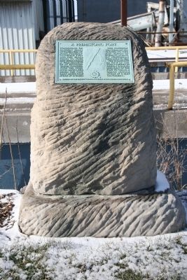
2. A Prehistoric Fort Marker
Related marker. Click here for another marker that is related to this marker. To better understand the relationship, study each marker in the order shown.
Photographed by Dale K. Benington, December 23, 2009
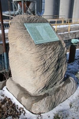
3. A Prehistoric Fort Marker
Photographed by Dale K. Benington, December 23, 2009
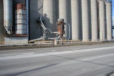
4. A Prehistoric Fort Marker
View of historical marker as seen looking northeast from across the street, with the riverside grain elevators in the background.
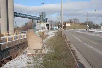
Photographed by Dale K. Benington, December 23, 2009
5. A Prehistoric Fort Marker
View of historical marker in the foreground, looking north up Miami Street (State Route 65).
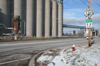
Photographed by Dale K. Benington, December 23, 2009
6. A Prehistoric Fort Marker
View of historical marker from across the street at the corner of Miami Street and Hathaway Street, with a view of not only the riverside grain elevator in the background, but of the Maumee River and downtown Toledo in the distant background.
Credits. This page was last revised on February 4, 2023. It was originally submitted on December 26, 2009, by Dale K. Benington of Toledo, Ohio. This page has been viewed 3,686 times since then and 73 times this year. Last updated on May 1, 2022, by Craig Doda of Napoleon, Ohio. Photos: 1, 2, 3, 4, 5, 6. submitted on December 26, 2009, by Dale K. Benington of Toledo, Ohio. • J. Makali Bruton was the editor who published this page.
