Dungannon in County Armagh, Northern Ireland, United Kingdom — Northwestern Europe (the British Isles)
Logboats
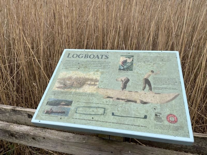
Logboats or dugout boats have been used for transport in Ireland since Mesolithic times (7000 BC - 4000 BC) and continued to be used for thousands of years well into the Late Medieval Period 16th and 17th centuries). They were made from hallowed out tree trunks, often oak. It was a relatively quick way to build a vessel and logboats were often large enough to transport livestock as well as humans.
Photo/Illustration captions
Logboats enabled small numbers of people, perhaps livestock and goods to make use of rivers and lakes when water presented an easier, quicker and safer alternative to traveling overland.
Well over 120 logboats or fragments of logboats have been found in Northern Ireland, most of these in the Lough Neagh and Erne basins. Some of the logboats discovered here were quite small and light enough to carry over short distances. However many were long and very heavy (the largest example found in Lower Lough Erne measuring 6.3 metres in length).
Hallowing out the inside of a tree trunk was the method used to make logboats, simply by chipping and hacking out the wood. In an experiment in 1959 conducted by the Ulster Museum, a 5 metre long logboat was constructed this way from a felled oak tree.
Topics. This historical marker is listed in these topic lists: Anthropology & Archaeology • Parks & Recreational Areas • Waterways & Vessels.
Location. 54° 29.138′ N, 6° 35.664′ W. Marker is in Dungannon, Northern Ireland, in County Armagh. Marker can be reached from Derryhubbert Road, half a kilometer Derrylileagh Road. Touch for map. Marker is at or near this postal address: 8 Derryhubbert Road, Dungannon, Northern Ireland BT71 6NW, United Kingdom. Touch for directions.
Other nearby markers. At least 8 other markers are within 16 kilometers of this marker, measured as the crow flies. Trackways (about 180 meters away, measured in a direct line); Derryadd Lake (approx. half a kilometer away); World Wars Memorial (approx. 7.7 kilometers away); R.J. Patterson (approx. 15.6 kilometers away); South African Campaign Memorial (approx. 15.6 kilometers away); John Nichol (approx. 15.6 kilometers away); Brian Boroimhe (Brian Boru) (approx. 15.8 kilometers away); St. Patrick's Cathedral Crypt (approx. 15.8 kilometers away). Touch for a list and map of all markers in Dungannon.
More about this marker. Marker can be accessed from the Derryladd Lough entrance to Peatlands Park.
Located about 2 miles along the Peatlands walk trail.
Credits. This page was last revised on September 7, 2022. It was originally submitted on May 1, 2022, by Cajun Scrambler of Assumption, Louisiana. This page has been viewed 68 times since then and 6 times this year. Photo 1. submitted on May 1, 2022, by Cajun Scrambler of Assumption, Louisiana.
Editor’s want-list for this marker. Wide shot of marker and surrounding area in context. • Can you help?
