Gilroy in Santa Clara County, California — The American West (Pacific Coastal)
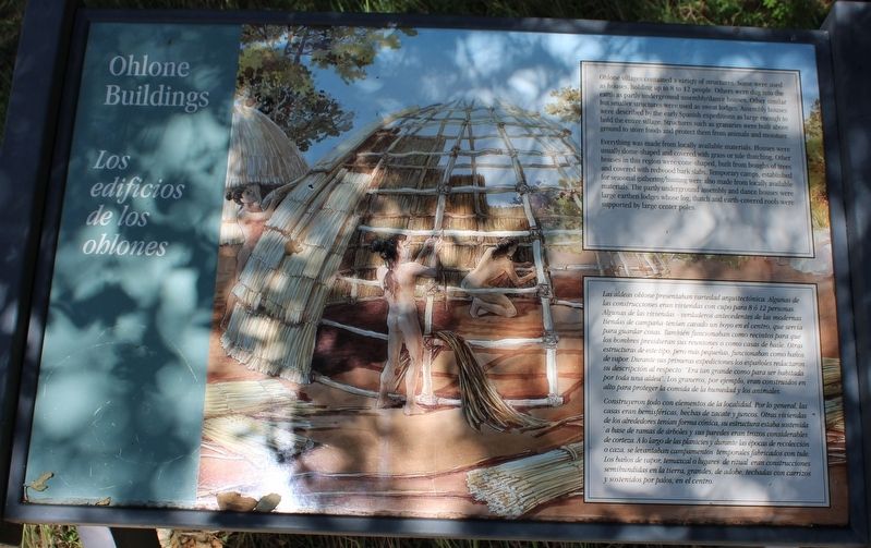
Ohlone Buildings
Los edificios de los ohlones
Ohlone villages contained a variety of structures. Some were used as houses, holding up to 8 to 12 people. Others were dug into the earth as partly underground assembly/dance houses. Other similar but smaller structures were used as sweat lodges. Assembly houses were described by the early Spanish expeditions as large enough to hold the entire village. Structures such as granaries were built above ground to store food and protect them from animals and moisture.
Everything was made from locally available materials. Houses were usually dome-shaped and covered with grass or tule thatching. Other houses in this region were cone-shaped, built from boughs of trees and covered with redwood bark slabs. Temporary camps, established for seasonal gathering/hunting were also made from locally available materials. The partly underground assembly and dance houses were large earthen lodges whose log, thatch and earth-covered roofs were supported by large center poles.
Construyeron todo con elementos de la localidad. Por lo general, las casas eran hemisféricas, hechas de zacate y juncos. Otras viviendas de los alrededores tenían forma cónica, su estructura estaba sostenida a base de ramas de árboles y sus paredes eran trozo considerable de corteza. A lo largo de las planicies y durante las épocas de recolección o caza, se levantaban campamentos temporales fabricados con tule. Los baños de vapor, temaxcal o lugares de ritual eran construcciones semihundidas en le tierra, grandes, de adobe, techadas con carrizos y sostenidos por palos, en el centro.
Topics. This historical marker is listed in these topic lists: Anthropology & Archaeology • Architecture • Native Americans • Parks & Recreational Areas.
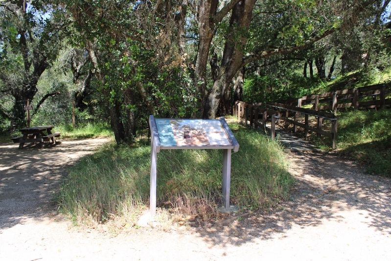
Location. 37° 1.865′ N, 121° 39.44′ W. Marker is in Gilroy, California, in Santa Clara County. Marker can be reached from Watsonville Road north of Burchell Road, on the left when traveling north. The marker is mounted to a metal stand on the trail just below the parking lot of the Chitactac-Adams Heritage County Park. Touch for map. Marker is at or near this postal address: 10001 Watsonville Road, Gilroy CA 95020, United States of America. Touch for directions.
Other nearby markers. At least 8 other markers are within walking distance of this marker. Rock Art (within shouting distance of this marker); Food Processing (within shouting distance of this marker); School Days (within shouting distance of this marker); A journey of a Lifetime (within shouting distance of this marker); Uvas Creek (about 300 feet away, measured in a direct line); Chitactac-Adams Heritage County Park (about 300 feet away); Arrival of the Spanish (about 400 feet away); Ranchos and Growth (about 600 feet away). Touch for a list and map of all markers in Gilroy.
Also see . . . Chitactac-Adams Heritage County Park.
"This beautiful and culturally significant 4.5 acre park site is located just minutes from the cities of Gilroy and Morgan Hill."(Submitted on May 20, 2022, by Joseph Alvarado of Livermore, California.)
Credits. This page was last revised on May 24, 2022. It was originally submitted on May 20, 2022, by Joseph Alvarado of Livermore, California. This page has been viewed 169 times since then and 18 times this year. Photos: 1, 2. submitted on May 20, 2022, by Joseph Alvarado of Livermore, California. • Devry Becker Jones was the editor who published this page.

