Golf Terrace Heights in Edina in Hennepin County, Minnesota — The American Midwest (Upper Plains)
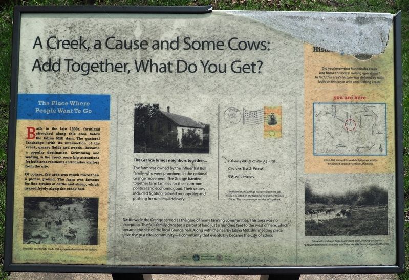
A Creek, a Cause and Some Cows: Add Together, What Do You Get?
Inscription.
The Place Where People Want To Go
Back in the late 1900s, farmland stretched along this area below the Edina Mill dam. The pastoral landscape—with its intersection of the creek, grassy fields and woods—became a popular destination. Swimming and wading in the creek were big attractions for both area residents and Sunday visitors from the city.
Of course, the area was much more than a picnic ground. The farm was famous for fine strains of cattle and sheep, which grazed freely along the creek bed.
Beautiful countryside made this a popular destination for visitors.
The Grange brings neighbors together...
The farm was owned by the influential Bull family, who were prominent in the national Grange movement. The Grange banded together farm families for their common political and economic good. Their causes included fighting railroad monopolies and pushing for rural mail delivery.
Caption: Minnehaha Grange Hall
On the Bull Farm
Edina, Minn.
The Minnehaha Grange Hall pictured here still exists. It is listed on the National Register of Historic Places. The structure now resides in Tupa Park.
Nationwide the Grange served as the glue of many farming communities. This area was no exception. The Bull family donated a parcel of land just a hundred feet to the west of here, which became the site of the local Grange hall. Along with the nearby Edina Mill, this meeting place gave rise to a vital community—a community that eventually became the City of Edina.
Did you know that Minnehaha Creek was home to several milling operations? In fact, this area's history was defined by mills built on this once wild and rushing creek.
Edina Mill Site and Browndale Bridge are locally designated as Edina Heritage Landmarks.
Edina Mill produced high-quality feed grain, making this area a "popular destination" for cattle too. Three notable farms surrounded the mill.
Erected by Minnehaha Creek Watershed District, The City of Edina.
Topics. This historical marker is listed in these topic lists: Agriculture • Industry & Commerce • Parks & Recreational Areas • Waterways & Vessels.
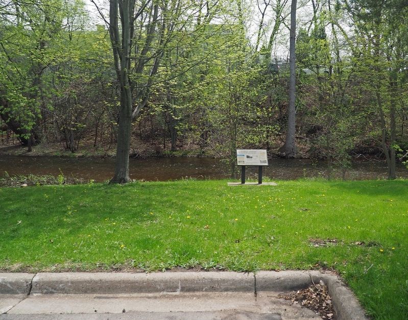
Location. 44° 54.687′ N, 93° 20.45′ W. Marker is in Edina, Minnesota, in Hennepin County. It is in Golf Terrace Heights. Marker can be reached from W. 50th Street east of Browndale Avenue, on the right when traveling east. Marker is in Utley Park, due south of the parking lot on the bank of the creek. Touch for map. Marker is at or near this postal address: 4521 W 50th Street, Minneapolis MN 55424, United States of America. Touch for directions.
Other nearby markers. At least 8 other markers are within 2 miles of this marker, measured as the crow flies. Edina Veterans Memorial (within shouting distance of this marker); Edina Mills (about 400 feet away, measured in a direct line); Dwight Williams Park (about 400 feet away); Edina Mill: A Fast Creek Generates Industry... and a Community (about 400 feet away); Minnehaha Grange Hall (approx. 0.4 miles away); Old Cahill School (approx. 0.4 miles away); Como–Harriet Streetcar Line (approx. 1.9 miles away); First School House (approx. 1.9 miles away). Touch for a list and map of all markers in Edina.
Credits. This page was last revised on February 12, 2023. It was originally submitted on May 15, 2022, by McGhiever of Minneapolis, Minnesota. This page has been viewed 117 times since then and 17 times this year. Last updated on May 21, 2022, by McGhiever of Minneapolis, Minnesota. Photos: 1, 2. submitted on May 15, 2022, by McGhiever of Minneapolis, Minnesota. • J. Makali Bruton was the editor who published this page.

