Antioch in Contra Costa County, California — The American West (Pacific Coastal)
Black Diamond Mines Regional Preserve
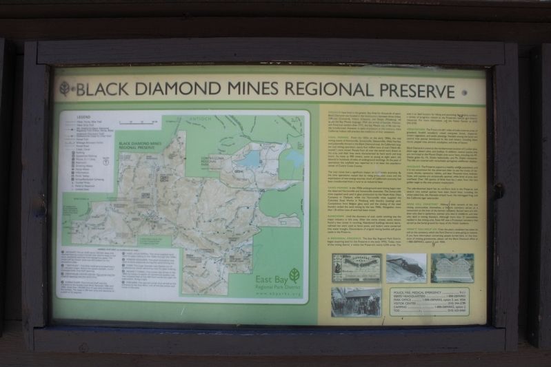
COAL MINING From the 1850s to the early 1900s, the coal mining towns of Nortonville, Somersville, Stewartville, West Hartley, and Judsonville thrived in the Black Diamond area. As California’s largest coal mining operation, nearly four million tons of coal (“black diamonds”) were mined. People from all over the world were drawn to the area, and their lives were characterized by hard work and long hours. As many as 900 miners, some as young as eight years old, labored in hundreds of miles of underground workings. At the peak of operations the coalfield was reported to have been the population center of Contra Costa County.
The coal mines had a significant impact on California’s economy. By the time operations ceased due to rising production costs and the exploitation of new energy sources, much of California’s economy had been transformed from a rural to an industrial base.
SAND MINING In the 1920s underground sand mining began near the deserted Nortonville and Somersville townsites. The Somersville mine supplied sand used in glass production by the Hazel-Atlas Glass Company in Oakland, while the Nortonville mine supplied the Columbia Steel Works in Pittsburg with foundry (casting) sand. Competition from Belgian glass sand and the closing of the steel foundry ended the sand mining by the late 1940s. Altogether, more than 1.8 million tons of sand had been mined.
RANCHING Until the discovery of coal, cattle ranching was the major industry in this area. After the mines closed, some miners found a new career in ranching. Abandoned buildings became barns, railroad ties were used as fence posts, and boilers were converted into water troughs. Descendants of original mining families still graze cattle in the Preserve.
A REGIONAL PRESERVE The East Bay Regional Park District began acquiring land for the Preserve in the early 1970s. Today, most of the mining district is within the Preserve’s nearly 6,096 acres. The area is an ideal location for hiking and picnicking. Naturalists conduct a variety of programs related to the Preserve’s natural and historic resources. For more information, call the Visitor Center at (510) 544-2750.
VEGETATION The Preserve’s 60+ miles of trails traverse areas of grassland, foothill woodland, mixed evergreen forests, chaparral, stream vegetation, and exotic plantings. Notable among the latter are several tree species introduced by the coal miners, including black locust, pepper tree, almond, eucalyptus, and tree of heaven.
Black Diamond is noted as the northernmost location of Coulter pine, black sage, desert olive, and dudleya. In addition, several species that are restricted to the Mount Diablo area occur here, including the Mt. Diablo globe lily, Mt. Diablo helianthella, and Mt Diablo manzanita. The hills are covered with remarkable springtime flower displays.
WILDLIFE The Preserve supports a healthy wildlife population, and it is not uncommon for the observant hiker to see the tracks of raccoons, skunks, opossums, rabbits, and deer. Mountain lions, bobcats, foxes, and coyotes are occasionally spotted, while birds of prey soar overhead. Over 100 species of birds have been seen, from the rare golden eagle to the ever-present meadowlark.
The side-blotched lizard has it northern limit in the Preserve, and several rare animal species have been found here, including the white-tailed kite, the alameda striped racer, the red-legged frog, and California tiger salamander.
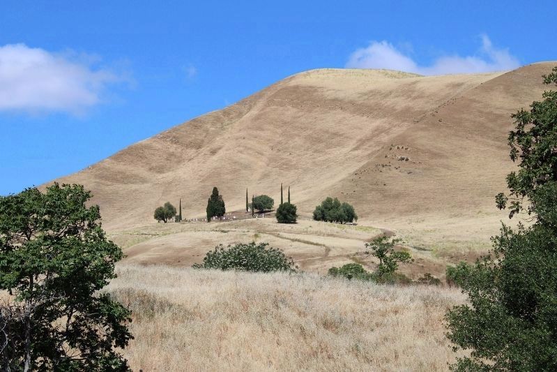
ROSE HILL CEMETERY Although little remains of the coal mining communities themselves, a historic
cemetery serves as a monument to the lives of the former residents. Buried here are children who died in epidemics, women who died in childbirth, and men who died in mining disasters. Although more the 10 nationalities resided in the mining area, Rose Hill was a Protestant cemetery that served as the burial ground for many of the Welsh residents.
WON’T YOU HELP US? Over the years, vandalism has taken its toll on the cemetery, which the Park District as attempting to restore. If you have information concerning people buried here, or the locations of missing gravestones, please call the Black Diamond office at 1-888-EBPARKS, option 3, ext. 4506.
Erected by East Bay Regional Park District.
Topics. This historical marker is listed in these topic lists: Cemeteries & Burial Sites • Industry & Commerce • Parks & Recreational Areas.
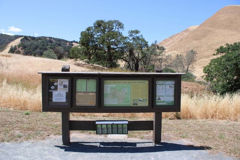
Location. 37° 57.496′ N, 121° 51.802′ W. Marker is in Antioch, California, in Contra Costa County. Marker can be reached from Somersville Road. The marker is mounted in a wood stand at the southern parking lot of the Black Diamond Mines Regional Preserve. Touch for map. Marker is at or near this postal address: 5175 Somersville Road, Antioch CA 94509, United States of America. Touch for directions.
Other nearby markers. At least 8 other markers are within walking distance of this marker. Mount Diablo Coal Field (a few steps from this marker); Independent Mine
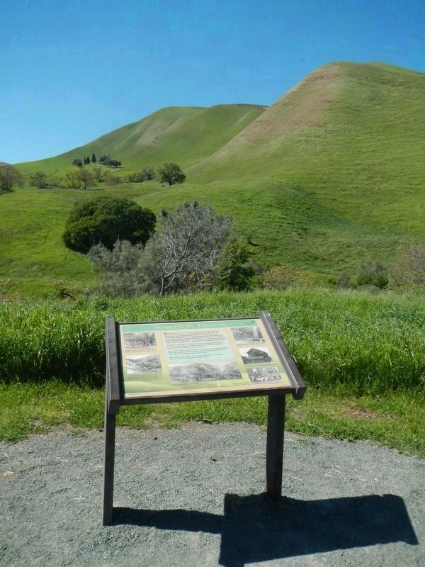
(within shouting distance of this marker); Somersville Townsite (about 300 feet away, measured in a direct line); Greathouse Portal (approx. ¼ mile away); a different marker also named Mount Diablo Coal Field (approx. 0.3 miles away); Eureka Slope (approx. 0.3 miles away); Rose Hill Cemetery (approx. 0.4 miles away); David Watts, Theophilus Watts and Thomas D. James (approx. 0.4 miles away). Touch for a list and map of all markers in Antioch.
Credits. This page was last revised on June 11, 2022. It was originally submitted on May 23, 2022, by Joseph Alvarado of Livermore, California. This page has been viewed 340 times since then and 38 times this year. Photos: 1, 2. submitted on May 23, 2022, by Joseph Alvarado of Livermore, California. 3. submitted on May 13, 2022, by Joseph Alvarado of Livermore, California. 4. submitted on April 5, 2016, by Barry Swackhamer of Brentwood, California. • Syd Whittle was the editor who published this page.


