Lewes Historic District in Sussex County, Delaware — The American Northeast (Mid-Atlantic)
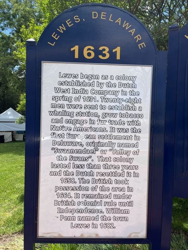
Lewes
1631
Topics. This historical marker is listed in these topic lists: Agriculture • Colonial Era • Indigenous Peoples and Communities • Industry & Commerce • Settlements & Settlers. A significant historical year for this entry is 1631.
Location. 38° 46.435′ N, 75° 8.341′ W. Marker is in Lewes, Delaware, in Sussex County. It is in the Lewes Historic District. It is on Kingshighway (U.S. 9) just south of 3rd Street, on the right when traveling south. Touch for map. Marker is in this post office area: Lewes DE 19958, United States of America. Touch for directions.

Regionally,
this page online
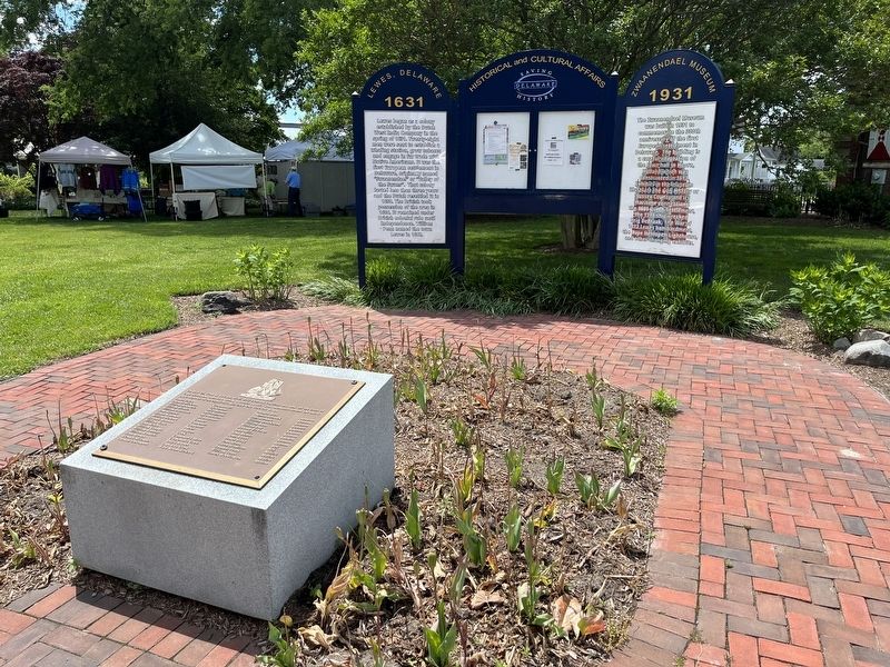
Other nearby markers. At least 8 other markers are within walking distance of this marker: Zwaanendael Museum (here, next to this marker); H.M. Brig DeBraak (here, next to this marker); Zwaanendael House (a few steps from this marker); David Hall House (a few steps from this marker); a different marker also named Lewes (within shouting distance of this marker); World Wars I and II Memorial (within shouting distance of this marker); The Zwaanendael Club (within shouting distance of this marker); The Fisher-Martin House (within shouting distance of this marker). Touch for a list and map of all markers in Lewes.
Credits. This page was last revised on September 18, 2023. It was originally submitted on May 29, 2022, by Devry Becker Jones of Washington, District of Columbia. This page has been viewed 312 times since then and 15 times this year. Photos: 1, 2. submitted on May 29, 2022, by Devry Becker Jones of Washington, District of Columbia.
