Near Roans Prairie in Grimes County, Texas — The American South (West South Central)
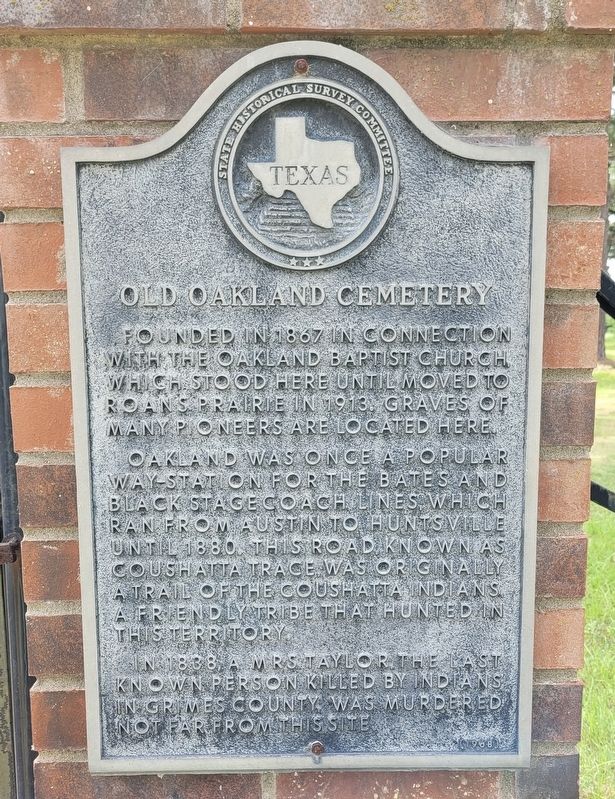
Old Oakland Cemetery
Photographed by James Hulse, June 3, 2022
1. Old Oakland Cemetery Marker
Oakland was once a popular way-station for the Bates and Black Stagecoach Lines, which ran from Austin to Huntsville until 1880. This road known as Coushatta Trace, was originally a trail of the Coushatta Indians, friendly tribe that hunted in this territory.
In 1838, a Mrs. Taylor, the last known person killed by Indians in Grimes County, was murdered not far from this site.
Erected 1968 by State Historical Survey Committee. (Marker Number 8607.)
Topics. This historical marker is listed in these topic lists: Indigenous Peoples and Communities • Roads & Vehicles • Settlements & Settlers • Wars, US Indian. A significant historical year for this entry is 1867.
Location. 30° 34.039′ N, 95° 56.578′ W. Marker is near Roans Prairie, Texas, in Grimes County. It is at the intersection of County Highway 219 and Oil Fire District Road, on the left when traveling south on County Highway 219. The marker is located on the front gate to the cemetery by the
this page online

Regionally, this marker is in the Prairies & Lakes Region. It is also in the American South. Globally, it is in North America, a Gulf of Mexico state, the Western Hemisphere, the Western World, and the Anglosphere. Historically, it finds itself in what was once New Spain, the Republic of Texas, one of the Confederate States of America, and the Antebellum South.
Other nearby markers. At least 8 other markers are within 6 miles of this marker, measured as the crow flies: Oakland Baptist Church (approx. one mile away); Anthony Drew Kennard (approx. 1.6 miles away); Shiro Presbyterian Church (approx. 4.4 miles away); Site of a Munition Factory (approx. 5.1 miles away); Veterans Memorial (approx. 6 miles away); Grimes County, C.S.A. (approx. 6 miles away); In Memory of Jesse Grimes and Mathew Caldwell (approx. 6 miles away); Grimes County Courthouse (approx. 6 miles away). Touch for a list and map of all markers in Roans Prairie.
Also see . . . Coushatta Trace.
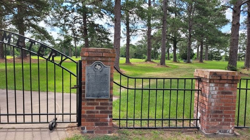
The Coushatta Trace was a(Submitted on June 5, 2022, by James Hulse of Medina, Texas.)road from Louisiana into Texas that was used by the Coushatta Indians in their hunting and trading activities. It was an important middle road between the better-known and Spanish-patrolled Atascosito Road along the Texas coast and the Old San Antonio Road farther inland. The first group of Coushattas migrated to Louisiana in approximately 1766, following a group of Alabamas who had established a village on the Opelousas River and soon thereafter established a large village on the Sabine River near the mouth of Quicksand Creek. They opened a path from their village southwestward to La Bahía, and perhaps farther, known to early American settlers as the Coushatta Trace. This trail was not much more than a narrow path barely suitable for riders on horseback. Source: The Handbook of TexasPhotographed by James Hulse, June 3, 20222. The Old Oakland Cemetery and Marker
Additional keywords. Coushatta Indians
Photographed by James Hulse, June 3, 2022
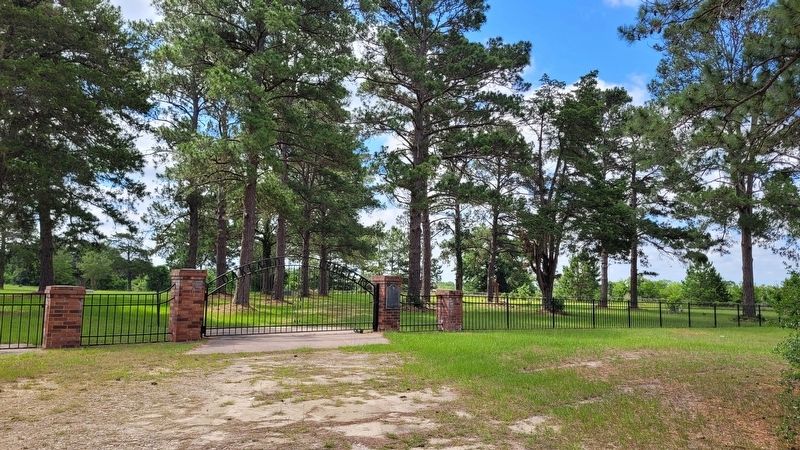
3. The view of the Old Oakland Cemetery and Marker from the road
Credits. This page was last revised on February 23, 2026. It was originally submitted on June 5, 2022, by James Hulse of Medina, Texas. This page has been viewed 381 times since then and 42 times this year. Photos: 1, 2, 3. submitted on June 5, 2022, by James Hulse of Medina, Texas.
