Downtown in Mount Airy in Carroll County, Maryland — The American Northeast (Mid-Atlantic)
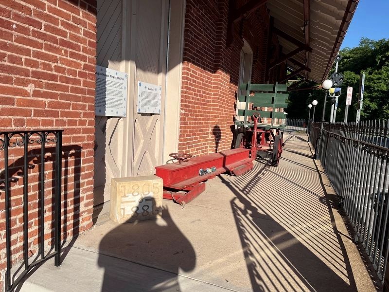
Bobsled
❄️
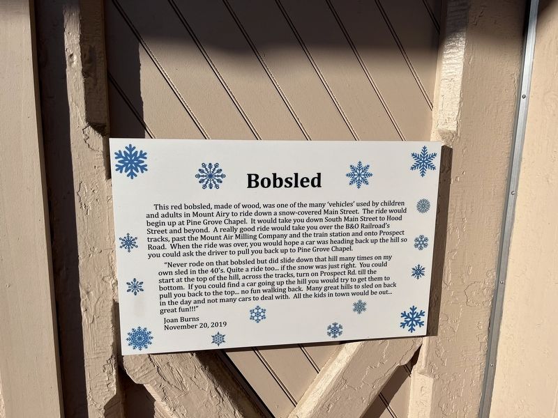
"Never rode on that bobsled but did slide down that hill many times on my own sled in the 40's. Quite a ride too… if the snow was just right. You could start at the top of the hill, across the tracks, turn on Prospect Rd. till the bottom. If you could find a car going up the hill you would try to get them to pull you back to the top… no fun walking back. Many great hills to sled on back in the day and not many cars to deal with. All the kids in town would be out… great fun!!!"
Erected 2019 by Joan Burns.
Topics and series. This historical marker is listed in these
this page online
Location. 39° 22.588′ N, 77° 9.276′ W. Marker is in Mount Airy, Maryland, in Carroll County. It is in Downtown. It is on North Main Street (Maryland Route 808) north of Center Street, on the right when traveling north. Touch for map. Marker is at or near this postal address: 2 N Main St, Mount Airy MD 21771, United States of America. Touch for directions.

Regionally, this marker is in the Baltimore Metro Region and in Central Maryland. It is also in the American Mid-Atlantic. Globally, it is in North America, the Western Hemisphere, the Western World, and the Anglosphere. Historically, it finds itself in what was once one of the original Thirteen Colonies and also the Antebellum South.
Other nearby markers. At least 8 other markers are within walking distance of this marker: The Gun Shack (a few steps from this marker); Commercial Bank (within shouting distance of this marker); The Runkles and Resnick Buildings
Credits. This page was last revised on June 5, 2022. It was originally submitted on June 5, 2022, by Devry Becker Jones of Washington, District of Columbia. This page has been viewed 526 times since then and 26 times this year. Photos: 1, 2. submitted on June 5, 2022, by Devry Becker Jones of Washington, District of Columbia.
