Gilroy in Santa Clara County, California — The American West (Pacific Coastal)
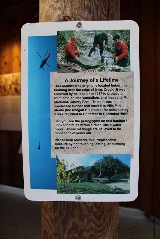
A journey of a Lifetime
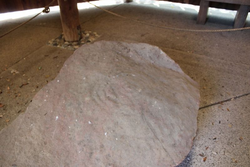
Can you see the petroglyphs on this boulder? Look for circles within circles, like a water ripple. These marking are believed to be thousands of years old.
Please help preserve this irreplaceable treasure by not touching, sitting, or climbing on the boulder.
Topics. This historical marker is listed in these topic lists: Anthropology & Archaeology • Arts, Letters, Music • Native Americans • Parks & Recreational Areas.
Location. 37° 1.837′ N, 121° 39.416′ W. Marker is in Gilroy, California, in Santa Clara County. Marker can be reached from Watsonville Road. The metal marker is mounted to an interpretive structure at the Chitactac-Adams Heritage County Park. Touch for map. Marker is at or near this postal address: 10001 Watsonville Road, Gilroy CA 95020, United States of America. Touch for directions.
Other nearby markers. At least 8 other markers are within walking distance of this marker. School Days (a few steps from this marker); Food Processing (within shouting distance of this marker); Chitactac-Adams Heritage County Park (within shouting distance of this marker); Uvas Creek (within shouting distance of this marker); Ohlone Buildings (within shouting distance of this marker); Arrival of the Spanish (within shouting distance of this marker); Rock Art (about 300 feet away, measured in a direct line); Ranchos and Growth (about 400 feet away). Touch for a list and map of all markers in Gilroy.
Credits. This page was last revised on June 30, 2022. It was originally submitted on June 27, 2022, by Joseph Alvarado of Livermore, California. This page has been viewed 109 times since then and 10 times this year. Photos: 1, 2. submitted on June 28, 2022, by Joseph Alvarado of Livermore, California. • Syd Whittle was the editor who published this page.
Editor’s want-list for this marker. Wide area view of the marker and its surroundings. • Can you help?

