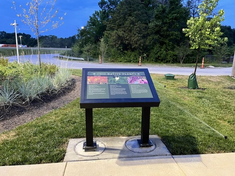
Turtlecreek Township near Lebanon in Warren County, Ohio — The American Midwest (Great Lakes)
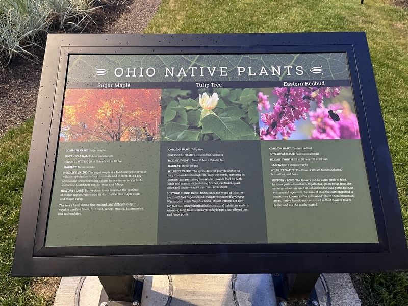
Ohio Native Plants
Botanical Name: Acer saccharum
Height / Width: 60 to 75 feet / 40 to 50 feet
Habitats: Mesic woods
Wildlife Value: The sugar maple is a food source for several wildlife species including mammals and insects. It is a key component of the breeding habitat for a wide variety of birds, and white-tailed deer eat the twigs and foliage.
History / Lore: Native Americans invented the process of maple sap collection and its distillation into maple sugar and maple syrup.
The tree's hard, dense, fine-grained, and difficult-to-split wood is used for floors, furniture, veneer, musical instruments and railroad uses.
Botanical Name: Liriodendron tuipifera
Height / Width: 79 to 90 feet / 35 to 50 feet
Habitats: Mesic woods
Wildlife Value: The spring flowers provide nectar for ruby-throated hummingbirds. Tulip tree seeds, maturing in summer and persisting into winter, providing food for both birds and mammals, including finches, cardinals, quail, mice, red squirrels, gray squirrels, and rabbits.
History / Lore: Daniel Boone used the wood of this tree for his 60-foot dugout canoe. Tulip trees planted by George Washington at his Virginia home, Mount Vernon, are now 140 feet tall. Once plentiful in their natural loggers for railroad ties and fence posts.
Botanical Name: Cercis canadensis
Height / Width: 20 to 30 feet / 25 to 35 feet
Habitat: Dry upland woods.
Wildlife Value: The flowers attract hummingbirds, butterflies, and bees..
History / Lore: The flowers can be eaten fresh or fried. In some parts of southern Appalachia, green twigs from the eastern redbud are used as seasoning for wild game, such as venison and opossum. Because of this, the eastern redbud is sometimes known as the spicewood tree in these mountain areas. Native Americans assumed redbud flowers raw or boiled and ate the seeds roasted.
Topics and series. This historical marker is listed in these topic lists: Anthropology & Archaeology • Industry & Commerce • Native Americans • Railroads & Streetcars • Settlements & Settlers • Waterways & Vessels. In addition, it is included in the Former U.S. Presidents: #01 George Washington series list.
Location. 39° 24.94′
Other nearby markers. At least 8 other markers are within walking distance of this marker. A different marker also named Ohio Native Plants (a few steps from this marker); a different marker also named Ohio Native Plants (a few steps from this marker); a different marker also named Ohio Native Plants (within shouting distance of this marker); Ohio Buckeye Tree (within shouting distance of this marker); a different marker also named Ohio Native Plants (about 300 feet away, measured in a direct line); a different marker also named Ohio Native Plants (about 500 feet away); a different marker also named Ohio Native Plants (about 600 feet away); a different marker also named Ohio Native Plants (about 600 feet away). Touch for a list and map of all markers in Lebanon.
Credits. This page was last revised on February 6, 2023. It was originally submitted on July 1, 2022, by Devry Becker Jones of Washington, District of Columbia. This page has been viewed 56 times since then and 7 times this year. Photos: 1, 2. submitted on July 1, 2022, by Devry Becker Jones of Washington, District of Columbia.

