Belpre in Washington County, Ohio — The American Midwest (Great Lakes)
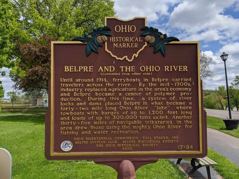
Belpre and the Ohio River
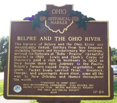
The history of Belpre and the Ohio River are inextricably linked. Settlers from New England, including farmers and Revolutionary War veterans, arrived via flatboats at “Belle-Prairie” (beautiful prairie) in 1789. Lewis and Clark's Corps of Discovery paid a visit in keelboats in 1803 as they began their epic journey to the Pacific. Belpre's farmers raised fruits, vegetables, and grain. Packet boats carried flour, livestock, vinegar, and passengers down river, some all the way to New Orleans and thence throughout the world.
Side B:
Erected 2003 by Ohio Bicentennial Commission, Tall Stacks, Inc., Belpre Civitan Club, Belpre Historical Society, and The Ohio Historical Society. (Marker Number 17-84.)
Topics and series. This historical marker is listed in these topic lists: Agriculture • Exploration • Industry & Commerce • Natural Features • Settlements & Settlers • War, US Revolutionary • Waterways & Vessels. In addition, it is included in the Ohio Historical Society / The Ohio History Connection series list. A significant historical year for this entry is 1789.
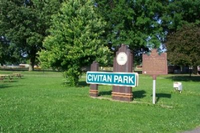
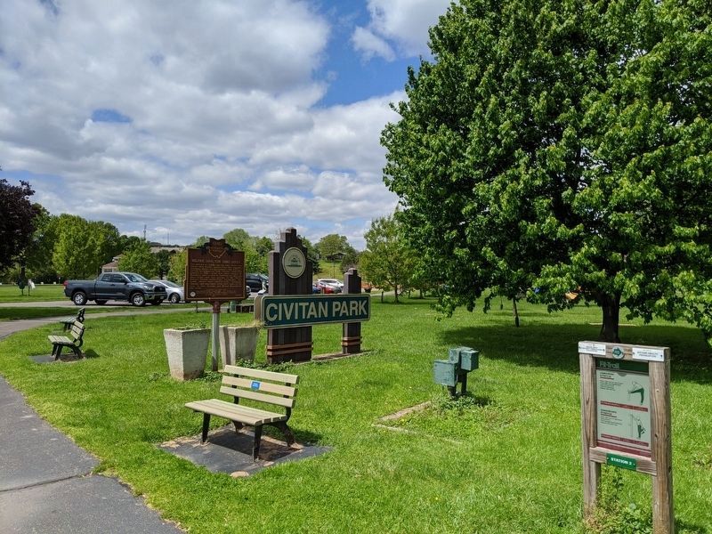
Location. 39° 16.394′ N, 81° 35.524′ W. Marker is in Belpre, Ohio, in Washington County. Marker is on Blennerhassett Avenue, on the left when traveling east. Marker is in Civitan Park, about 500 feet southeast of the bandstand. Touch for map. Marker is in this post office area: Belpre OH 45714, United States of America. Touch for directions.
Other nearby markers. At least 8 other markers are within walking distance of this marker. Devol's Floating Mill (about 400 feet away, measured in a direct line); Bathsheba Rouse (approx. ¼ mile away); Belpre Veterans Memorial (approx. ¼ mile away); Early Ohio Artists (approx. 0.3 miles away); Blennerhassett’s Cove (approx. 0.4 miles away in West Virginia); Site of First Blennerhassett Island Park (approx. 0.4 miles away in West Virginia); Black Walnut Tree Plantation (approx. half a mile away in West Virginia); Paling Fence (approx. half a mile away in West Virginia). Touch for a list and map of all markers in Belpre.
Credits. This page was last revised on May 10, 2020. It was originally submitted on June 20, 2009, by William Fischer, Jr. of Scranton, Pennsylvania. This page has been viewed 1,279 times since then and 51 times this year. Photos: 1. submitted on June 20, 2009, by William Fischer, Jr. of Scranton, Pennsylvania. 2. submitted on May 10, 2020, by Mike Wintermantel of Pittsburgh, Pennsylvania. 3. submitted on June 20, 2009, by William Fischer, Jr. of Scranton, Pennsylvania. 4. submitted on May 10, 2020, by Mike Wintermantel of Pittsburgh, Pennsylvania. • Craig Swain was the editor who published this page.


