Near Dundee in Monroe County, Michigan — The American Midwest (Great Lakes)
West County Park
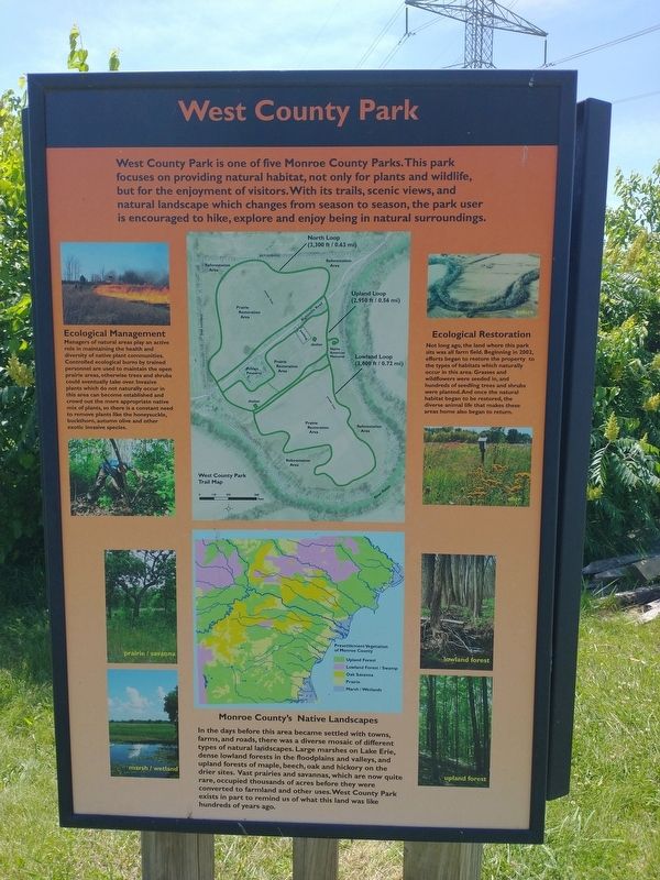
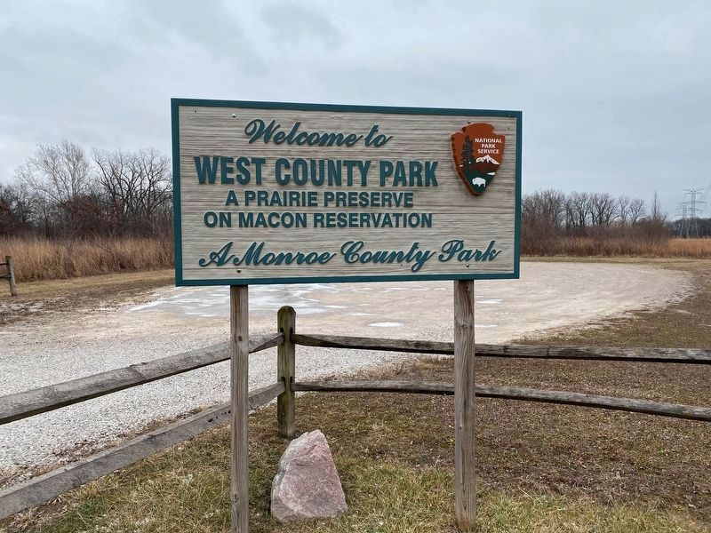
West County Park is one of five Monroe County Parks. This park focuses on providing natural habitat, not only for plants and wildlife, but for the enjoyment of visitors. With its trails, scenic views, and natural landscape which changes from season to season, the park user is encouraged to hike, explore and enjoy being in natural surroundings.
Ecological Management
Managers of natural areas play an active role in maintaining the health and diversity of native plant communities. Controlled ecological burns by trained personnel are used to maintain the open prairie areas, otherwise trees and shrubs could eventually take over. Invasive plants which do not naturally occur in this area can become established and crowd out the more appropriate native mix of plants, so there is a constant need to remove plants like the honeysuckle, buckthorn, autumn olive and other exotic invasive species.
Monroe County's Native Landscapes
In the days before this area became settled with towns, farms, and roads, there was a diverse mosaic of different types of natural landscapes. Large marshes on Lake Erie, dense lowland forests in the floodplains and valleys, and upland forests of maple, beech, oak and hickory on the drier sites. Vast prairies and savannas, which are now quite rare, occupied thousands of acres before they were converted to farmland and other uses. West County Park exists in part to remind us of what this land was like hundreds of years ago.
Ecological Restoration
Not long ago, the land where this park sits was all farm field. Beginning in 2002, efforts began to restore the property to the types of habitats which naturally occur in this area. Grasses and wildflowers were seeded in, and hundreds of seedling trees and shrubs were planted. And once the natural habitat began to be restored, the diverse animal life that makes these areas home also began to return.
Topics. This historical marker is listed in these topic lists: Natural Features • Parks & Recreational Areas • Waterways & Vessels. A significant historical year for this entry is 2002.
Location. 41° 57.758′ N, 83° 37.909′ W. Marker is near Dundee, Michigan, in Monroe County. Marker can be reached from Rightmire Road east of Stowell Road, on the right when traveling north. Touch for map. Marker is at or near this postal address: 14003 Rightmire Rd, Dundee MI 48131, United States of America. Touch for directions.
Other nearby markers. At least 8 other markers are within 2 miles of this marker, measured as the crow flies. First People of Monroe County (here, next to this marker); The River Raisin (here, next to this marker); Macon Indian Reserve (approx. 1.2 miles away); Macon Reservation Unit (approx. 1˝ miles away); Old Mill Museum (approx. 1˝ miles away); Dundee's Old Mill (approx. 1˝ miles away); The Old Village Jail (approx. 1˝ miles away); The Mill or Grist Stone (approx. 1˝ miles away). Touch for a list and map of all markers in Dundee.
Credits. This page was last revised on December 21, 2022. It was originally submitted on July 8, 2022, by Craig Doda of Napoleon, Ohio. This page has been viewed 132 times since then and 22 times this year. Photos: 1, 2. submitted on July 8, 2022, by Craig Doda of Napoleon, Ohio. 3. submitted on December 20, 2022, by J.T. Lambrou of New Boston, Michigan. 4. submitted on July 8, 2022, by Craig Doda of Napoleon, Ohio. • Devry Becker Jones was the editor who published this page.


