
Inner West Side in San Antonio in Bexar County, Texas — The American South (West South Central)
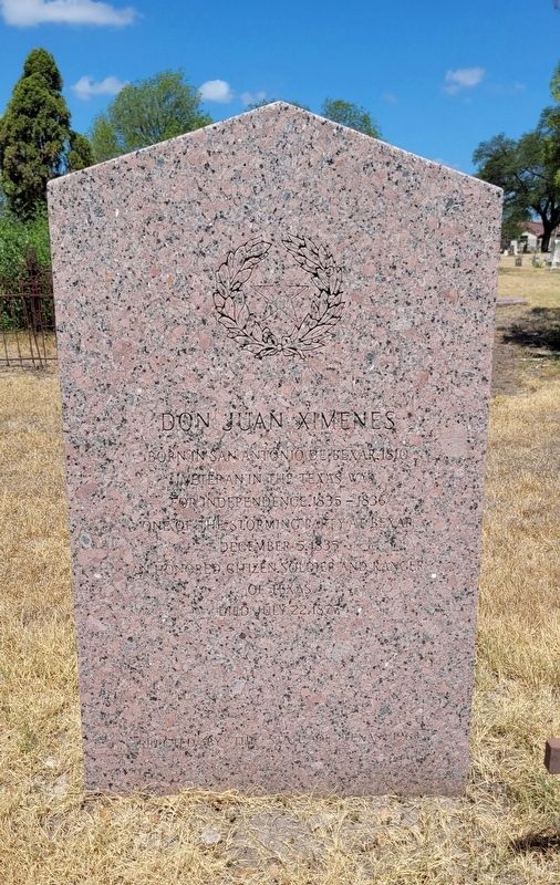
Don Juan Ximenes
Photographed by James Hulse, July 8, 2022
1. Don Juan Ximenes Marker
Veteran in the Texas War
for Independence. 1835-1836
One of the Storming Party at Béxar
December 5, 1835
An Honored Citizen, Soldier and Ranger
of Texas
Died July 22, 1877
Erected 1963 by State of Texas. (Marker Number 5918.)
Topics. This historical marker is listed in these topic lists: Cemeteries & Burial Sites • Hispanic Americans • War, Texas Independence • Wars, US Indian. A significant historical date for this entry is July 22, 1810.
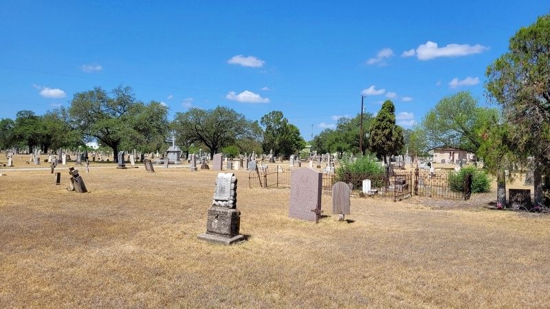
Location. 29° 24.937′ N, 98° 30.653′ W. Marker is in San Antonio, Texas, in Bexar County. It is in the Inner West Side. It can be reached from the intersection of South Colorado Street and Vera Cruz. The marker is located in the northeast section of the San Fernando Cemetery Number 1. Touch for map. Marker is in this post office area: San Antonio TX 78207, United States of America. Touch for directions.

Regionally, this marker is in South Texas. It is also in the American South. Globally, it is in North America, a Gulf of Mexico state, the Western Hemisphere, the Western World, and the Anglosphere. Historically, it finds itself in what was once New Spain, the Republic of Texas, and one of the Confederate States of America.
Other nearby markers. At least 8 other markers are within walking distance of this marker: Don José de Jesús Rodríguez (a few steps from this marker); José Antonio Navarro (within shouting distance of this marker); Capt. José Antonio Menchaca (within shouting distance of this marker); Placido Olivarri (about 400 feet away, measured in a direct line); Col. José Francisco Ruiz (about 500 feet away); Alejo de la Encarnación Pérez (about 500 feet away); The Grass Fight (approx. half a mile away); Sidney Lanier High School War Fallen (approx. half a mile away). Touch for a list and map of all
this page online
Also see . . . Bexar, Siege of. Texas State Historical Association (Submitted on July 9, 2022, by James Hulse of Medina, Texas.)
Additional commentary.
1. State of Texas 1963 Historical Marker
This marker is a part of the State of Texas Historical markers for the War of Texas Independence. It also has information about the marker from the Atlas of Texas Historical sites including a Texas State marker number.
— Submitted July 8, 2022, by James Hulse of Medina, Texas.
Photographed by James Hulse, July 8, 2022
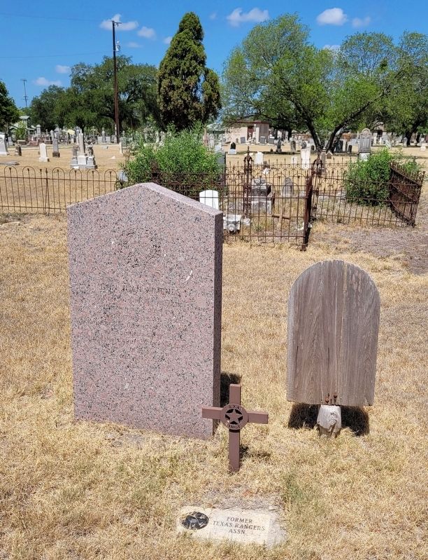
2. Don Juan Ximenes gravestone and Marker
Photographed by James Hulse, July 8, 2022
3. The view of the Don Juan Ximenes Marker from the cemetery
Credits. This page was last revised on February 2, 2023. It was originally submitted on July 8, 2022, by James Hulse of Medina, Texas. This page has been viewed 600 times since then and 51 times this year. Photos: 1, 2, 3. submitted on July 9, 2022, by James Hulse of Medina, Texas.
