Downtown in Columbus in Franklin County, Ohio — The American Midwest (Great Lakes)
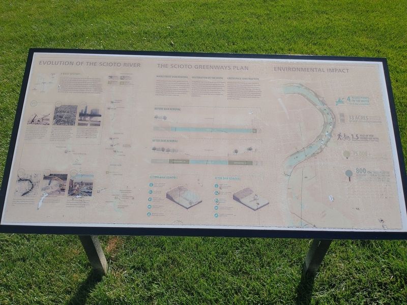
Evolution Of The Sioto River
A Brief History:
At over 231 miles long, the Scioto River bisects half the longitude of the State of Ohio The river has historically served as fertile hunting grounds for several Native American tribes a navigational tool for European settlers staking their claim in the New World, a route to freedom for enslaved people escaping to the Northern States along the Underground Railroad; a feeder canal for traders using the Ohio-Erie Canal; and today as a recreational amenity.
1913 The Great Flood-still considered the most catastrophic weather event experienced by the capitol city-sweeps through Downtown Columbus, devastating the city and surrounding communities and destroying the original wood dam.
1921 The City of Columbus responds by widening and deepening the river, constructing a 580 foot long low head dam and retaining walls. The dam helped reshape the Downtown Scioto River basin and into a channel more than double its natural width.
1980 Due to its overly wide channel and sediment, laden water, the dam contributes to an unhealthy aquatic life. Efforts are made to dredge the river, but silt quickly returns and muddies the waters.
2010 As a solution, The Scioto Greenways idea is developed as a part of the 2010 Downtown Strategic Plan.
2013 The Scioto Greenways plan is underway by the fall of 2013.
2015 The Scioto Greenway consisting of the main street dam removal river restoration, and greenspace construction, is completed.
The Scioto Greenway Plan
Main Street Dam Removal
Clean and accessible water, green and vast lawns, inviting and connective pathways are all reasons why the Scioto Greenways project was a city-changing endeavor. Not only does the Scioto Greenways improve the public realm, but it creates an enhanced ecosystem within the river now that its natural form and function has been restored.
Restoration Of The River
A healthier river is inviting to a greater variety of insect, bird and mammal species that are now found along the naturalized river banks. Without the dam and with water moving more freely through the Downtown corridor, an aquatic environment exists that can support more diverse fish and invertebrate populations.
Greenspace Construction
33 new acres of green space was created in the heart of the city, complete with 800 trees and over 75,000 plantings. This new urban riverfront parkland also features 1.5 miles of shared-use pathways, which serves as a critical linkage within the Central Ohio regional trail network, as well as small watercraft launches so that Columbus residents and visitors can access the water.
Topics. This historical marker is listed in these topic lists: Abolition & Underground RR • Environment • Industry & Commerce • Settlements & Settlers • Waterways & Vessels. A significant historical year for this entry is 1913.
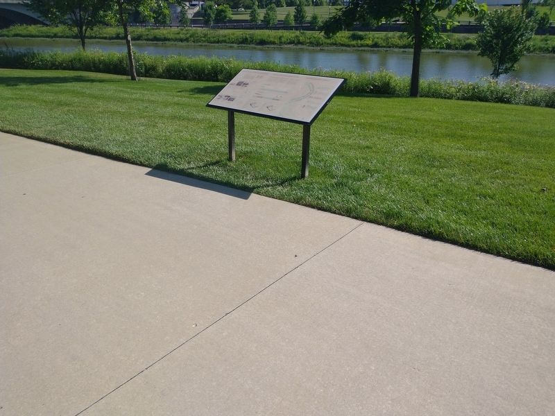
Location. 39° 57.805′ N, 83° 0.365′ W. Marker is in Columbus, Ohio, in Franklin County. It is in Downtown. Marker is on West Long Street west of Marconi Boulevard, on the right when traveling east. Touch for map. Marker is at or near this postal address: 199 W Long St, Columbus OH 43215, United States of America. Touch for directions.
Other nearby markers. At least 8 other markers are within walking distance of this marker. Labor & Workers Memorial (within shouting distance of this marker); American Federation of Labor / United Mine Workers of America (within shouting distance of this marker); Spanish War Veterans Memorial (within shouting distance of this marker); Pickaweekee (within shouting distance of this marker); Big Branch Coal Mines Memorial (within shouting distance of this marker); John Brickell (within shouting distance of this marker); USS Columbus (within shouting distance of this marker); Location of a children's park and fountain (within shouting distance of this marker). Touch for a list and map of all markers in Columbus.
Credits. This page was last revised on February 3, 2023. It was originally submitted on August 16, 2022, by Craig Doda of Napoleon, Ohio. This page has been viewed 118 times since then and 30 times this year. Photos: 1, 2. submitted on August 16, 2022, by Craig Doda of Napoleon, Ohio. • Devry Becker Jones was the editor who published this page.

