
Mackinac Island in Mackinac County, Michigan — The American Midwest (Great Lakes)
Home Of The Ancestors
Photographed by Trevor L Whited, August 10, 2022
1. Home Of The Ancestors Marker
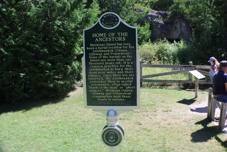
Mackinac Island has long been a burial location for the Anishnaabek (Odawa, Ojibway and Potawatomi). Some of the burials on the island are more than one thousand years old. It is a common practice for the Anishnaabek to bury their dead near water and their villages. Once their kin are interred, the Anishnaabek remember them in special ceremonies, often called "feasts of the dead" or "ghost suppers." Michigan Odawa, Ojibway and Potawatomi communities hold these feasts in autumn.
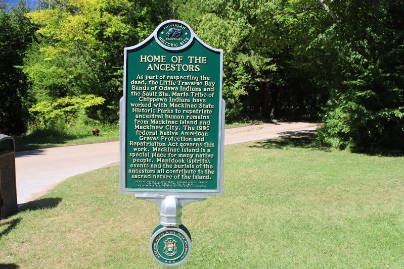
As part of respecting the dead, the Little Traverse Bay Bands of Odawa Indians and Sault Ste. Marie Tribe of Chippewa Indians have worked with Mackinac State Historic Parks to repatriate ancestral human remains from Mackinac Island and Mackinaw City. The 1990 federal Native American Graves Protection and Repatriation Act governs this work. Mackinac Island is a special place for many native people. Manidook (spirits), events and the burials of the ancestors all contribute to the sacred nature of the island.
Erected 2020 by Michigan Historical Commission - Michigan Historical Center. (Marker Number 4.)
Topics. This historical marker
this page online
Location. 45° 51.449′ N, 84° 37.131′ W. Marker is on Mackinac Island, Michigan, in Mackinac County. It is on Garrison Road north of Rifle Range Road, on the right when traveling north. Sits just to the side of the Skull Cave viewing area. Touch for map. Marker is in this post office area: Mackinac Island MI 49757, United States of America. Touch for directions.

Regionally, this marker is on Michigan’s Upper Peninsula and on the Straits of Mackinac. It is also in the American Midwest. Globally, it is in North America, in the Great North Woods, on the Great Lakes, in the Western Hemisphere, in the Western World, and in the Anglosphere. Historically, it finds itself in what was once the Viceroyalty of New France and also the Northwest Territory.
Other nearby markers. At least 8 other markers are within walking distance of this marker: Skull Cave (here, next to this marker); Fort Holmes (about 600 feet away,
Photographed by Trevor L Whited, August 10, 2022
2. Home Of The Ancestors Marker
Another marker is no longer nearby. Skull Cave (was here, next to this marker but has been permanently removed).
Related marker. Click here for another marker that is related to this marker. This marker has replaced the linked marker.

Photographed by Trevor L Whited, October 18, 2025
3. Home Of The Ancestors Marker
Skull Cave marker and Skull Cave in background
Credits. This page was last revised on October 27, 2025. It was originally submitted on August 20, 2022, by Trevor L Whited of Kokomo, Indiana. This page has been viewed 1,593 times since then and 101 times this year. Photos: 1, 2. submitted on August 20, 2022, by Trevor L Whited of Kokomo, Indiana. 3. submitted on October 20, 2025, by Trevor L Whited of Kokomo, Indiana. • Devry Becker Jones was the editor who published this page.
