Gooseberry Falls State Park near Two Harbors in Lake County, Minnesota — The American Midwest (Upper Plains)
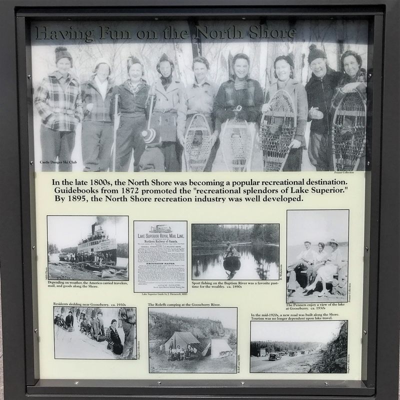
Having Fun on the North Shore
⎯⎯⎯
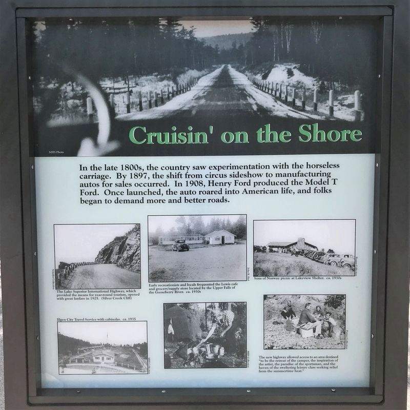
Cruisin' on the Shore
July 28, 2022
1. Having Fun on the North Shore Marker
captions:
Depending on weather, the America carried travelers, mail, and goods along the Shore.
Lake Superior Guide by J. Disturnell, MHS
Sport fishing on the Baptism River was a favorite past-time for the wealthy. ca. 1890s
The Penners enjoy a view of the lake at Gooseberry. ca. 1930s
Residents sledding near Gooseberry. ca. 1930s
The Roleffs camping at the Gooseberry River.
In the mid-1920s, a new road was built along the Shore. Tourism was no longer dependent upon lake travel.
photographs:
The Lake Superior International Highway, which provided the means for year-round tourism, opened with great fanfare in 1925. (Silver Creek Cliff)
Early recreationists and locals frequented the Lewis cafe and grocery/supply store located by the Upper Falls of the Gooseberry River. ca. 1930s
Sons of Norway picnic at Lakeview Shelter. ca. 1930s
Illgen City Travel Service with cabinolas. ca. 1935
The new highway allowed access to an area destined "to be the retreat of the camper, the inspiration of the artist, the paradise of the sportsman, and the haven of the sweltering leisure class seeking relief from the summertime heat."
Topics and series.
this page online
Location. 47° 8.581′ N, 91° 28.128′ W. Marker is near Two Harbors, Minnesota, in Lake County. It is in Gooseberry Falls State Park. It can be reached from Gitchi Gami State Trail. The marker is in Gateway Plaza. Touch for map. Marker is at or near this postal address: 3206 Highway 61 East, Two Harbors MN 55616, United States of America. Touch for directions.

Regionally, this marker is in the Arrowhead Region, in the Iron Range, and in the North Shore. It is also in the American Midwest and in the Corn Belt. Globally, it is in North America, in the Great North Woods, on the Great Lakes, on Lake Superior’s North Shore, in the Western Hemisphere, in the Western World, and in the Anglosphere. Historically, it finds itself in what was once the Viceroyalty of New France, Rupert’s Land, the territory of the Mississippian Culture, and the Northwest Territory.
Other nearby markers. At
July 28, 2022
2. Cruisin' on the Shore Marker
July 28, 2022
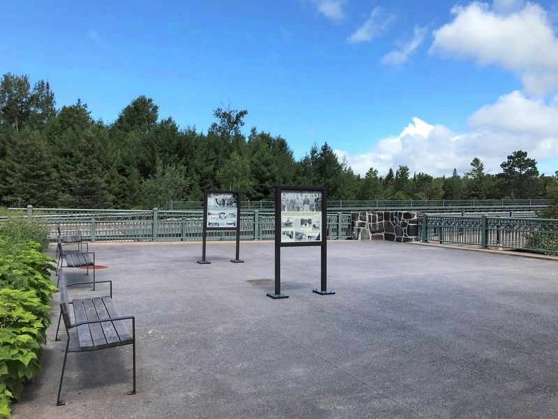
3. Having Fun on the North Shore / Cruisin' on the Shore Marker (right)
July 28, 2022
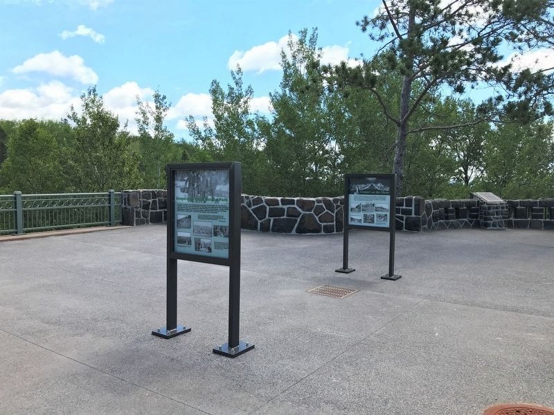
4. Having Fun on the North Shore / Cruisin' on the Shore Marker (right)
Credits. This page was last revised on April 4, 2025. It was originally submitted on August 21, 2022. This page has been viewed 201 times since then and 16 times this year. Photos: 1, 2, 3, 4. submitted on August 21, 2022.
