Edenton in Clermont County, Ohio — The American Midwest (Great Lakes)
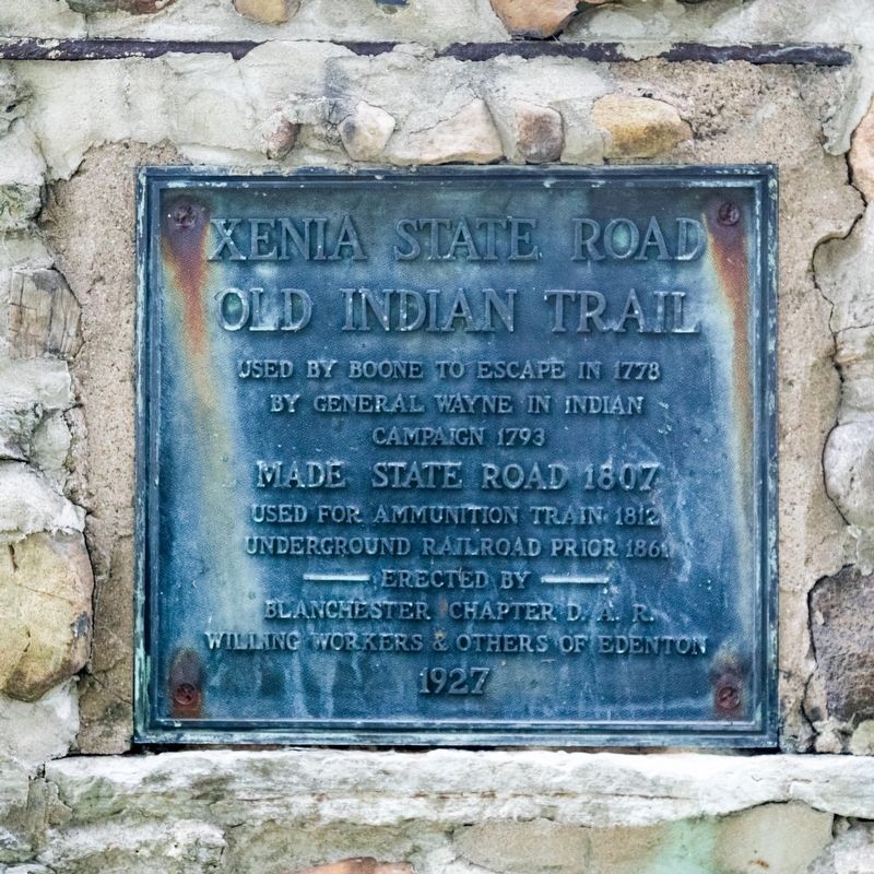
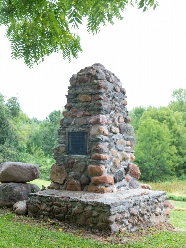
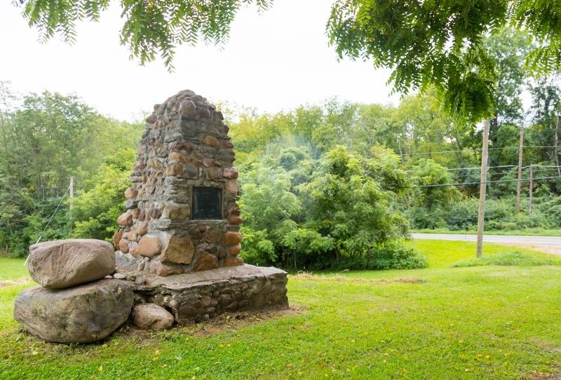
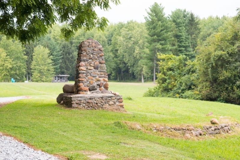
Xenia State Road Old Indian Trail Monument
Bullskin Trace — Xenia Trace
Used by Boone to escape in 1778, by General Wayne in Indian Campaign, 1793. Made state road, 1807. Used for ammunition train, 1812. Underground Railroad prior 1861
Erected 1927 by Blanchester Chapter, D.A.R., willing workers & others of Edenton.
Topics and series. This historical marker and monument is listed in these topic lists: Abolition & Underground RR • Native Americans • War of 1812 • Wars, US Indian. In addition, it is included in the Daughters of the American Revolution series list.
Location. 39° 13.805′ N, 84° 3.109′ W. Marker is in Edenton, Ohio, in Clermont County. Marker is on Ohio Route 133, 0.2 miles south of Edenton-Pleasant Plain Road (Ohio Route 727), on the left when traveling north. It is off the highway on a private drive. Touch for map. Marker is at or near this postal address: 6585 OH-133, Goshen OH 45122, United States of America. Touch for directions.
Other nearby markers. At least 8 other markers are within 6 miles of this marker, measured as the crow flies. Burial Site of Two Unknown Soldiers (approx. 3.2 miles away); Garrison Corner Community (approx. 5.3 miles away); Garrison Corner GAR Monument (approx. 5.3 miles away); WWII Killed in Action (approx. 5.4 miles away); Blanchester Veterans' Memorial Park (approx. 5.4 miles away); Sgt. Chester H. Wilson (approx. 5.4 miles away); Goshen High School Veterans Memorial (approx. 5.6 miles away); Goshen School Building (approx. 5.6 miles away).
Regarding Xenia State Road Old Indian Trail Monument. The earliest “roads” in Clermont County, Ohio were traces made by the hoofs of animals and footsteps of Native Americans. The most significant trace in the county was the Bullskin Trace, also known as the Xenia Trace.
Also see . . .
1. One of the earliest roads: Bullskin Trace. 2016 article by Joan Baxter in the Xenia Gazette. Excerpt:
This road became the first official highway in the state of Ohio on Feb. 4, 1807. This was adopted by the State Legislature and was then re-named the “Xenia State Road.” The right of way was to be 66 feet wide throughout its course. ...(Submitted on August 28, 2022, by J. J. Prats of Powell, Ohio.)
During the War of 1812, the road proved to be invaluable. It made possible the transporting of provisions to Admiral Perry’s fleet on the Great Lakes. Supplies were transported by boat down the Ohio River to the Bullskin Creek, and from there, a caravan of fifteen wagons made it way north the lake, across the corduroy road. For nearly two years, supplies were hauled northward on this road with two men assigned to each wagon.
Slaves who were escaping from Kentucky and other southern stated often headed north following the Bullskin Trace. New Burlington residents were well-known for their assistance in helping those who were seeking freedom. Several homes had secret hiding places, as well as some businesses. The slaves were kept out of site before continuing their journey along the Bullskin Trace where others also provided shelter and food for the journey.
2. History of Ohio 133. On the Tate Township website. Excerpt:
1793, General Wayne improved the trace so he could fight Indians in northern Ohio. • 1807 – 1808, the Ohio Legislature established the road as the Xenia State Road. At that time, $700 was obtained to buy land to create a 20-foot right of way.(Submitted on August 28, 2022.)
Credits. This page was last revised on April 7, 2024. It was originally submitted on August 28, 2022, by J. J. Prats of Powell, Ohio. This page has been viewed 313 times since then and 65 times this year. Photos: 1, 2, 3, 4. submitted on August 28, 2022, by J. J. Prats of Powell, Ohio.


