Stamford in Delaware County, New York — The American Northeast (Mid-Atlantic)
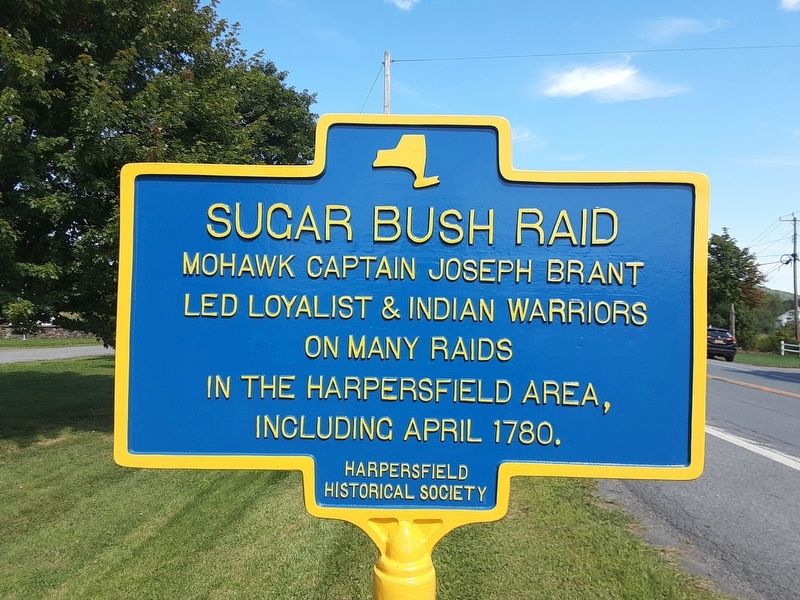
Sugar Bush Raid
Photographed by Scott J. Payne, September 10, 2022
1. Sugar Bush Raid Marker
Mohawk Captain Joseph Brant led loyalist and Indian warriors on many raids in the Harpersfield area, including 1780.
Erected by Harpersfield Historical Society.
Topics. This historical marker is listed in these topic lists: Colonial Era • Indigenous Peoples and Communities • War, US Revolutionary • Wars, US Indian. A significant historical year for this entry is 1780.
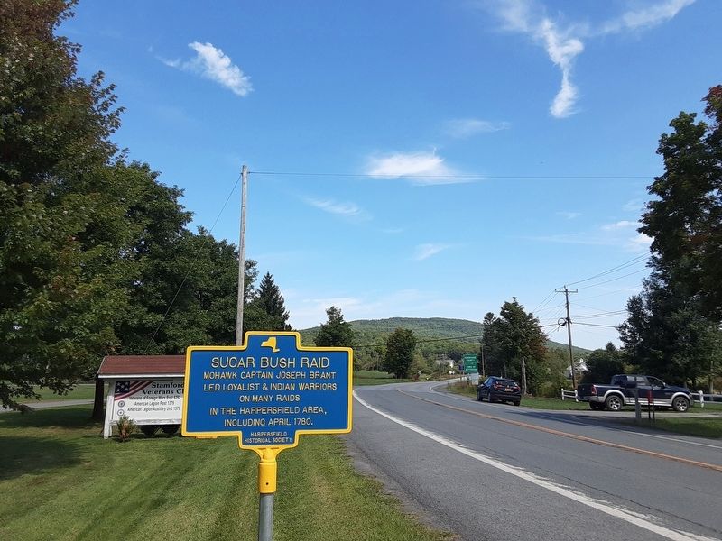
Location. 42° 25.534′ N, 74° 37.256′ W. Marker is in Stamford, New York, in Delaware County. It is at the intersection of New York State Route 10 and Terry Road, on the left when traveling north on New York State Route 10. Touch for map. Marker is in this post office area: Stamford NY 12167, United States of America. Touch for directions.

Regionally, this marker is in Upstate New York and in the Southern Tier. It is also in the American Northeast, in the Mid-Atlantic, in Appalachia, and specifically in Northern Appalachia. Globally, it is in North America, the Western Hemisphere, the Western World, and the Anglosphere. Historically, it finds itself in what was once New Netherland and also one of the original Thirteen Colonies.
this page online
Other nearby markers. At least 8 other markers are within 4 miles of this marker, measured as the crow flies: Herring Park (approx. one mile away); In Memory of Our Heroic Dead (approx. 1.2 miles away); Mount Utsayantha (approx. 1.4 miles away); Site of Battle (approx. 1.7 miles away); a different marker also named Sugar Bush Raid (approx. 2.4 miles away); a different marker also named Sugar Bush Raid (approx. 3 miles away); Harpersfield Toll Gate (approx. 3.1 miles away); a different marker also named Sugar Bush Raid (approx. 3.2 miles away). Touch for a list and map of all markers in Stamford.
Another marker is no longer nearby. Utsayantha Lake (was about 300 feet away, measured in a direct line but has been confirmed missing).
Also see . . .
1. Harpersfield Historical Society. (Submitted on September 15, 2022, by Michael Herrick of Southbury, Connecticut.)
2. The Heroic Hendry's and their Ultimate Sacrifice in the Revolutionary War. The story of Thomas and John Hendry, killed in the Sugar Bush Raid. As researched by a descendent on LinkedIn. (Submitted on September 10, 2022, by Scott J. Payne of Deposit, New York.)
Photographed by Scott J. Payne, September 10, 2022
2. Sugar Bush Raid Marker
Photographed by Scott J. Payne, September 10, 2022
3. Sugar Bush Raid Marker
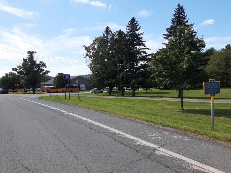
Looking south towards the village of Stamford on Rt 10.
Credits. This page was last revised on November 5, 2024. It was originally submitted on September 10, 2022, by Scott J. Payne of Deposit, New York. This page has been viewed 1,115 times since then and 75 times this year. Photos: 1, 2, 3. submitted on September 10, 2022, by Scott J. Payne of Deposit, New York. • Michael Herrick was the editor who published this page.
