Near Bethany Beach in Sussex County, Delaware — The American Northeast (Mid-Atlantic)
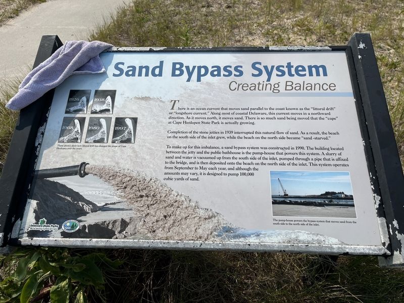
Sand Bypass System
Creating Balance
There is an ocean current that moves sand parallel to the coast known as the "littoral drift" or "longshore current." Along most of coastal Delaware, this current moves in a northward direction. As it moves north, it moves sand. There is so much sand being moved that the "cape" at Cape Henlopen State Park is actually growing.
Completion of the stone jetties in 1939 interrupted this natural flow of sand. As a result, the beach on the south side of the inlet grew, while the beach on the north side became "sand -starved."
To make up for this imbalance, a sand bypass system was constructed in 1990. The building located between the jetty and the public bathhouse is the pump-house that powers this system. A slurry of sand and water is vacuumed up from the south side of the inlet, pumped through a pipe that is affixed to the bridge, and is then deposited onto the beach on the north side of the inlet. This system operates from September to May each year, and although the amounts may vary, it is designed to pump 100,000 cubic yards of sand.
[Captions:]
These photos show how littoral drift has changed the shape of Cape Henlopen over the years.
The pump-house powers the bypass system that moves sand from the south side to the north side of the inlet.
Erected by Delaware State Parks.
Topics and series. This historical marker is listed in these topic lists: Environment • Natural Resources • Parks & Recreational Areas • Waterways & Vessels. In addition, it is included in the Delaware State Parks series list. A significant historical year for this entry is 1939.
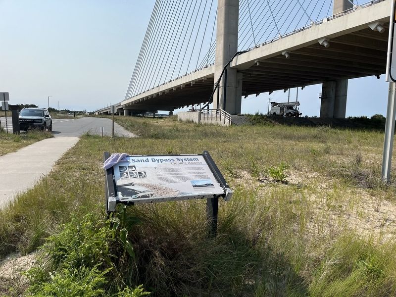
Location. 38° 36.44′ N, 75° 3.782′ W. Marker is near Bethany Beach, Delaware, in Sussex County. Marker can be reached from Access Road A, 0.2 miles north of Coastal Highway (Delaware Route 1), on the right when traveling north. Touch for map. Marker is at or near this postal address: 27070 Coastal Hwy, Bethany Beach DE 19930, United States of America. Touch for directions.
Other nearby markers. At least 8 other markers are within 2 miles of this marker, measured as the crow flies. Catching Waves (about 300 feet away, measured in a direct line); Indian River Inlet and Bridge (about 500 feet away); United States Life-Saving Service (about 600 feet away); a different marker also named Sand Bypass System (about 600 feet away); Charles W. Cullen Bridge (about 700 feet away); a different marker also named Indian River Inlet and Bridge (about 800 feet away); Shipwreck of the Faithful Steward (approx. 1.4 miles away); Veterans Memorial (approx. 1˝ miles away). Touch for a list and map of all markers in Bethany Beach.
Related marker. Click here for another marker that is related to this marker. An identical marker
Credits. This page was last revised on September 18, 2022. It was originally submitted on September 18, 2022, by Devry Becker Jones of Washington, District of Columbia. This page has been viewed 88 times since then and 27 times this year. Photos: 1, 2. submitted on September 18, 2022, by Devry Becker Jones of Washington, District of Columbia.

