Frankenmuth in Saginaw County, Michigan — The American Midwest (Great Lakes)
A Rich History, A Precious Resource
Historical Facts
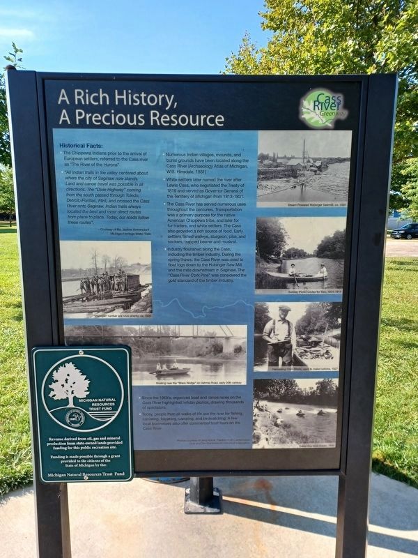
Photographed by Joel Seewald, August 27, 2022
1. A Rich History, A Precious Resource Marker
- The Chippewa Indians prior to the arrival of European settlers, referred to the Cass river as "The River of the Hurons."
- "All Indian trails in the valley centered about where the city of Saginaw now stands. Land and canoe travel was possible in all directions. The "Dixie Highway" coming from the south passed through Toledo, Detroit, Pontiac, Flint, and crossed the Cass River onto Saginaw. Indian trails always located the best and most direct routes from place to place. Today, our roads follow these routes".
— Courtesy of Ms. Jeanne Bewersdorff, Michigan Heritage Water Trails - Numerous Indian villages, mounds, and burial grounds have been located along the Cass River (Archaeology [sic] Atlas of Michigan, W.B. Hinsdale, 1931)
- White settlers later named the river after Lewis Cass, who negotiated the Treaty of 1819 and served as Governor General of the Territory of Michigan from 1813-1831.
- The Cass River has served numerous uses throughout the centuries. Transportation was a primary purpose for the native Chippewa tribe, and later for fur traders, and white settlers. The Cass also provided a rich source of food.
Early settlers fished walleye, sturgeon, pike, and suckers, trapped beaver and muskrat.
Click or scan to see
this page online - Industry flourished along the Cass, including the timber industry. During the spring thaws, the Cass River was used to float logs down to the Hubinger Saw Mill and the mills downstream in Saginaw. The "Cass River Cork Pine" was considered the gold standard of the timber industry.
- Since the 1950's, organized boat and canoe races on the Cass River highlighted holiday picnics, drawing thousands of spectators.
- Today, people from all walks of life use the river for fishing, canoeing, kayaking, camping, and birdwatching. A few local businesses also offer commercial boat tours on the Cass River.
Erected by Cass River Greenway.
Topics. This historical marker is listed in these topic lists: Anthropology & Archaeology • Industry & Commerce • Parks & Recreational Areas • Waterways & Vessels. A significant historical year for this entry is 1819.
Location. 43° 19.817′ N, 83° 44.019′ W. Marker is in Frankenmuth, Michigan, in Saginaw
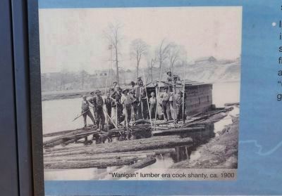
2. A Rich History, A Precious Resource Marker — top left image
"Wanigan" lumber era cook shanty, ca. 1900

Regionally, this marker is in Mid-Michigan. It is also in the American Midwest. Globally, it is in North America, the Western Hemisphere, the Western World, and the Anglosphere. Historically, it finds itself in what was once the Northwest Territory.
Other nearby markers. At least 8 other markers are within walking distance of this marker: Marv Herzog Fest Platz (about 800 feet away, measured in a direct line); Chippewa Indian Memorial (approx. 0.2 miles away); a different marker also named Chippewa Indian Memorial (approx. 0.2 miles away); Star of the West Milling Company (approx. ¼ mile away); Frankenmuth Veteran's Memorial (approx. ¼ mile away); Frankenmuth Agriculture (approx. ¼ mile away); Frankenmuth Education (approx. 0.3 miles away); Michigan's Oldest Woolen Mill (approx. 0.3 miles away). Touch for a list and map of all markers in Frankenmuth.
Also see . . .
1. Archaeological Atlas of Michigan.
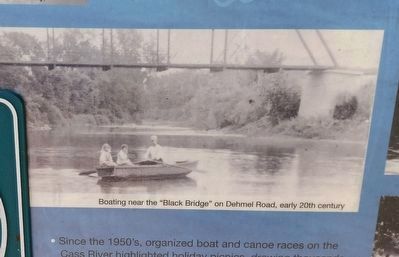
3. A Rich History, A Precious Resource Marker — bottom left image
Boating near the "Black Bridge" on Dehmel Road, early 20th century
2. The Treaty of Saginaw, 1819, between General Lewis Cass and the Chippewa Indians. A copy of this book "Written for the Centennial Celebration of the Treaty" at HathiTrust. (Submitted on September 22, 2022, by Joel Seewald of Madison Heights, Michigan.)
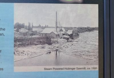
4. A Rich History, A Precious Resource Marker — top right image
Steam Powered Hubinger Sawmill, ca. 1895
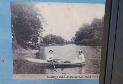
5. A Rich History, A Precious Resource Marker — second image from top right
Sunday Picnic Cruise for Two, 1904-1914
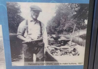
6. A Rich History, A Precious Resource Marker — second image from bottom right
Harvesting Clam Shells, used to make buttons, 1927
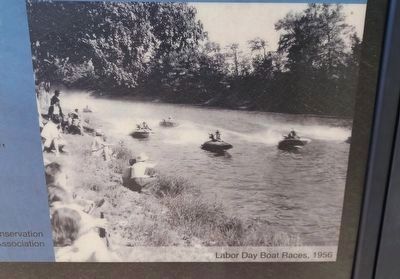
7. A Rich History, A Precious Resource Marker — bottom right image
Labor Day Boat Races, 1956
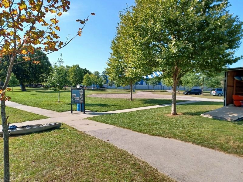
Photographed by Joel Seewald, August 27, 2022
8. A Rich History, A Precious Resource Marker
Photographed by Joel Seewald, August 27, 2022
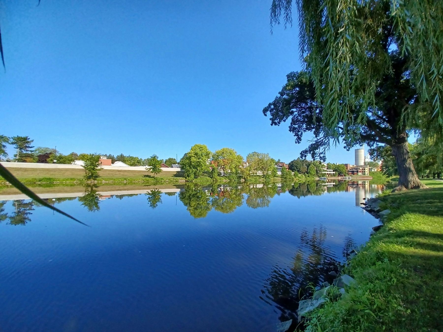
9. Cass River
A view of the Cass River from the west side of Heritage Park looking north.
Credits. This page was last revised on September 22, 2022. It was originally submitted on September 22, 2022, by Joel Seewald of Madison Heights, Michigan. This page has been viewed 897 times since then and 106 times this year. Photos: 1, 2, 3, 4, 5, 6, 7, 8, 9. submitted on September 22, 2022, by Joel Seewald of Madison Heights, Michigan.
