Near Shepherd in San Jacinto County, Texas — The American South (West South Central)
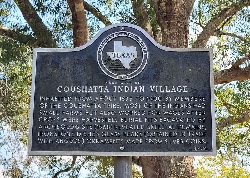
Near Site of Coushatta Indian Village
Erected 1970 by State Historical Survey Committee. (Marker Number 7653.)
Topics. This historical marker is listed in these topic lists: Agriculture • Anthropology & Archaeology • Native Americans. A significant historical year for this entry is 1835.
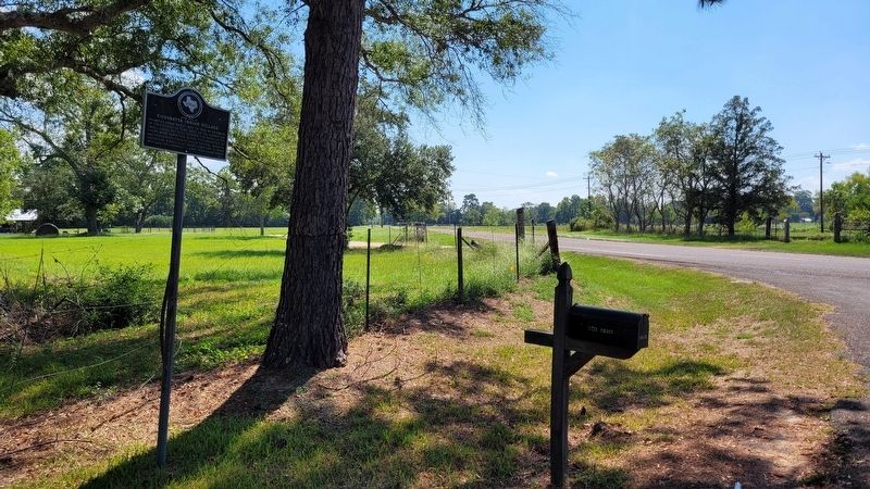
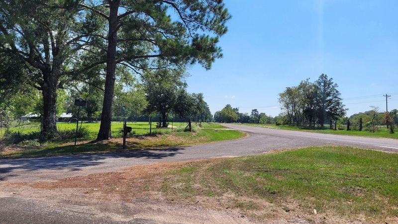
Location. 30° 29.549′ N, 94° 57.75′ W. Marker is near Shepherd, Texas, in San Jacinto County. Marker is at the intersection of Farm to Market Road 223 and Shraderville Road, on the left when traveling south on Highway 223. The marker is located at the southeast corner of the intersection. Touch for map. Marker is at or near this postal address: 1712 FM 223, Shepherd TX 77371, United States of America. Touch for directions.
Other nearby markers. At least 8 other markers are within 11 miles of this marker, measured as the crow flies. Shepherd Methodist Church (approx. 2.4 miles away); Town of Shepherd (approx. 2.4 miles away); Goodrich School (approx. 7.9 miles away); Daniel Donahoe Original Homestead (approx. 9 miles away); Oak Shade Baptist Church (approx. 9 miles away); Early Roads in Polk County (approx. 10.2 miles away); Site of the Town of Swartwout (approx. 10.4 miles away); The Liberty Hill Church & School (approx. 10.9 miles away). Touch for a list and map of all markers in Shepherd.
Also see . . . Coushatta. Wikipedia
When first encountered by Europeans, they lived in the territory of present-day Tennessee, Georgia and Alabama. They were historically closely allied and intermarried with the Alabama people, also members of the Creek Confederacy. Their languages are closely related and mutually intelligible.(Submitted on September 24, 2022, by James Hulse of Medina, Texas.)
Under pressure from Anglo-American colonial settlement after 1763 and the French defeat in the Seven Years' War, they began to move west into Mississippi, Louisiana and Texas, which were then under Spanish rule. They became settled in these areas by the early 19th century. Some of the Coushatta and Alabama people were removed west to Indian Territory (now Oklahoma) in the 1830s under Indian Removal, together with other Muscogee (Creek) peoples.
Credits. This page was last revised on September 24, 2022. It was originally submitted on September 23, 2022, by James Hulse of Medina, Texas. This page has been viewed 179 times since then and 27 times this year. Photos: 1, 2, 3. submitted on September 24, 2022, by James Hulse of Medina, Texas.


