Jackson in Jackson County, Michigan — The American Midwest (Great Lakes)
This alley is named for Emma Nichols
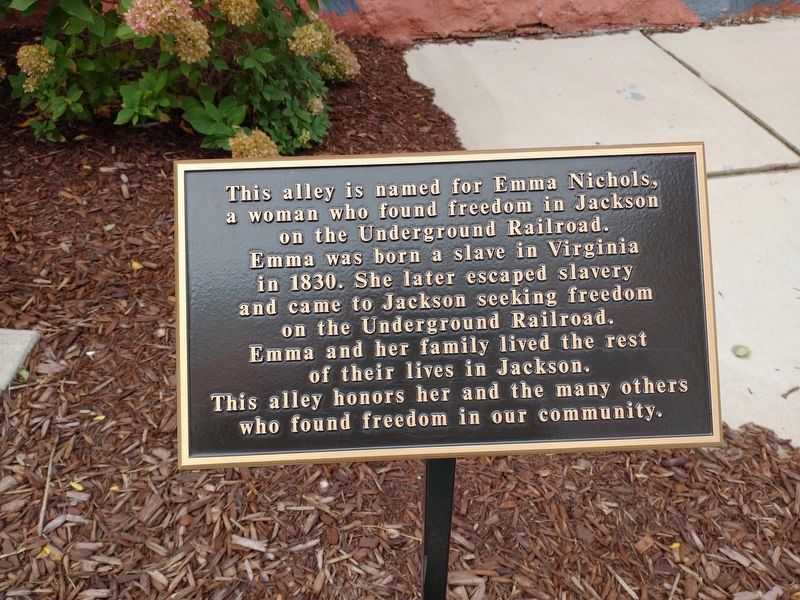
Photographed by Craig Doda, September 26, 2022
1. This alley is named for Emma Nichols Marker
Topics. This historical marker is listed in these topic lists: Abolition & Underground RR • African Americans • Parks & Recreational Areas • Women. A significant historical year for this entry is 1830.
Location. 42° 14.835′ N, 84° 24.477′ W. Marker is in Jackson, Michigan, in Jackson County. It is on West Michigan Avenue east of South Jackson Street, on the right when traveling east. Touch for map. Marker is at or near this postal address: 159 W Michigan Ave, Jackson MI 49201, United States of America. Touch for directions.

Regionally, this marker is in Mid-Michigan. It is also in the American Midwest. Globally, it is in North America, the Western Hemisphere, the Western World, and the Anglosphere. Historically, it finds itself
this page online
Other nearby markers. At least 8 other markers are within walking distance of this marker: Bucky Harris Park (within shouting distance of this marker); Horace Ismon / Ismon Building (within shouting distance of this marker); Jacksonburg Public Square (about 300 feet away, measured in a direct line); Abolitionists in Jackson (about 300 feet away); Edward Pomeroy Post No. 48 Grand Army Of The Republic (about 300 feet away); The St. Joseph Indian Trail (about 300 feet away); First Baptist Church (about 400 feet away); The First Congregational Church (about 400 feet away). Touch for a list and map of all markers in Jackson.
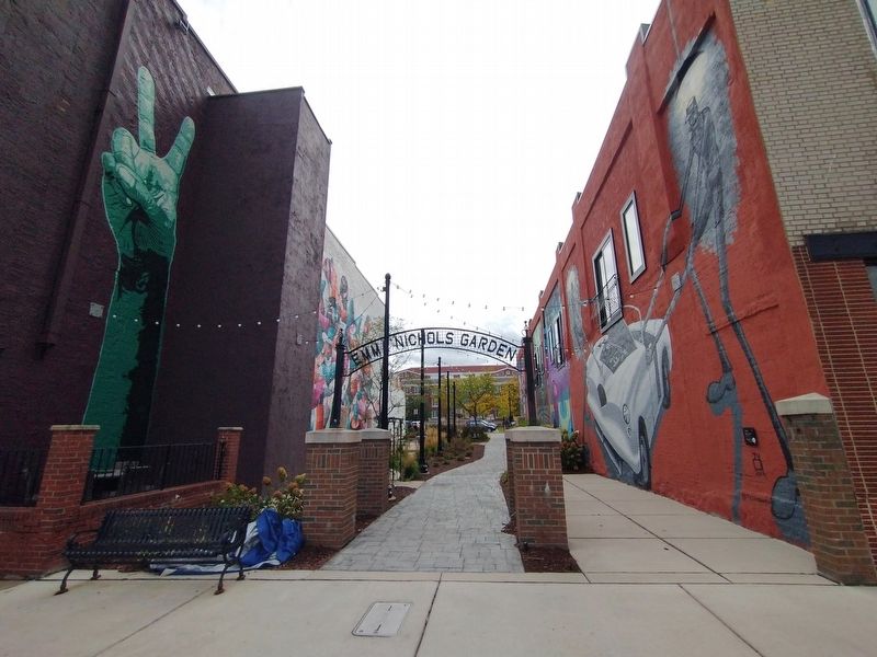
Photographed by Craig Doda, September 26, 2022
2. This alley is named for Emma Nichols Marker
Marker is behind the right pillar under the sign.
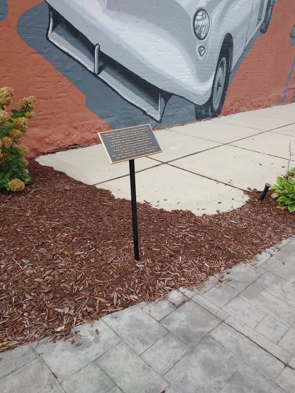
Photographed by Craig Doda, September 26, 2022
3. This alley is named for Emma Nichols Marker

Photographed by Joel Seewald, August 23, 2024
4. This alley is named for Emma Nichols Marker
Credits. This page was last revised on October 9, 2024. It was originally submitted on September 29, 2022, by Craig Doda of Napoleon, Ohio. This page has been viewed 544 times since then and 39 times this year. Photos: 1, 2, 3. submitted on September 29, 2022, by Craig Doda of Napoleon, Ohio. 4. submitted on October 8, 2024, by Joel Seewald of Madison Heights, Michigan. • Devry Becker Jones was the editor who published this page.
