Windsor Terrace in Brooklyn in Kings County, New York — The American Northeast (Mid-Atlantic)
Sixteenth Street
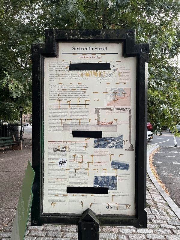
Brooklyn's Ice Age

Photographed By Devry Becker Jones (CC0), October 8, 2022
1. Sixteenth Street Marker
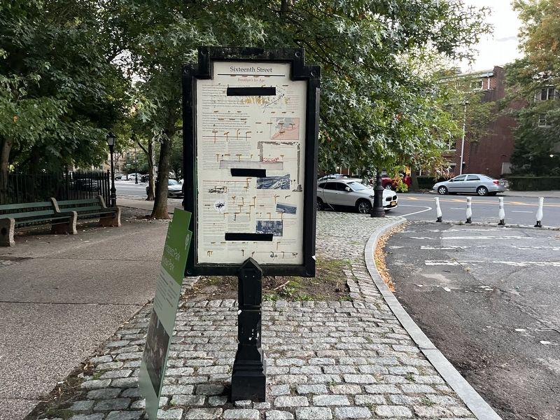
Velcro has been adhered to the marker and has obscured some of the text.
At this spot over 10,000 years ago a sheet of ice, as thick as the World Trade Center is tall, started melting. [Unreadble]
Upon this landscape, Frederick Law Olmsted and Calvert Vaux created their greatest masterpiece, Prospect Park. The unique combination of hills and forests, meadows and lakes gives this Park its beauty.
The geography of the Park is an essential part of its design. In the designers' time the hills boasted a modest woodlands, the remainder of one that stretched from here out to the end of Long Island. This rich plain supported an extensive farming community which for almost a century exported crops west to pioneers along the Erie Canal. The two distinct zones of landscape, the rocky hills or moraine and the outwash plain, give the Park a great range of environments and a greater diversity of plants.
[Captions:]
The Vaux sketch, January 7, 1865.
In his initial sketch for Prospect Park, Calvert Vaux rearranged the Park boundary proposed by Egbert Viele, to include the area of outwash plain. The woods and meadows in the moraine, together with a large lake in the outwash plain would provide the three fundamental features of a pastoral landscape. The Lake (above) under construction, looking southwest from Breeze Hill. Together with Lookout Hill in the distance to the right, and Willing Hill to the East, these ridges mark the southern most advance of the glacier in Prospect Park.
In 1868, (right) the Lake was dug out of the low-lying [unreadable] plain of the Wisconsin glacier, the point where the melting glacier washed away to the sea.
Friends Cemetery existed along Quaker Hill more than a decade before any plans before Prospect Park.
[Sidebar:]
[Unreadable] Friends Cemetery, established in 1851, is located just inside this entrance. The Prospect Park Southwest sidewalks were rebuilt in the 1990s.
[Marker reverse:]
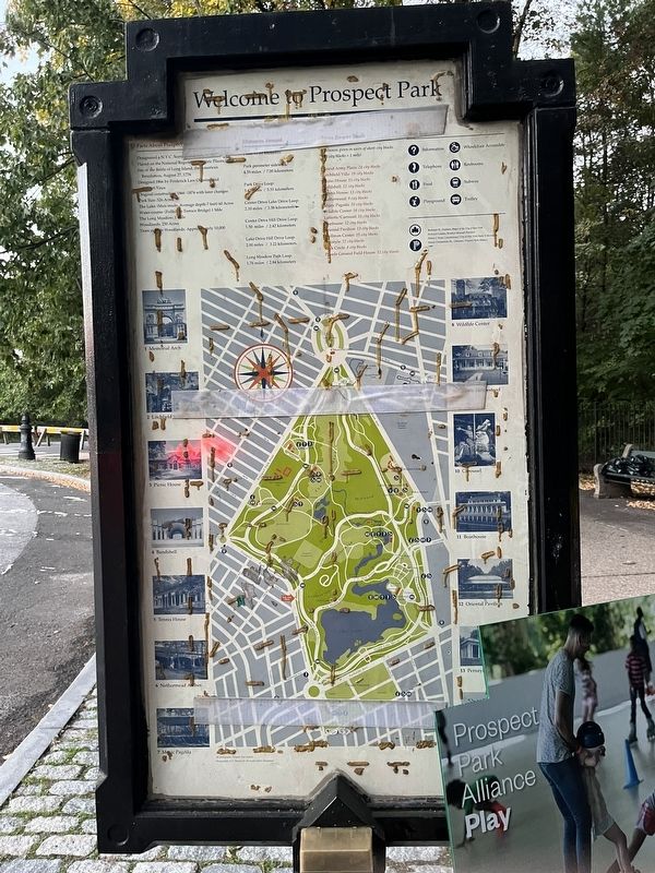
Facts About Prospect Park
• Designated a N.Y.C. Scenic Landmark in 1975
• Placed on the National Register of Historic Places, 1980
• Site of the Battle of Long Island, the American Revolution, August 27, 1776
• Designed 1866 by Frederick Law Olmsted and Cavert Vaux
• Original construction 1866 - 1874 with later changes
• Park Size: 526 Acres
• The Lake: (Man-made. Average depth-7 feet) 60 Acres
• Water-course: (Falling Terrace Bridge) 1 Mile
• The Long Meadow: 1 Mile
• Woodlands: 250 Acres
• Trees outside Woodlands: Approximately 10,000

Photographed By Devry Becker Jones (CC0), October 8, 2022
2. Welcome to Prospect Park side of the marker
Erected by Prospect Park Alliance, NYC Parks.
Topics and series. This historical marker is listed in these topic lists: Agriculture • Architecture • Cemeteries & Burial Sites • Churches & Religion • Parks & Recreational Areas. In addition, it is included in the NYC Parks, and the Quakerism series lists. A significant historical date for this entry is January 7, 1865.
Location. 40° 39.434′ N, 73° 58.427′ W. Marker has been reported unreadable. Marker is in Brooklyn, New York, in Kings County. It is in Windsor Terrace. Marker is at the intersection of Prospect Park Southwest and Captain Vincent E. Brunton Way, on the right when traveling north on Prospect Park Southwest. Touch for map. Marker is at or near this postal address: 105 Prospect Park Southwest, Brooklyn NY 11218, United States of America. Touch for directions.
Other nearby markers. At least 8 other markers are within walking distance of this location. Vanderbilt Street (approx. 0.2 miles away); The Wellhouse (approx. 0.2 miles away); Lookout Hill Woodland Restoration (approx. 0.2 miles away); How Does this Garden Save Water? (approx. 0.2 miles away); Maryland Monument (approx. ¼ mile away); For Valor and Sacrifice (approx. 0.4 miles away); The Marquis de Lafayette (approx. half a mile away); Immaculate Heart of Mary Parish WWII Memorial (approx. 0.6 miles away). Touch for a list and map of all markers in Brooklyn.
Additional keywords. landscape architecture
Credits. This page was last revised on January 31, 2023. It was originally submitted on October 10, 2022, by Devry Becker Jones of Washington, District of Columbia. This page has been viewed 65 times since then and 9 times this year. Photos: 1, 2, 3. submitted on October 10, 2022, by Devry Becker Jones of Washington, District of Columbia.
