Brewer in Penobscot County, Maine — The American Northeast (New England)
Chamberlain - Freedom Park
Brewer Historical Society
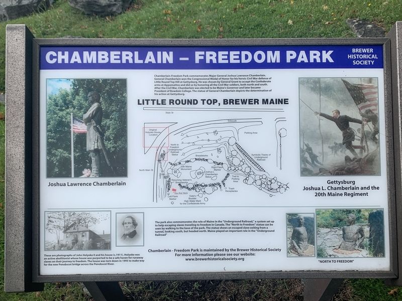
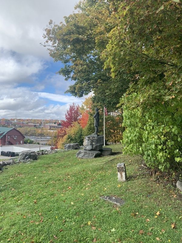
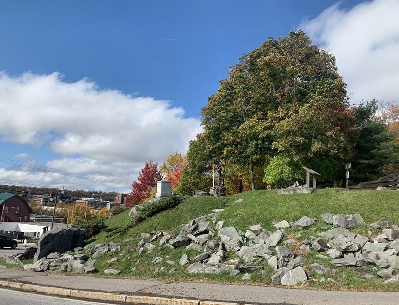
Chamberlain - Freedom Park commemorates Major General Joshua Lawrence Chamberlain. General Chamberlain won the Congressional Medal of Honor for his heroic Civil War defense of Little Round Top Hill at Gettysburg. He was chosen to accept the Confederate arms at Appomattox and did so by honoring all the Civil War soldiers, both north and south. Chamberlain was elected to be Maine’s Governor and later became President of Bowdoin College. The statue of General Chamberlain depicts the determination of his actions at Gettysburg.
The park also commemorates the role of Maine in the “Underground Railroad,” a system set up to help escaping slaves traveling to freedom in Canada. The “North to Freedom” statue can be seen by walking to the base of the park. The statue shows an escaped slave exiting from a tunnel, looking south, but headed north. Maine played an important part in the “Underground Railroad.”
Chamberlain - Freedom Park is maintained by the Brewer Historical Society. For more information please see our website.
(photos and drawings, from right to left, clockwise)
Gettysburg. Joshua L. Chamberlain and the 20th Maine
“North to Freedom”
These are photographs of John Holyoke II and his house (ca. 1911). Holyoke was an active abolitionist Whose house was purported to be a safe haven for runaway slaves on their journey to freedom. The house was torn down in 1995 to Make way for the new Penobscot bridge across the Penobscot River.
Joshua Lawrence Chamberlain
Little Round Top, Brewer Maine
Erected by Brewer Historical Society.
Topics. This historical marker is listed in these topic lists: Abolition & Underground RR • Parks & Recreational Areas • War, US Civil.
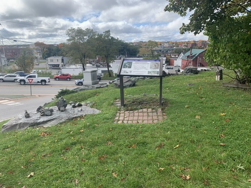
Location. 44° 47.847′ N, 68° 45.67′ W. Marker is in Brewer, Maine, in Penobscot County. Marker can be reached from the intersection of North Main Street (Maine Route 178) and State Street, on the right when traveling south. Touch for map. Marker is at or near this postal address: 304 N Main St, Brewer ME 04412, United States of America. Touch for directions.
Other nearby markers. At least 8 other markers are within walking distance of this marker. John Holyoke House (here, next to this marker); Samuel de Champlain (approx. half a mile away); A Place of Meeting (approx. 0.6 miles away); Spanish Bronze Cannon (approx. 0.6 miles away); Saltonstall's Naval Fleet Gun (approx. 0.6 miles away); Hannibal Hamlin (approx. 0.6 miles away); Hersey Memorial Building (Old Bangor City Hall) Bell (approx. 0.6 miles away); Bangor Victory Platoon (approx. 0.6 miles away).
More about this marker. The center map on the marker lays out the park and is a replica of the battle line of the 20th Maine at Gettysburg just before Chamberlain's charge.
Also see . . .
1. Brewer Historical Society. (Submitted on October 17, 2022, by Steve Stoessel of Niskayuna, New York.)
2. Joshua Chamberlain. (Submitted on October 17, 2022, by Steve Stoessel of Niskayuna, New York.)
3. Underground Railroad. (Submitted on October 17, 2022, by Steve Stoessel of Niskayuna, New York.)
4. Little Round Top. (Submitted on October 18, 2022, by Steve Stoessel of Niskayuna, New York.)
Credits. This page was last revised on October 18, 2022. It was originally submitted on October 17, 2022, by Steve Stoessel of Niskayuna, New York. This page has been viewed 216 times since then and 37 times this year. Photos: 1, 2, 3, 4. submitted on October 17, 2022, by Steve Stoessel of Niskayuna, New York. • Bernard Fisher was the editor who published this page.


