Middletown Township near Highlands in Monmouth County, New Jersey — The American Northeast (Mid-Atlantic)
Sandy Hook
Gateway National Recreational Area, Sandy Hook Unit
| — | National Park Service, U.S. Department of the Interior | — |
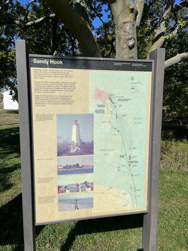
Stretching off the northern tip of the New Jersey Shore, the 1,650 acre peninsula preserves six miles of ocean beaches enjoyed by more than two million visitors a year. But there’s much more.
Beyond its well-known beaches, sand dunes and salt marshes extend to Sandy Hook Bay. These coastal environments support and array of wildlife, including more than 300 species of migratory and native birds. Offshore, dozens of fish species and other aquatic life thrive in these waters.
Sandy Hook has history, too. Its lighthouse, the oldest in the nation, has guided shipping since 1764. Forts here protected New York Harbor for two centuries. Explore Fort Hancock and discover Sandy Hook’s role in navigation and the defense of our nation.
[Caption:]
Historic resources abound in and around Fort Hancock—from the 1764 Sandy Hook Lighthouse to 1890s Endicott fortification to the remains of the Sandy Hook Proving Ground.
Erected by National Park Service, U.S. Department of the Interior.
Topics and series. This historical marker is listed in these topic lists: Colonial Era • Communications • Forts and Castles
this page online
Location. 40° 27.709′ N, 74° 0.141′ W. Marker is near Highlands, New Jersey, in Monmouth County. It is in Middletown Township. It is on Mercer Road north of Hudson Road, on the right when traveling north. Touch for map. Marker is at or near this postal address: 84 Mercer Rd, Highlands NJ 07732, United States of America. Touch for directions.

Regionally, this marker is in Central Jersey, specifically on the Jersey Shore, and in the New York City Metropolitan Area. It is also in the American Northeast, in the Mid-Atlantic, and on the Eastern Seaboard. Globally, it is in the North Atlantic Region, North America, the Western Hemisphere, the Western World, and the Anglosphere. Historically, it finds itself in what was once New Netherland and also one of the original Thirteen Colonies.
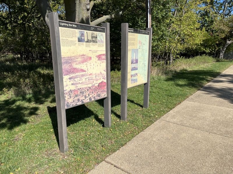
Other nearby markers. At least 8 other markers are within walking distance of this marker: Lighting the Way (here, next to this marker); Sandy Hook Light (within shouting distance of this
Credits. This page was last revised on February 7, 2023. It was originally submitted on October 18, 2022, by Devry Becker Jones of Washington, District of Columbia. This page has been viewed 212 times since then and 29 times this year. Photos: 1, 2. submitted on October 18, 2022, by Devry Becker Jones of Washington, District of Columbia.
