Hollister in Santa Clara County, California — The American West (Pacific Coastal)
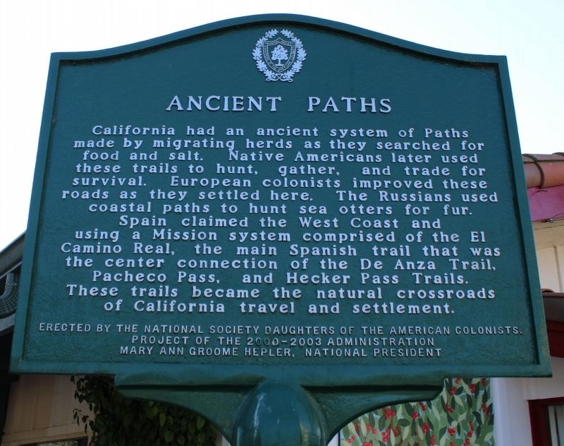
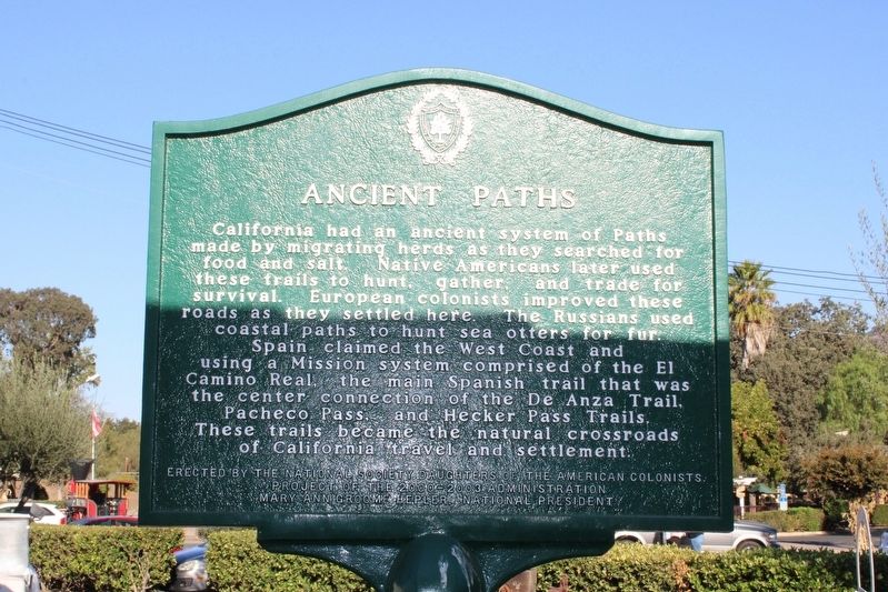
Ancient Paths
Erected by the National Society of Daughters of the American Colonists.
Project of the 2000-2003 Administration
Mary Ann Groome Helper, National President
Erected by National Society Daughters of the American Colonists.
Topics and series. This historical marker is listed in these topic lists: Exploration • Immigration • Native Americans • Roads & Vehicles. In addition, it is included in the Daughters of the American Colonists, the El Camino Real, “The King's Highway” (California), and the Juan Bautista de Anza National Historic Trail series lists.
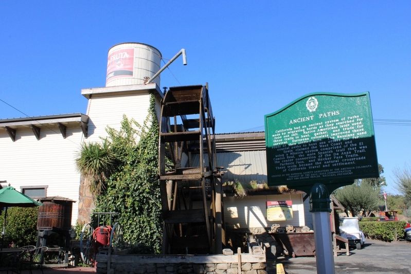
Location. 36° 59.279′ N, 121° 22.943′ W. Marker is in Hollister, California, in Santa Clara County. Marker can be reached from Casa de Fruta Parkway near Pacheco Pass Highway (California Route 152). The plaque is on a metal pole at the rear of the fruit stand store. Touch for map. Marker is at or near this postal address: 10021 Pacheco Pass Hwy, Hollister CA 95023, United States of America. Touch for directions.
Other nearby markers. At least 8 other markers are within 10 miles of this marker, measured as the crow flies. History of Sluice Mining (a few steps from this marker); Bell Station (approx. 5.2 miles away); Rancho San Ysidro / San Ysidro School (approx. 7.8 miles away); Cottage Corners (approx. 8.3 miles away); Site of San Justo Ranch Home (approx. 9.4 miles away); Hollister Train Service (approx. 9˝ miles away); William Clyde "Wino Willie" Forkner, Jr. (approx. 9˝ miles away); San Benito County Vietnam War Memorial (approx. 9.6 miles away). Touch for a list and map of all markers in Hollister.
Also see . . . National Society Daughters of the American Colonists. The website contains links to their historical markers program. (Submitted on October 31, 2022, by Joseph Alvarado of Livermore, California.)
Credits. This page was last revised on October 31, 2022. It was originally submitted on October 31, 2022, by Joseph Alvarado of Livermore, California. This page has been viewed 130 times since then and 15 times this year. Photos: 1, 2, 3. submitted on October 31, 2022, by Joseph Alvarado of Livermore, California.


