Tremé / Lafitte in New Orleans in Orleans Parish, Louisiana — The American South (West South Central)
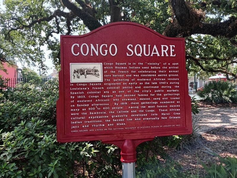
Congo Square
Photographed by Cajun Scrambler, July 3, 2025
1. Congo Square Marker
Congo Square was listed on the National Register of Historic Places on January 28, 1993.
Erected by National Park Service.
Topics. This historical marker is listed in these topic lists: African Americans • Anthropology & Archaeology • Arts, Letters, Music • Colonial Era
this page online
Location. 29° 57.661′ N, 90° 4.103′ W. Marker is in New Orleans, Louisiana, in Orleans Parish. It is in Tremé / Lafitte. It can be reached from Orleans Street. Marker is in Louis Armstrong Park, north of the south (Basin St./N. Rampart St.) pedestrian entrance, across the promenade from the New Orleans Municipal Theater building. Touch for map. Marker is at or near this postal address: 901 N Rampart Street, New Orleans LA 70116, United States of America. Touch for directions.

Regionally, this marker is in one of the River Parishes. It is also in the American South, specifically in the Deep South, on the Gulf Coast, and in the Great River Road Region. Globally, it is in North America, a Gulf of Mexico state, the Western Hemisphere, the Western World, and the Anglosphere. Historically, it finds itself in what was once New Spain, the Viceroyalty of New France, the territory of the Mississippian Culture, the Louisiana Purchase, one of the Confederate States of America,
Photographed by Cajun Scrambler, July 3, 2025
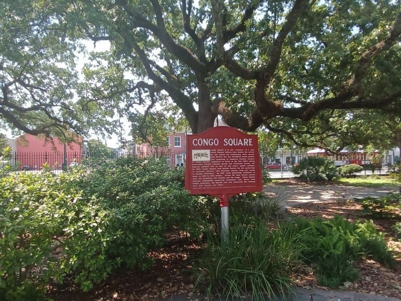
2. Congo Square Marker
Other nearby markers. At least 8 other markers are within walking distance of this marker: Sidney Joseph Bechet (within shouting distance of this marker); a different marker also named Congo Square (within shouting distance of this marker); New Orleans Marching Brass Band (within shouting distance of this marker); Allison "Big Chief Tootie" Montana (about 300 feet away, measured in a direct line); Charles "Buddy" Bolden (about 500 feet away); St. Peter Guest House (about 500 feet away); Louis “Satchmo” Armstrong (about 500 feet away); First Recording Studio of Cosimo Matassa (about 600 feet away). Touch for a list and map of all markers in New Orleans.
Also see . . . Congo Square. (Submitted on July 19, 2009, by Richard E. Miller of Oxon Hill, Maryland.)
Additional keywords. Tremé; Louis Armstrong Park; Beauregard Park; slavery
Photographed by Richard E. Miller, July 14, 2009
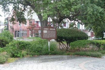
3. Congo Square Marker
Photographed by Wikipedia
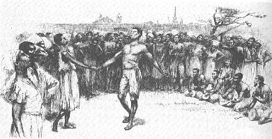
4. Illustration on Congo Square Marker
Dance in Congo Square in the late 1700s, artist's conception by E. W. Kemble from a century later.
Credits. This page was last revised on July 3, 2025. It was originally submitted on July 19, 2009, by Richard E. Miller of Oxon Hill, Maryland. This page has been viewed 4,320 times since then and 181 times this year. Photos: 1, 2. submitted on July 3, 2025, by Cajun Scrambler of Assumption, Louisiana. 3, 4. submitted on July 19, 2009, by Richard E. Miller of Oxon Hill, Maryland. • Christopher Busta-Peck was the editor who published this page.
