New Braunfels in Comal County, Texas — The American South (West South Central)
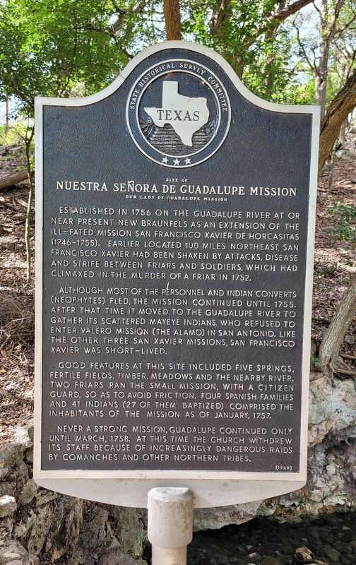
Site of Nuestra Señora de Guadalupe Mission
Our Lady of Guadalupe Mission
Although most of the personnel and Indian converts (Neophytes) fled, the mission continued until 1755. After that time it moved to the Guadalupe River to gather its scattered Mayeye Indians. Who refused to enter Valero Mission (The Alamo) in San Antonio. Like the other three San Xavier missions, San Francisco Xavier was short-lived.
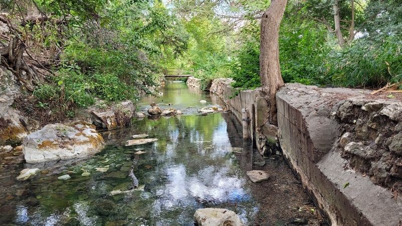
Good features at this site included five springs, fertile fields, timber, meadows and the nearby river. Two friars ran the small mission, with a citizen guard, so as to avoid friction. Four Spanish families and 41 Indians (27 of them baptized) comprised the inhabitants of the mission as of January, 1757.
Never a strong mission, Guadalupe continued only until March, 1758. At this time the church withdrew its staff because of increasingly dangerous raids by Comanches and other northern tribes.
Erected 1968 by State Historical Survey Committee. (Marker Number 4842.)
Topics. This historical marker is listed in these topic lists: Churches & Religion • Colonial Era • Hispanic Americans • Native Americans. A significant historical month for this entry is January 1757.
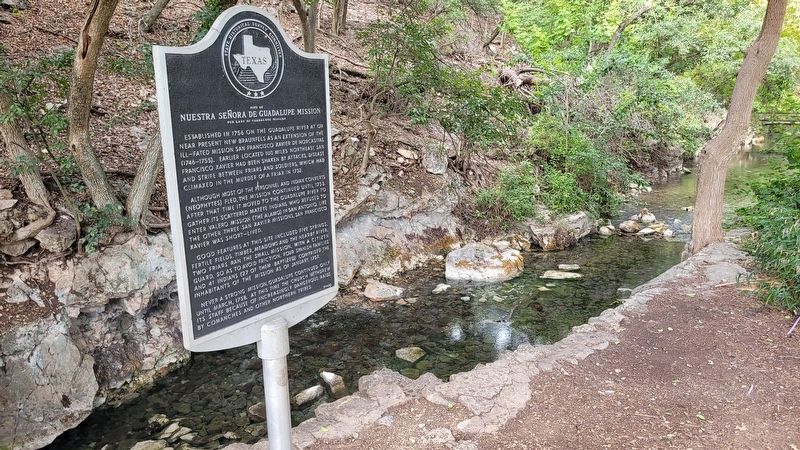
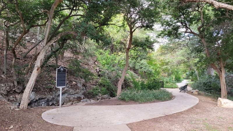
Location. 29° 42.81′ N, 98° 8.225′ W. Marker is in New Braunfels, Texas, in Comal County. Marker can be reached from the intersection of Gazebo Circle and Landa Park Drive. The marker is located in the north section of Landa Park along the spring on Gazebo Circle. Touch for map. Marker is in this post office area: New Braunfels TX 78130, United States of America. Touch for directions.
Other nearby markers. At least 8 other markers are within walking distance of this marker. Comal Springs (within shouting distance of this marker); Prehistoric Life at Comal Springs (about 300 feet away, measured in a direct line); This Monument Marks the Location (about 600 feet away); Mayors' Monarch Pledge (about 600 feet away); It All Began Here (about 600 feet away); New Braunfels Gemischter Chor Harmonie (about 600 feet away); German Pioneers Monument (about 700 feet away); Founder's Oak (about 800 feet away). Touch for a list and map of all markers in New Braunfels.
Also see . . .
1. Nuestra Señora de Guadalupe Mission. Texas State Historical Association
Nuestra Señora de Guadalupe Mission was part of the missionary complex that grew up at a Polacme Indian village near the confluence of the Rio Grande and Río Conchos. Sixteenth-century explorers such as Antonio de Espejo called it Santiago. Their early expeditions referred to it as the largest of the pueblos at La Junta de los Ríos del Norte y Conchos. In 1670 missions were tentatively begun in the area, but no detail concerning them has survived. Fray Miguel de Menchero, in his recounting in 1744 of missionary activity at La Junta, stated that these early attempts were short-lived. It was not until 1683 that missions were established on a permanent basis. In that year Juan Sabeata, chief of the Jumano and Cíbola Indians at La Junta, appeared at El Paso, leading a delegation asking that the Spaniards establish missions in their pueblos. When they appeared to demur, the Indians told of the miraculous appearance of a cross over their pueblos. Later the Spaniards found the story to be a fabrication of a Tejas Indian accompanying Sabeata. At the time, however, the custodian of religious at El Paso agreed to send missionaries on the condition that the Indians build a church and living quarters to accommodate them.(Submitted on November 13, 2022, by James Hulse of Medina, Texas.)
2. Mayeye Indians. Texas State Historical Association
The Mayeye (Macheye, Maheye, Maiece, Maieye, Malleye, Maye, Muleye) Indians, a Tonkawa Indian tribe, are known principally from the eighteenth century. It is generally agreed that the Meghey (Maghay, Meghty) of the La Salle expedition records were the same as the Mayeye of later times. The Meghey lived inland north or northeast of Matagorda Bay, probably between the Colorado and Brazos rivers. In the early eighteenth century the Spanish found the Mayeye in the same general area and also farther north in the valley of the Brazos River, particularly east of the site of present Temple. Later (about 1748) Mayeye Indians entered San Francisco Xavier de Horcasitas Mission on the San Gabriel River near the site of modern Rockdale. A few years afterward, when the San Gabriel missions were abandoned, some of the Mayeyes entered San Antonio de Valero Mission at San Antonio, where they were recorded as late as the 1760s.(Submitted on November 13, 2022, by James Hulse of Medina, Texas.)
Credits. This page was last revised on November 13, 2022. It was originally submitted on November 13, 2022, by James Hulse of Medina, Texas. This page has been viewed 206 times since then and 38 times this year. Photos: 1, 2, 3, 4. submitted on November 13, 2022, by James Hulse of Medina, Texas.


