Near Sioux Falls in Lincoln County, South Dakota — The American Midwest (Upper Plains)
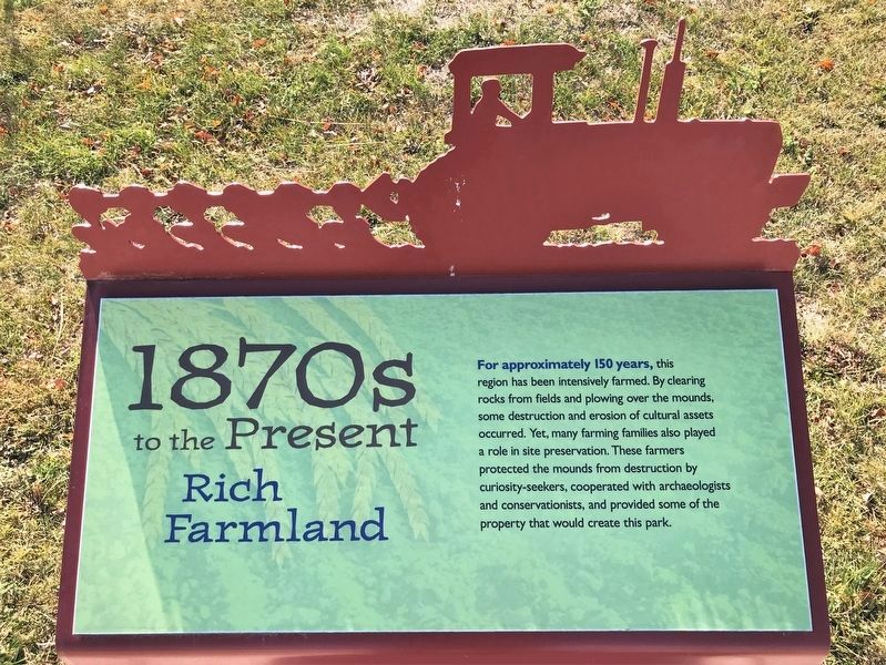
1870s to the Present
Rich Farmland
October 30, 2022
1. 1870s to the Present Marker
Topics. This historical marker is listed in these topic lists: Agriculture • Anthropology & Archaeology • Parks & Recreational Areas.
Location. 43° 28.653′ N, 96° 35.653′ W. Marker is near Sioux Falls, South Dakota, in Lincoln County. It can be reached from 480th Avenue (County Highway 135) ¼ mile south of 269th Street (County Highway 102). Located by the Good Earth State Park visitor center. Touch for map. Marker is at or near this postal address: 26924 480th Ave, Sioux Falls SD 57108, United States of America. Touch for directions.

Regionally, this marker is in East River. It is also in the American Midwest, in the Lewis
this page online
Other nearby markers. At least 8 other markers are within walking distance of this marker: 1888 (here, next to this marker); 1980s (a few steps from this marker); Why the Name “Good Earth”? (a few steps from this marker); 1870s (a few steps from this marker); 1714 (within shouting distance of this marker); 1600s (within shouting distance of this marker); 1300s (within shouting distance of this marker); Sacred Images (within shouting distance of this marker). Touch for a list and map of all markers in Sioux Falls.
October 30, 2022
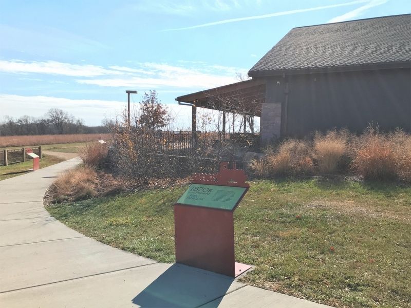
2. 1870s to the Present Marker
Credits. This page was last revised on November 17, 2022. It was originally submitted on November 17, 2022. This page has been viewed 259 times since then and 21 times this year. Photos: 1, 2. submitted on November 17, 2022.
