Lincoln Park in San Francisco City and County, California — The American West (Pacific Coastal)
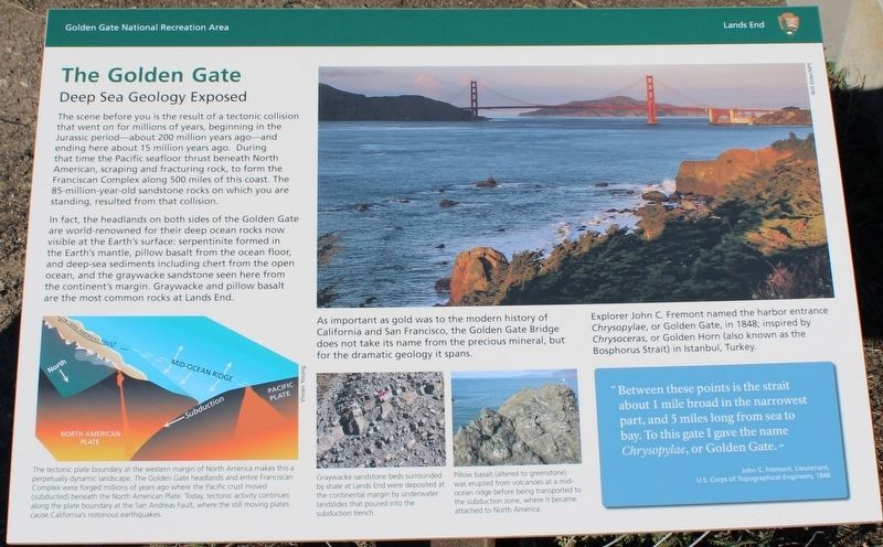
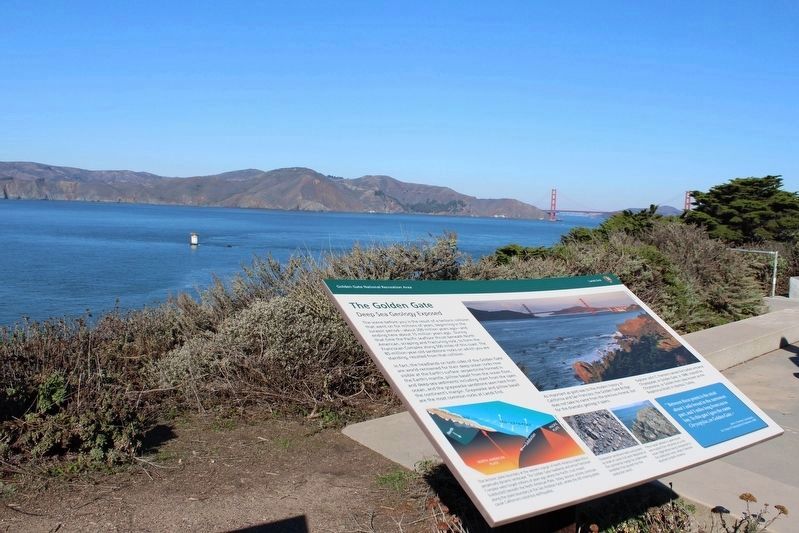
The Golden Gate
Deep Sea Geology Exposed
The scene before you is the result of a tectonic collision that went on for millions of years, beginning in the Jurassic period – about 200 million years ago – and ending here about 15 million years ago. During that time the Pacific seafloor thrust beneath the Franciscan Complex along 500 miles of this coast. The 85-million-year-old sandstone rocks on which you are standing, resulted from that collision.
In fact, the headlands on both sides of the Golden Gate are world-renowned for their deep ocean rocks now visible at the Earth’s surface: serpentine formed in the Earth’s mantle, pillow basalt from the ocean floor, and deep-sea sediments including chert from the open ocean, and the graywacke sandstone seen here from the continent’s margin. Graywacke and pillow basalt are the most common rocks at Lands End.
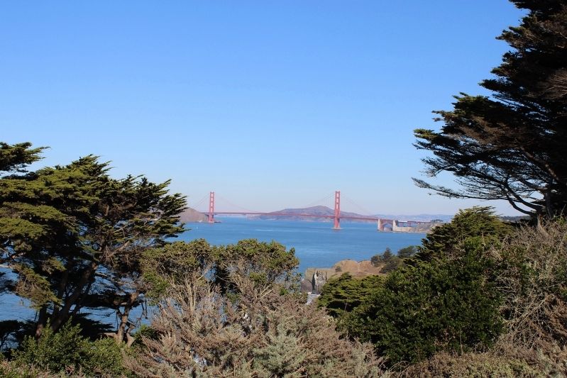
As important as gold was to the modern history of California and San Francisco, the Golden Gate Bridge does not take its name from the precious metal, but from the dramatic geology it spans.
Explorer John C. Fremont named the harbor entrance Chrysopylae, or Golden Gate, in 1848; inspired by Chrysoceras, or Golden Horn (also known as the Bosphorus Strait) in Istanbul, Turkey.
“Between these points is the strait about 1 mile broad in the narrowest part, and 5 miles long from sea to bay. To this gate I gave the name Chrysopylae, or Golden Gate.”
John C. Fremont, Lieutenant
U.S. Corps of Topographical Engineers, 1848
Images, left to right:
The tectonic plate boundary at the western margin of North America makes this a perpetually dynamic landscape. The Golden Gate headlands and entire Franciscan Complex were forged millions of years ago where the Pacific crust moved (subducted) beneath the North American Plate. Today, tectonic activity continues along the plate boundary at the San Andreas Fault, where the still moving plates cause California’s notorious earthquakes.
Graywacke sandstone beds surrounded by shale at Lands End were deposited at the continental margin by underwater landslides that poured into the subduction trench.
Pillow basalt (altered to greenstone) was erupted from volcanoes at a mid-ocean ridge before being transported to the subduction zone, where it became attached to North America.
Erected by National Park Service - Golden Gate National Recreation Area - Lands End.
Topics. This historical marker is listed in these topic lists: Bridges & Viaducts • Parks & Recreational Areas • Science & Medicine • Waterways & Vessels. A significant historical year for this entry is 1848.
Location. 37° 47′
N, 122° 30.69′ W. Marker is in San Francisco, California, in San Francisco City and County. It is in Lincoln Park. Marker can be reached from El Camino Del Mar near Seal Rock Drive. The resin marker is mounted to a metal stand on the Lands End Loop Trail (also the Coastal Trail) at the Eastern Coastal Trail Overlook, below the El Camino Del Mar parking lot. Touch for map. Marker is at or near this postal address: 2586 El Camino Del Mar, San Francisco CA 94121, United States of America. Touch for directions.
Other nearby markers. At least 8 other markers are within walking distance of this marker. Port of San Francisco (here, next to this marker); Navigating the Golden Gate (a few steps from this marker); Lands End (within shouting distance of this marker); Death of a Sailor (within shouting distance of this marker); The Honored Dead (within shouting distance of this marker); This Memorial to Rear Admiral Daniel J. Callaghan (within shouting distance of this marker); FDR's Salute (within shouting distance of this marker); The Naval Battle of Guadalcanal (within shouting distance of this marker). Touch for a list and map of all markers in San Francisco.
Also see . . . Golden Gate National Parks Conservancy: Lands End Lookout.
"The Lookout brings together the cultural and natural stories of Lands End, and serves as a starting point for exploring the trails that stretch out into the landscape."
(Submitted on November 18, 2022, by Joseph Alvarado of Livermore, California.)
Credits. This page was last revised on February 7, 2023. It was originally submitted on November 18, 2022, by Joseph Alvarado of Livermore, California. This page has been viewed 99 times since then and 19 times this year. Photos: 1, 2, 3, 4, 5. submitted on November 18, 2022, by Joseph Alvarado of Livermore, California.
