Nacogdoches in Nacogdoches County, Texas — The American South (West South Central)
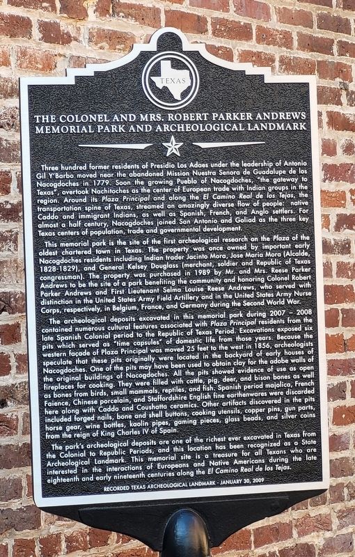
The Colonel and Mrs. Robert Parker Andrews Memorial Park and Archeological Landmark
Inscription.
Three hundred former residents of Presidio Los Adaes under the leadership of Antonio Gil Y'Barbo moved near the abandoned Mission Nuestra Senora de Guadalupe de los Nacogdoches in 1779. Soon the growing Pueblo of Nacogdoches, "the gateway to Texas", overtook Nachitoches as the center of European trade with Indian groups in the region. Around its Plaza Principal and along the El Camino Real de los Tejas, the transportation spine of Texas, streamed an amazingly diverse flow of people: native Caddo and immigrant Indians, as well as Spanish, French, and Anglo settlers. For almost a half century, Nacogdoches joined San Antonio and Goliad as the three key Texas centers of population, trade and governmental development.
This memorial park is the site of the first archeological research on the Plaza of the oldest chartered town in Texas. The property was once owned by important early Nacogdoches residents including Indian trader Jacinto Mora, Jose Maria Mora (Alcalde, 1828-1829), and General Kelsey Douglass (merchant, soldier and Republic of Texas congressman). The property was purchased in 1989 by Mr. and Mrs. Reese Parker Andrews to be the site of a park benefiting the community and honoring Colonel Robert Parker Andrews and First Lieutenant Selma Louise Reese Andrews, who served with distinction in the United States Army Field Artillery and in the United States Army Nurse Corps, respectively, in Belgium, France, and Germany during the Second World War.
The archeological deposits excavated in this memorial park during 2007 - 2008 contained numerous cultural features associated with Plaza Principal residents from the late Spanish Colonial period to the Republic of Texas Period. Excavations exposed six pits which served as "time capsules" of domestic life from those years. Because the western façade of Plaza Principal was moved 25 feet to the west in 1856, archeologists speculate that these pits originally were located in the backyard of early houses of Nacogdoches. One of the pits may have been used to obtain clay for the adobe walls of the original buildings of Nacogdoches. All the pits showed evidence of use as open fireplaces for cooking. They were filled with cattle, pig, deer, and bison bones as well as bones from birds, small mammals, reptiles, and fish. Spanish period majolica, French Faience, Chinese porcelain, and Staffordshire English fine earthenwares were discarded here along with Caddo and Coushatta ceramics. Other artifacts discovered in the pits included forged nails, bone and shell buttons, cooking utensils, copper pins, gun parts, horse gear, wine bottles, kaolin pipes, gaming pieces, glass beads, and silver coins from the reign of King Charles IV of
Spain.
The park's archeological deposits are one of the richest ever excavated in Texas from the Colonial to Republic Periods, and this location has been recognized as a State Archeological Landmark. This memorial site is a treasure for all Texans who are interested in the interactions of Europeans and Native Americans during the late eighteenth and early nineteenth centuries along the El Camino Real de los Tejas.
Erected 2009.
Topics. This historical marker is listed in these topic lists: Anthropology & Archaeology • Colonial Era • Native Americans • War, World II. A significant historical date for this entry is January 30, 2009.
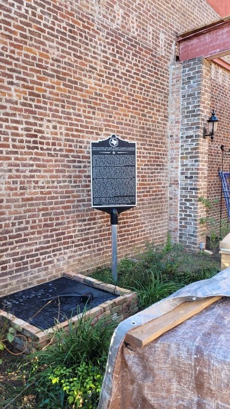
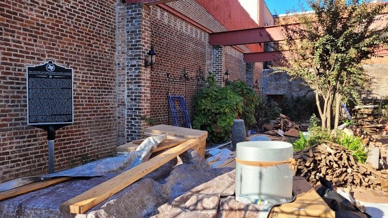
Location. 31° 36.196′ N, 94° 39.326′ W. Marker is in Nacogdoches, Texas, in Nacogdoches County. Marker is at the intersection of South Pecan Street and East Main Street, on the right when traveling south on South Pecan Street. The marker is located inside a small private courtyard between the buildings. Touch for map. Marker is at or near this postal address: 104 South Pecan Street, Nacogdoches TX 75961, United States of America. Touch for directions.
Other nearby markers. At least 8 other markers are within walking distance of this marker. Plaza Place (here, next to this marker); Old Wettermark Bank Building (a few steps from this marker); The West Side of the Square
(a few steps from this marker); Diedrich Anton Wilhelm Rulfs (within shouting distance of this marker); First National Bank - 1890 (within shouting distance of this marker); Weeks Building (within shouting distance of this marker); The Hoya Buildings (within shouting distance of this marker); The Nine Flags of Nacogdoches (within shouting distance of this marker). Touch for a list and map of all markers in Nacogdoches.
Also see . . .
1. Old San Antonio Road. Texas State Historical Association (Submitted on November 22, 2022, by James Hulse of Medina, Texas.)
2. Ibarvo, Antonio Gil (1729–1809). Texas State Historical Association (Submitted on November 22, 2022, by James Hulse of Medina, Texas.)
Credits. This page was last revised on November 22, 2022. It was originally submitted on November 22, 2022, by James Hulse of Medina, Texas. This page has been viewed 95 times since then and 24 times this year. Photos: 1, 2, 3. submitted on November 22, 2022, by James Hulse of Medina, Texas.


